About
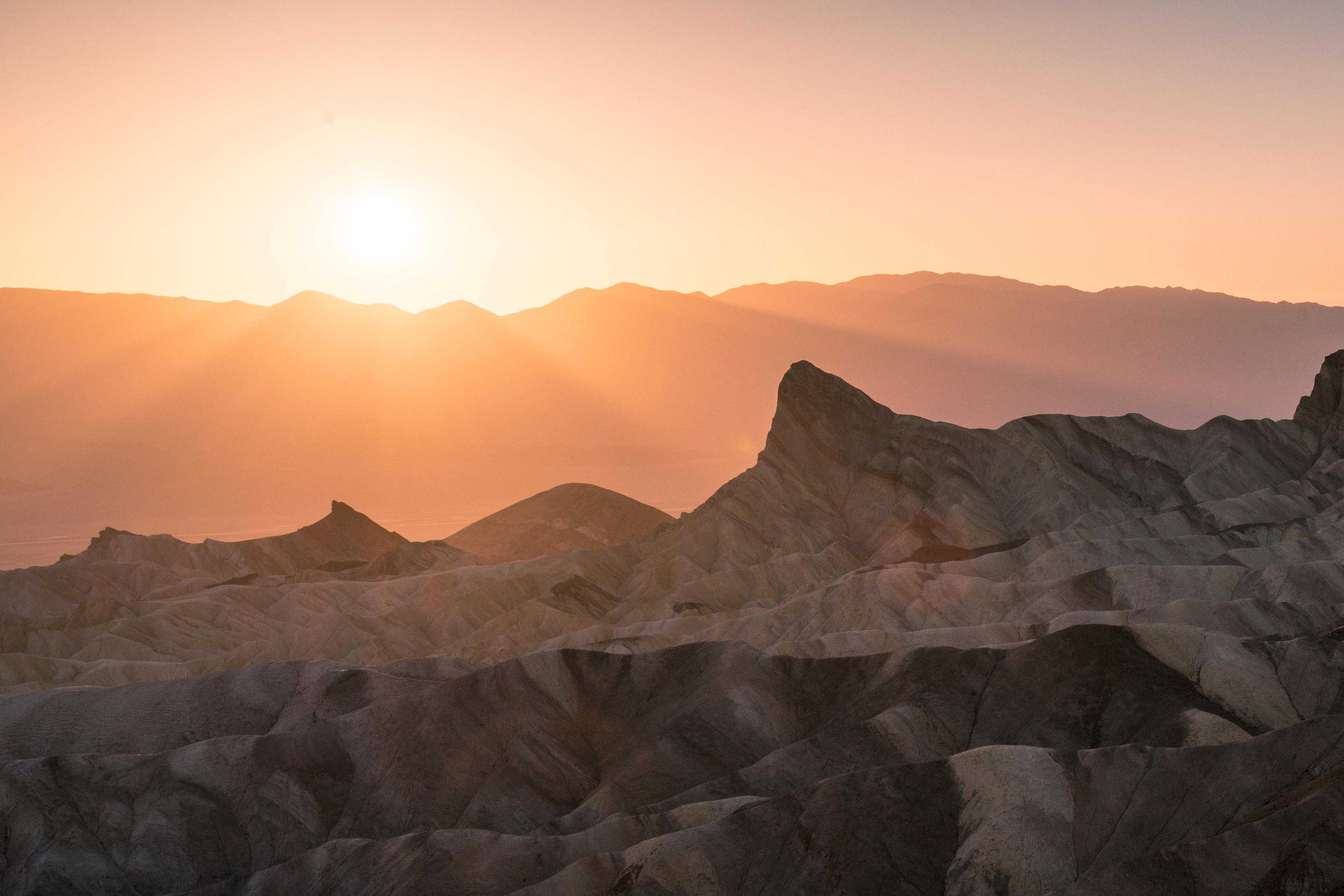
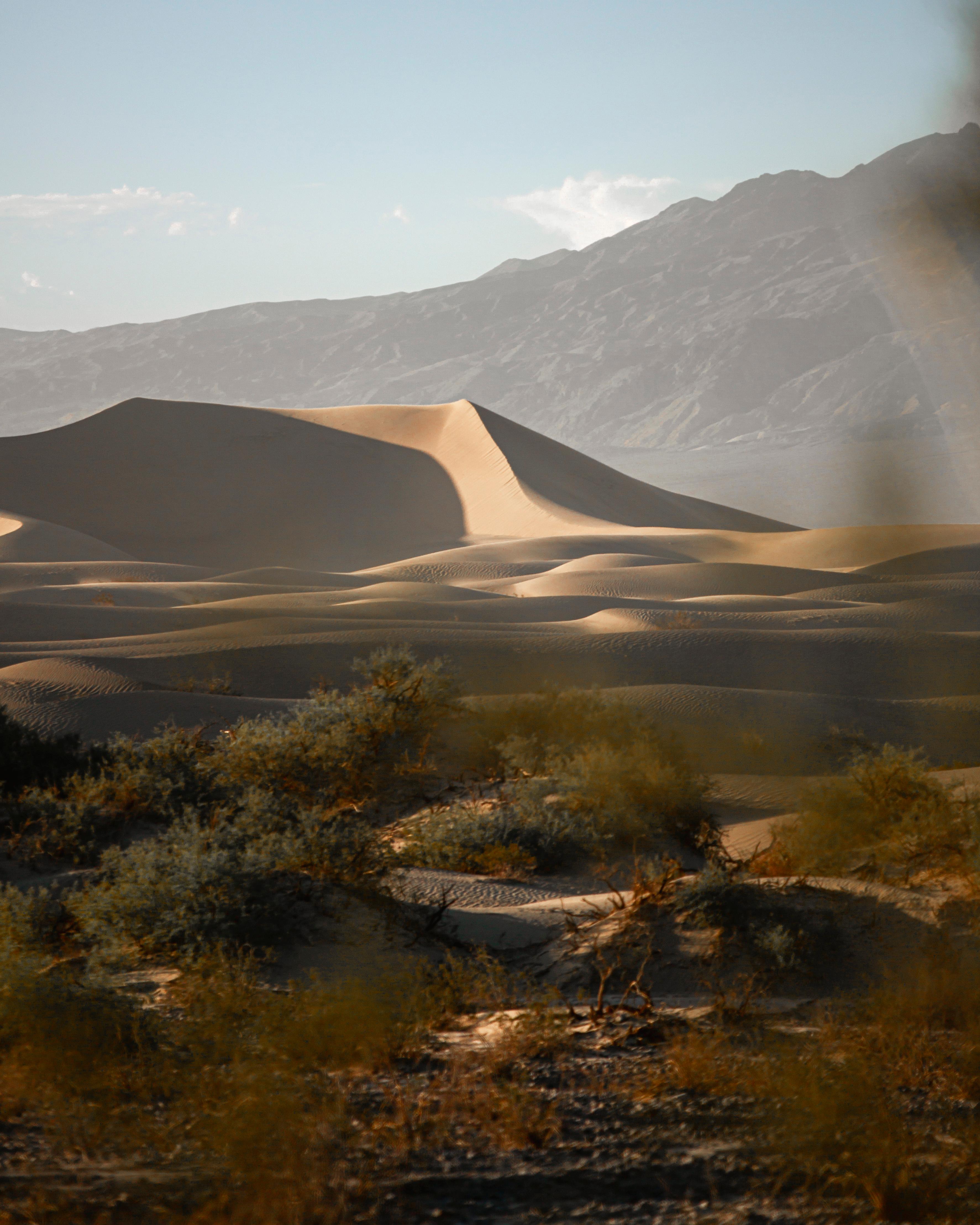
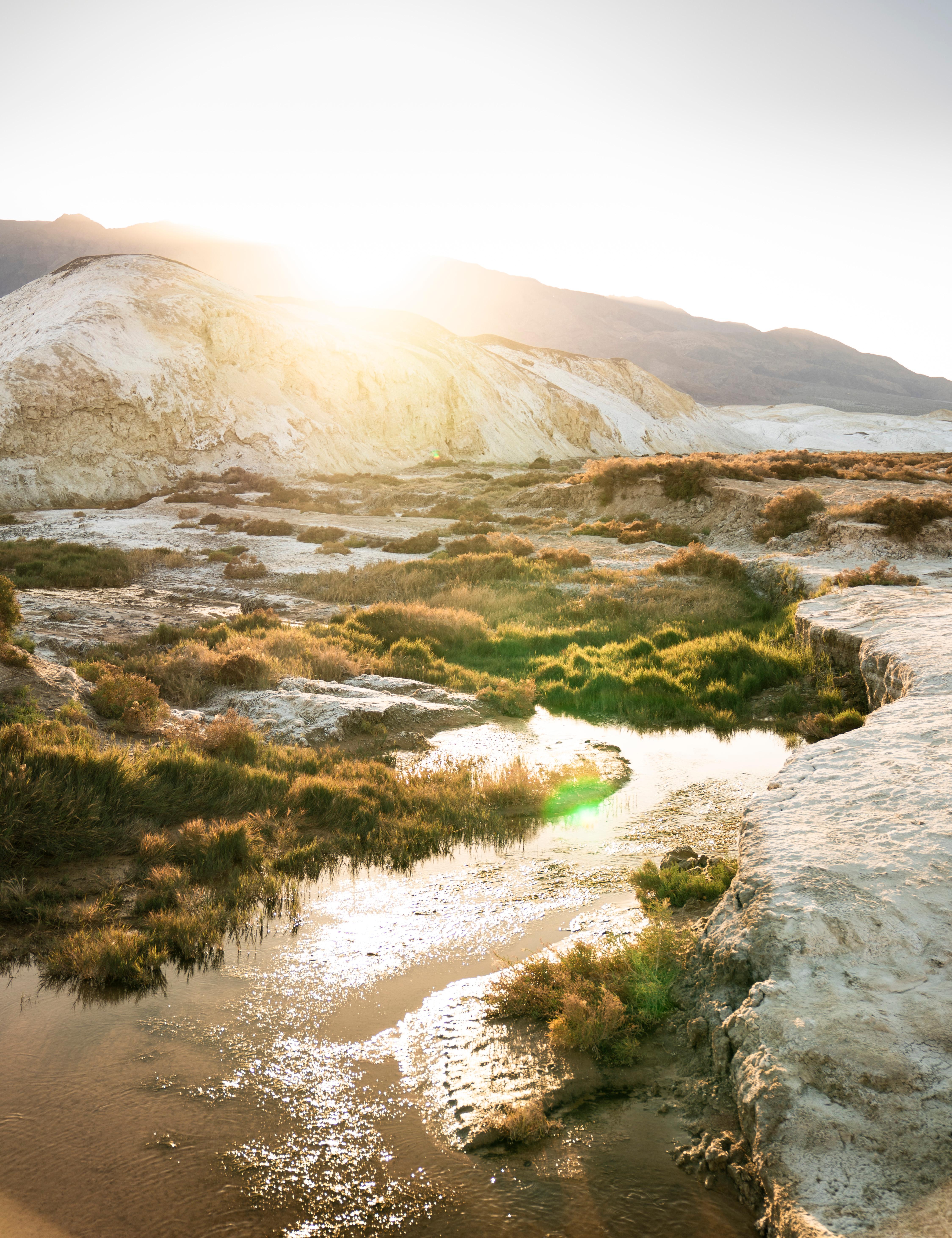
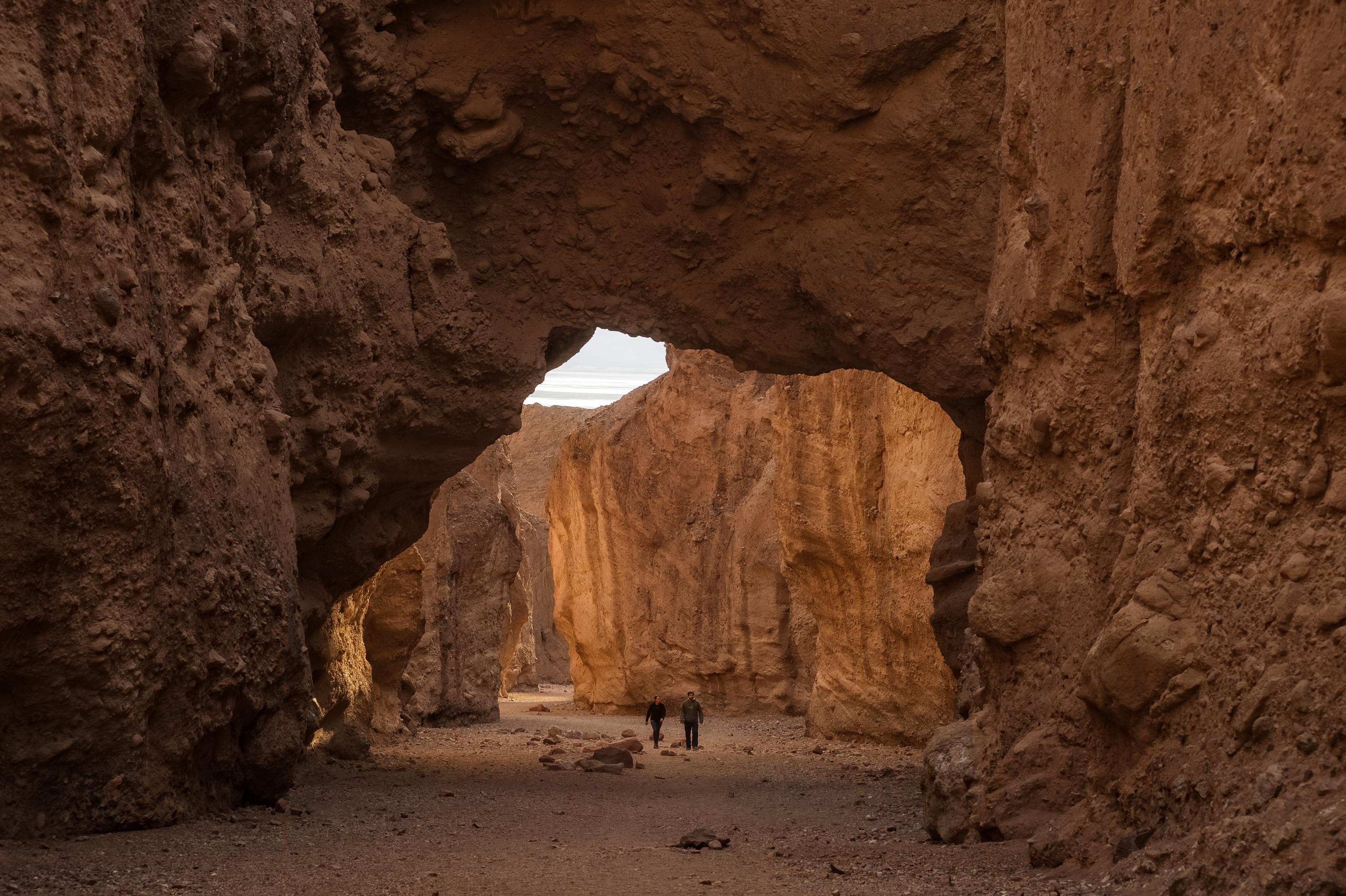
You will find massive salt flats and deep basins sitting well below sea level across the California and Nevada border. It is a land of extreme temperature swings where you can catch wildflower blooms after a rare rain or find shade near a desert oasis.
Updated
Charging at a glance
- Closest listed charger: 23.3 km (L2)
From the Open Charge Map listings under Charging nearby.
Quick Facts
Notable for: largest national park in the contiguous United States, as well as the hottest, driest and lowest of all the national parks in the United States
Founded: 1994
Elevation: 282 feet (86 m) below sea level
EV charging notes
- There are no rapid chargers inside the parkSource: www.nps.gov
- Four chargers are located at Stovepipe Wells adjacent to the General StoreSource: www.nps.gov
Camping and fees
- Reservations
- : No reservation is required to enter the parkSource: www.nps.gov
Charging nearby
Charging data from Open Charge Map
Inn at Death Valley
View on Open Charge MapL223.3 kmRanch at Death Valley
View on Open Charge MapL224.2 km
Camp and charge reports
No reports yet - be the first to share what you found.
Sign in to add a reportWorth the detour?
No verdicts yet - be the first who's been there.
Sign in to leave a verdictAttribution
- nps.gov
- nps.gov
- nps.gov
- NPS - National Park Service
- National Park Service - Data and descriptions courtesy of the National Park Service (NPS), U.S. Department of the Interior. Public domain.
- Recreation.gov (RIDB) - Recreation Information Database (RIDB)
- Wikidata - Wikidata / Wikimedia Commons
- Wikipedia - Wikipedia (CC BY-SA)