

About
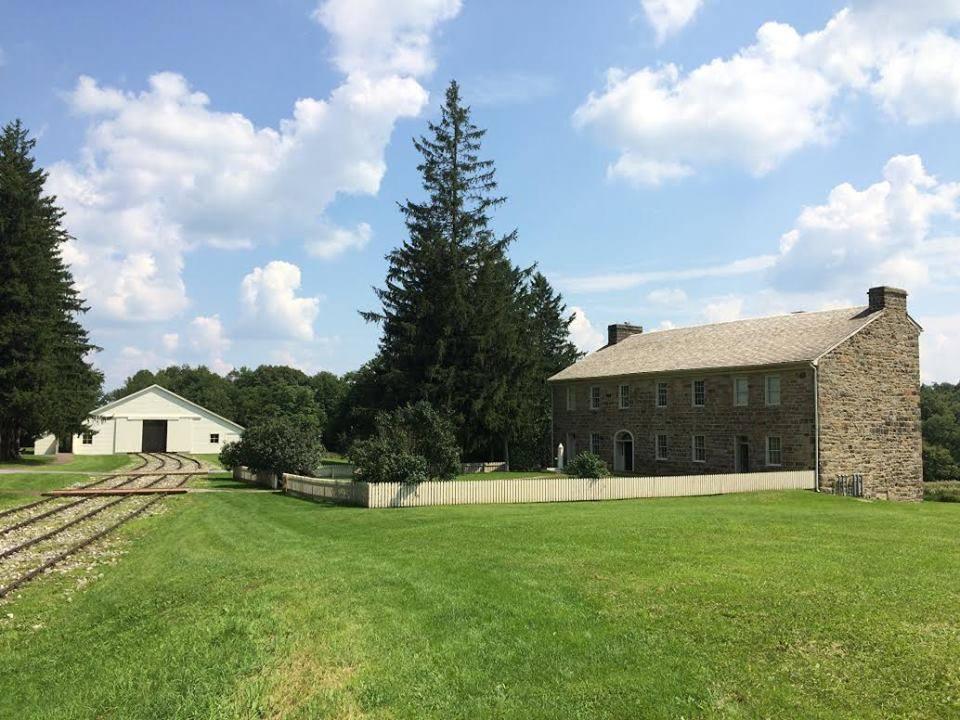
This site traces the old 36-mile rail route used to haul canal boats over the Allegheny Front. You can walk the remnants of the tracks that once bridged the gap between the Ohio and Susquehanna rivers.
Updated
Charging at a glance
- Closest listed charger: 3.7 km (L2)
- Closest listed DC fast charger: 13.1 km
- Networks listed: Tesla (Tesla-only charging)
From the Open Charge Map listings under Charging nearby.
Quick Facts
Notable for: the first railroad to cross the Allegheny Mountains
Founded: 1834
Camping and fees
- Entry fee
- : freeSource: www.nps.gov
- Camping
- : prohibitedSource: npshistory.com
Charging nearby
Charging data from Open Charge Map
- L23.7 km
FCI Loretto
View on Open Charge MapL18.4 kmStuckey Ford Commercial Vehicle Center
View on Open Charge MapDC Fast13.1 kmThe Giant Company 221 Glimcher Dr
View on Open Charge MapL213.9 kmPresbyterian Village at Hollidaysburg
View on Open Charge MapL214.9 km
Worth the detour?
No verdicts yet - be the first who's been there.
Sign in to leave a verdictAttribution
- American Society of Civil Engineers
- npshistory.com
- nps.gov
- nps.gov
- NPS - National Park Service
- National Park Service - National Park Service, U.S. Department of the Interior
- Recreation.gov (RIDB) - Recreation Information Database (RIDB)
- Wikidata - Wikidata / Wikimedia Commons
- Wikipedia - Wikipedia (CC BY-SA)

 State Park