

About
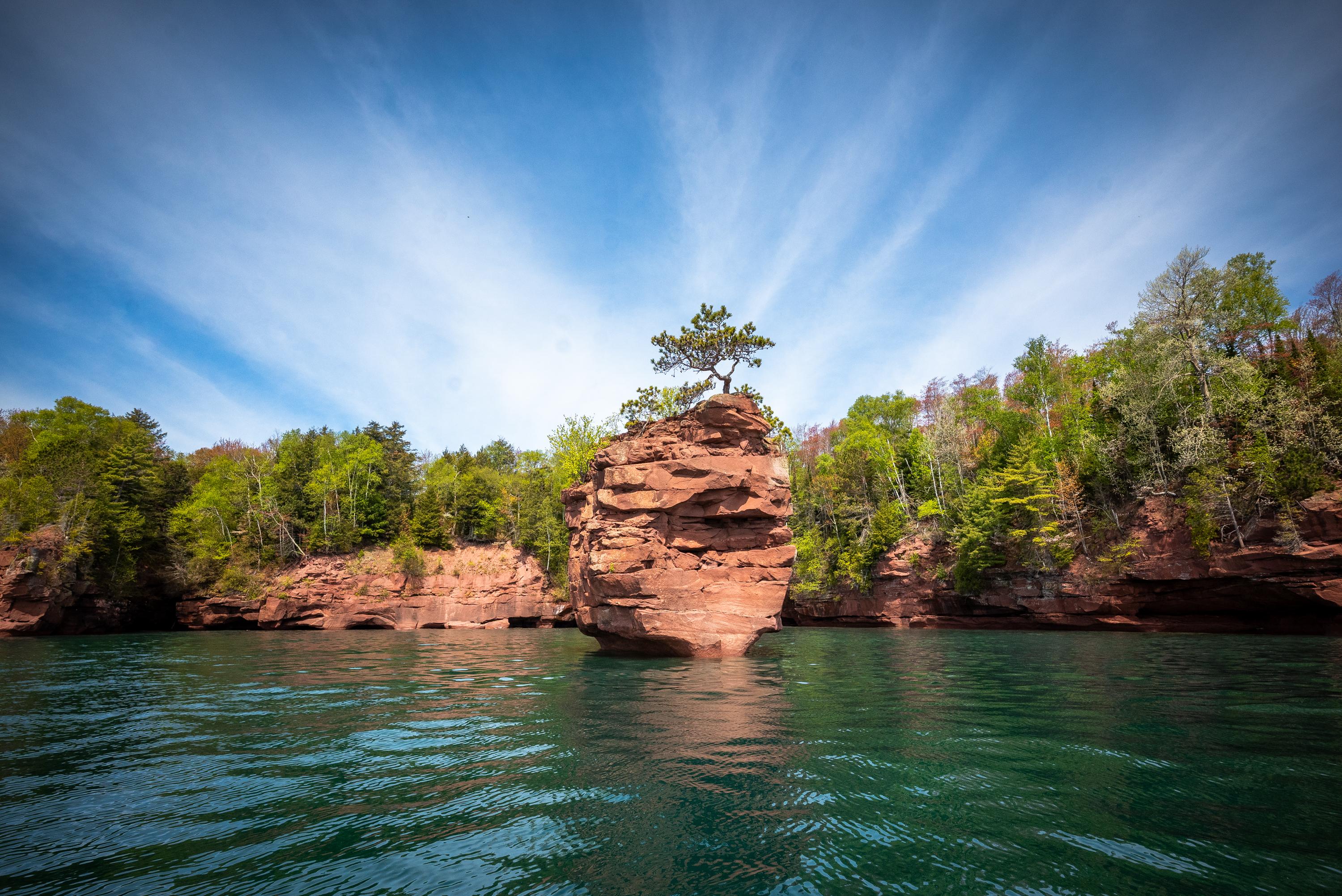
You can spend your days kayaking through sea caves or hiking the sandy stretches of the Bayfield Peninsula. This stretch of Lake Superior is home to twenty-one islands and the largest collection of lighthouses in the country.
Updated
Charging at a glance
- Closest listed charger: 17.3 km (L1)
From the Open Charge Map listings under Charging nearby.
Quick Facts
Notable for: picturesque sea caves, sandy beaches, and the largest collection of lighthouses in the National Park system
Founded: 1970
Camping and fees
- Entry fee
- : No entrance feeSource: www.nps.gov
Activities
- Camping
Source: www.nps.gov
Charging nearby
Charging data from Open Charge Map
NPS MWRO: APIS Roy's Point Marina
View on Open Charge MapL117.3 kmWILDRICE STATION 1
View on Open Charge MapL223.0 km34480 Port Superior Rd
View on Open Charge MapL224.1 km
Worth the detour?
No verdicts yet - be the first who's been there.
Sign in to leave a verdictAttribution
- nps.gov
- nps.gov
- nps.gov
- NPS - National Park Service
- National Park Service - National Park Service, U.S. Department of the Interior
- Recreation.gov (RIDB) - Recreation Information Database (RIDB)
- Wikidata - Wikidata / Wikimedia Commons
- Wikipedia - Wikipedia (CC BY-SA)