

About
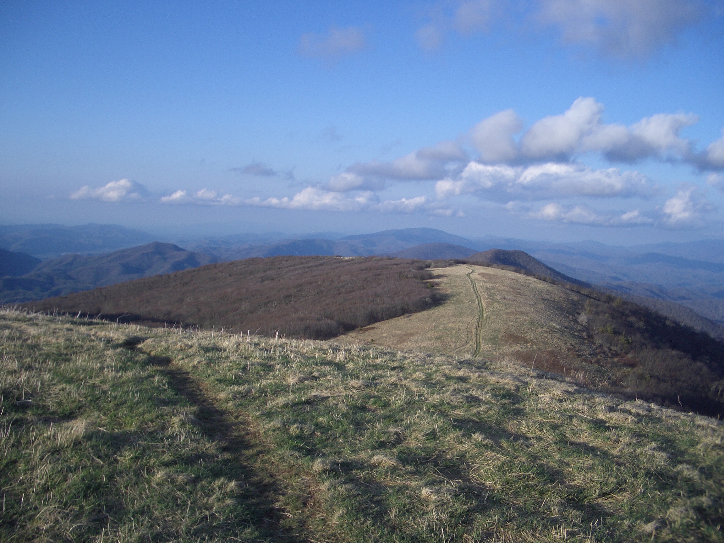
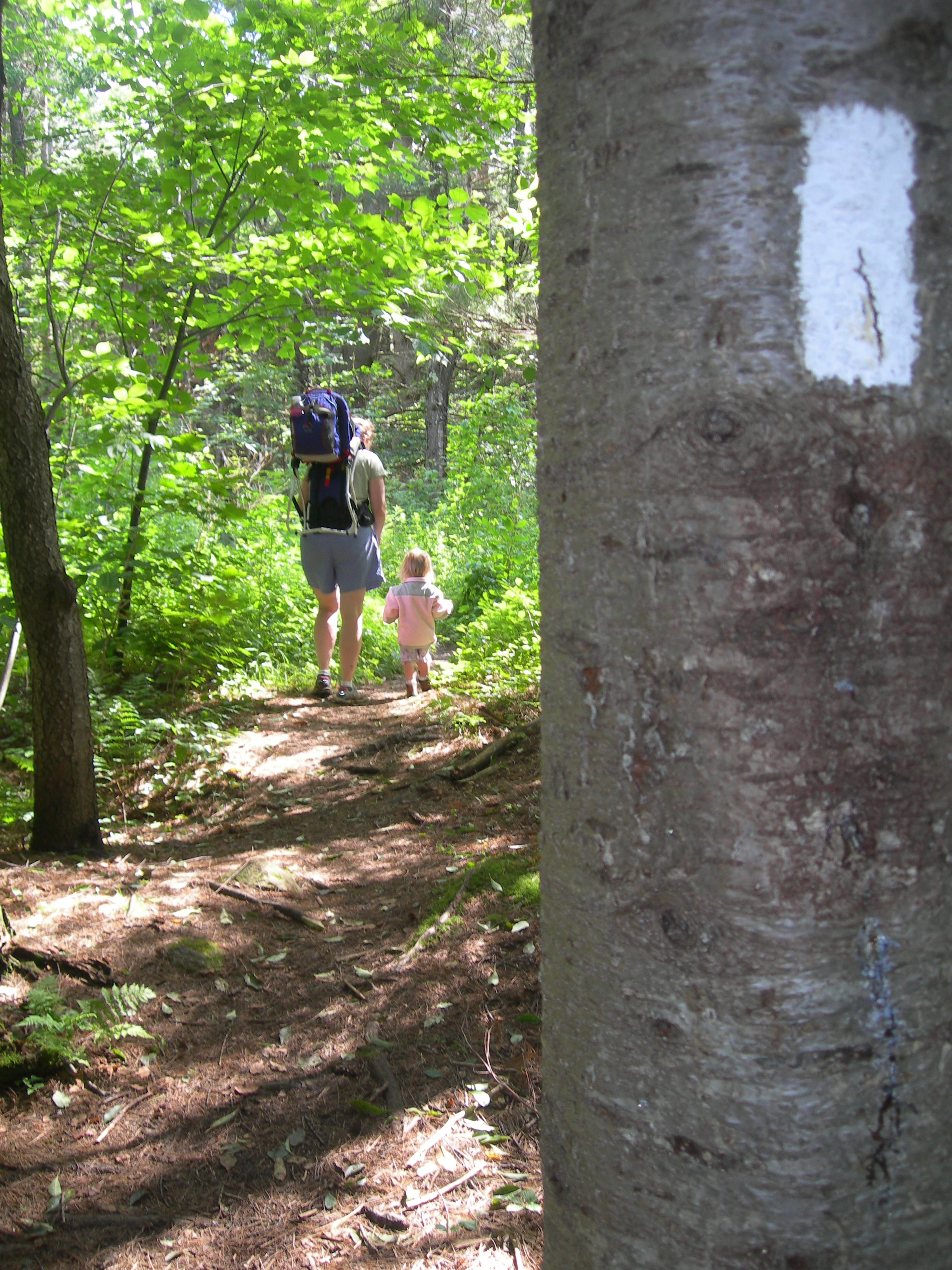
Dense forests and rolling mountain ridges define this long stretch of footpath through Pennsylvania. You can spend days trekking through old-growth woods and crossing quiet pastoral valleys.
Updated
Charging at a glance
- Closest listed charger: 8.0 km (L2)
- Closest listed DC fast charger: 8.0 km
From the Open Charge Map listings under Charging nearby.
Quick Facts
Notable for: a 2,190+ mile long public footpath that traverses the scenic, wooded, pastoral, wild, and culturally resonant lands of the Appalachian Mountains
Founded: 1921
Camping and fees
- Entry fee
- : no entrance fee or permits required to walk on the trailSource: www.nps.gov
Charging nearby
Charging data from Open Charge Map
The Promenade At Lebanon East Shopping Center
View on Open Charge MapL28.0 kmBENNETT HYUNDAI SALES
View on Open Charge MapDC Fast8.0 kmMaguire's Nissan - Lebanon
View on Open Charge MapL28.0 kmBUICK GMC DC 1
View on Open Charge MapDC Fast8.1 km
Worth the detour?
No verdicts yet - be the first who's been there.
Sign in to leave a verdictAttribution
- Appalachian Trail Conservancy
- nps.gov
- NPS - National Park Service
- National Park Service - National Park Service, U.S. Department of the Interior
- Recreation.gov (RIDB) - Recreation Information Database (RIDB)
- Wikidata - Wikidata / Wikimedia Commons
- Wikipedia - Wikipedia (CC BY-SA)

 State Park