

About
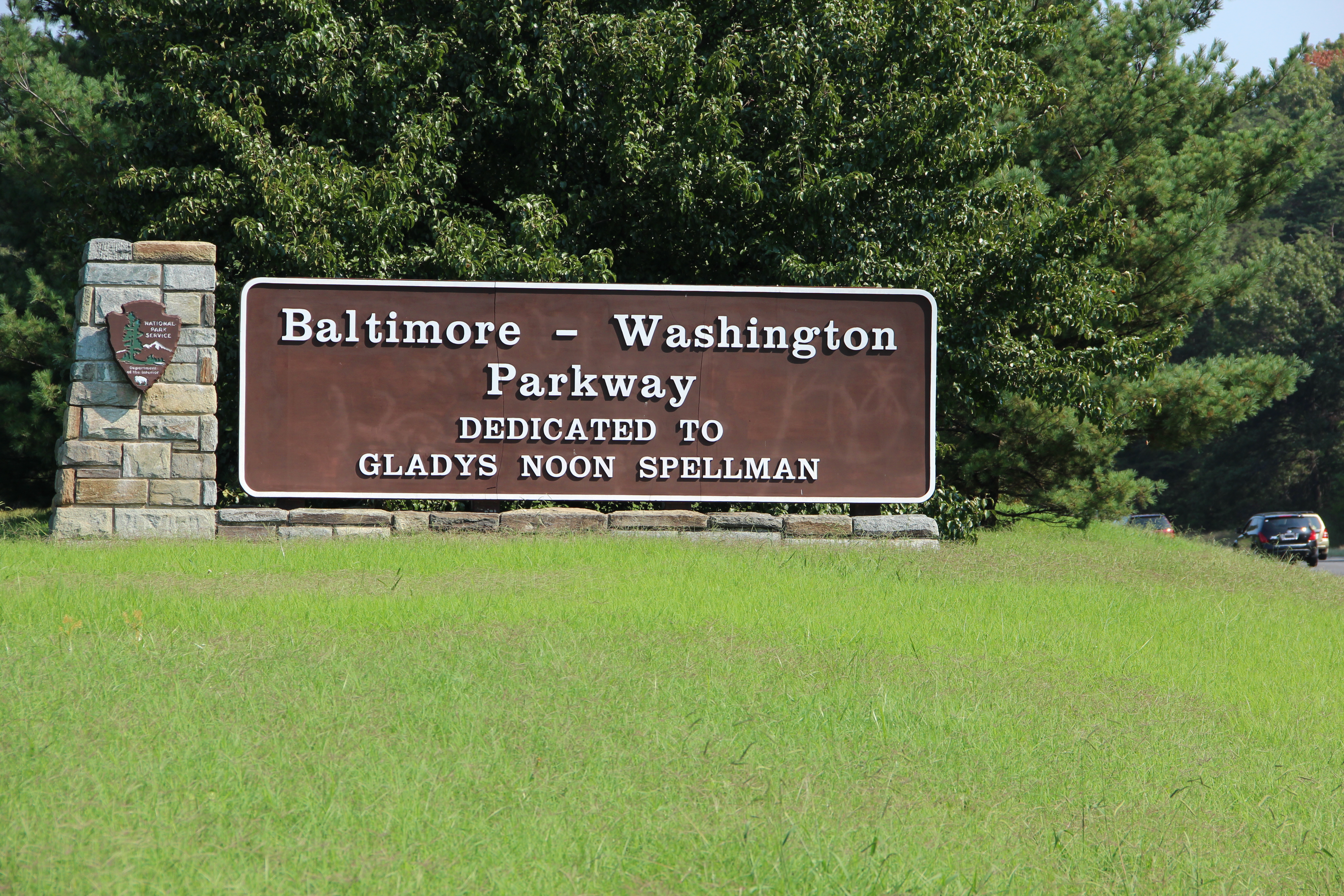
This 29-mile stretch of highway cuts through thick woodlands to link Baltimore and Washington, D.C. It is a steady, tree-lined drive that keeps you away from the heavy interstate traffic while you move between the two cities.
Updated
Charging at a glance
- Closest listed charger: 1.2 km (L2)
- Closest listed DC fast charger: 3.5 km
From the Open Charge Map listings under Charging nearby.
Quick Facts
Notable for: 29-mile highway connects Baltimore, MD and Washington, D.C.
Founded: 1954
Camping and fees
- Entry fee
- : no fees, tolls, or reservationsSource: www.nps.gov
Charging nearby
Charging data from Open Charge Map
USSS RTC BEAM ARC
View on Open Charge MapL21.2 kmUSDA - ARS - BELTSVILLE
View on Open Charge MapL21.8 kmOFFICE OF OP STATION1
View on Open Charge MapL22.0 kmGoddard Space Flight Center
View on Open Charge MapL23.2 kmRoosevelt Center - Municipal Building
View on Open Charge MapDC Fast3.5 km
Worth the detour?
No verdicts yet - be the first who's been there.
Sign in to leave a verdictAttribution
- nps.gov
- nps.gov
- NPS - National Park Service
- National Park Service - National Park Service, U.S. Department of the Interior
- Recreation.gov (RIDB) - Recreation Information Database (RIDB)
- Wikidata - Wikidata / Wikimedia Commons
- Wikipedia - Wikipedia (CC BY-SA)