

About
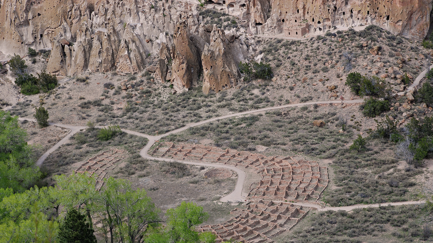
You will find ancient Ancestral Puebloan cliff dwellings and petroglyphs carved directly into the soft volcanic tuff. It is a great spot to hike through canyon terrain and climb ladders into the historic masonry homes.
Updated
Charging at a glance
- Closest listed charger: 7.3 km (L2)
From the Open Charge Map listings under Charging nearby.
Quick Facts
Notable for: Ancestral Pueblo archeological sites, a diverse and scenic landscape, and the country's largest National Park Service Civilian Conservation Corps National Landmark District
Founded: February 11, 1916
Elevation: from about 5,000 feet (1,500 m) along the Rio Grande to over 10,000 feet (3,000 m) at the peak of Cerro Grande
Camping and fees
- Entry fee
- : Valid entrance passes are requiredSource: www.nps.gov
Seasons
- Campground season (March to November)Camping Loop C (Coyote Loop) is closed seasonally on November 1 and reopens March 1.Source: www.nps.gov
Activities
- Hiking
Source: www.nps.gov
Charging nearby
Charging data from Open Charge Map
LANL / BEAM 600
View on Open Charge MapL27.3 kmLANL / BEAM 589
View on Open Charge MapL27.7 kmLANL / BEAM 603
View on Open Charge MapL27.8 kmLANL / BEAM 612
View on Open Charge MapL28.6 kmLANL / BEAM 598
View on Open Charge MapL29.4 km
Worth the detour?
No verdicts yet - be the first who's been there.
Sign in to leave a verdictAttribution
- nps.gov
- nps.gov
- nps.gov
- nps.gov
- NPS - National Park Service
- National Park Service - National Park Service, U.S. Department of the Interior
- Recreation.gov (RIDB) - Recreation Information Database (RIDB)
- Wikidata - Wikidata / Wikimedia Commons
- Wikipedia - Wikipedia (CC BY-SA)

 City / Town