About
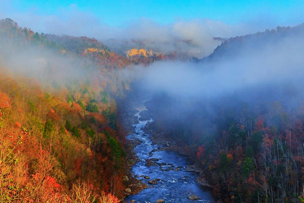
This stretch of the Cumberland Plateau features deep sandstone gorges and a fast-moving river perfect for paddling. You can spend your days hiking through dense woods or scrambling along the bluff edges to find the best river views.
Updated
Charging at a glance
- Closest listed charger: 7.2 km (L2)
From the Open Charge Map listings under Charging nearby.
Quick Facts
Notable for: protects the free-flowing Big South Fork of the Cumberland River and its tributaries
Founded: 1974
Events
- Spring Planting and Music FestivalAnnualSource: www.laurelfork.com
Charging nearby
Charging data from Open Charge Map
Big South Fork National River and Recreation Area
View on Open Charge MapL27.2 kmPogue Creek Canyon State Natural Area - Astronomy Field
View on Open Charge MapL213.7 kmTOWN OF ONEIDA ONEIDA CITY HAL
View on Open Charge MapL214.5 km
Worth the detour?
No verdicts yet - be the first who's been there.
Sign in to leave a verdictAttribution
- laurelfork.com
- nps.gov
- npshistory.com
- NPS - National Park Service
- National Park Service - National Park Service, U.S. Department of the Interior
- Recreation.gov (RIDB) - Recreation Information Database (RIDB)
- Wikidata - Wikidata / Wikimedia Commons