About
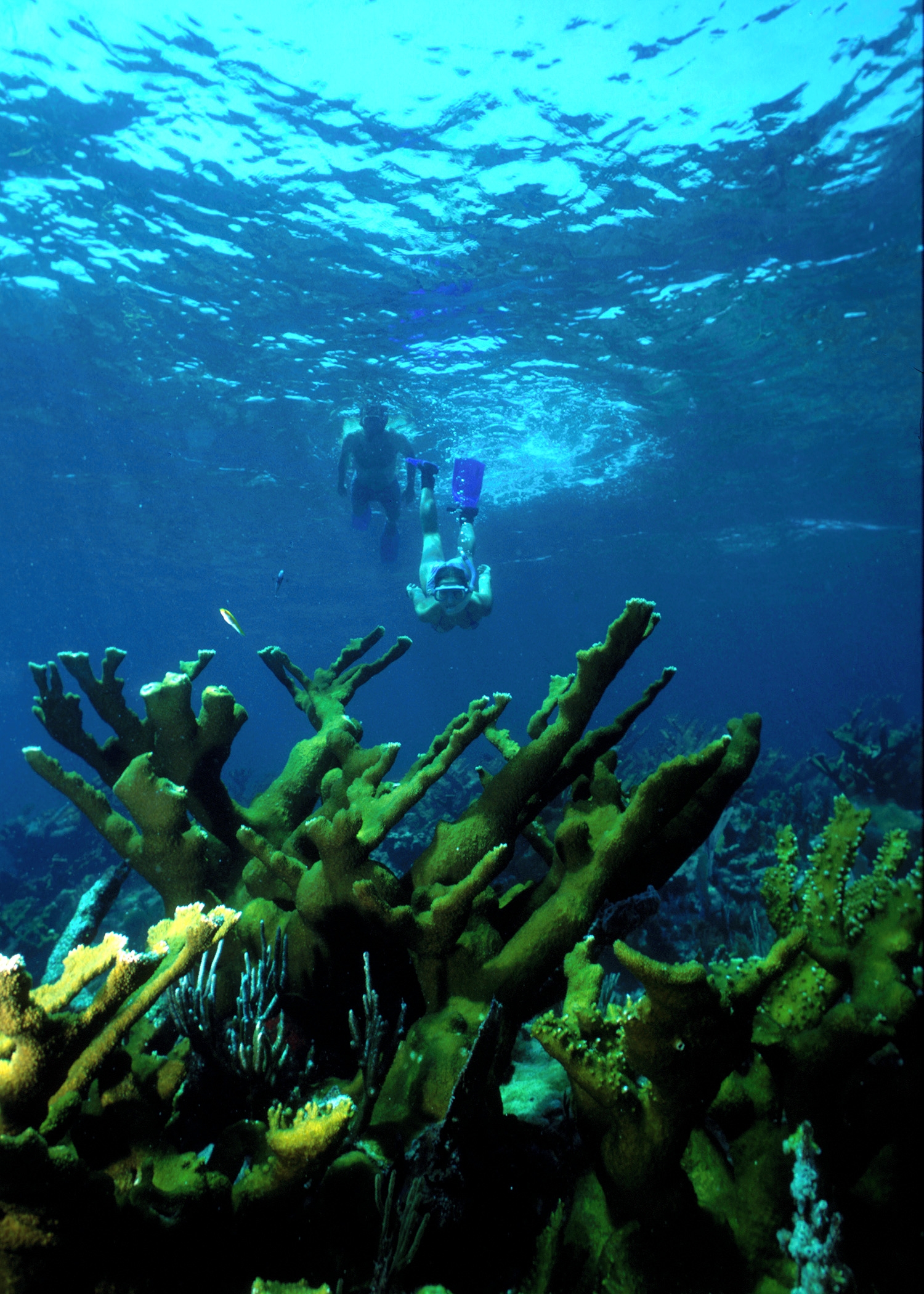
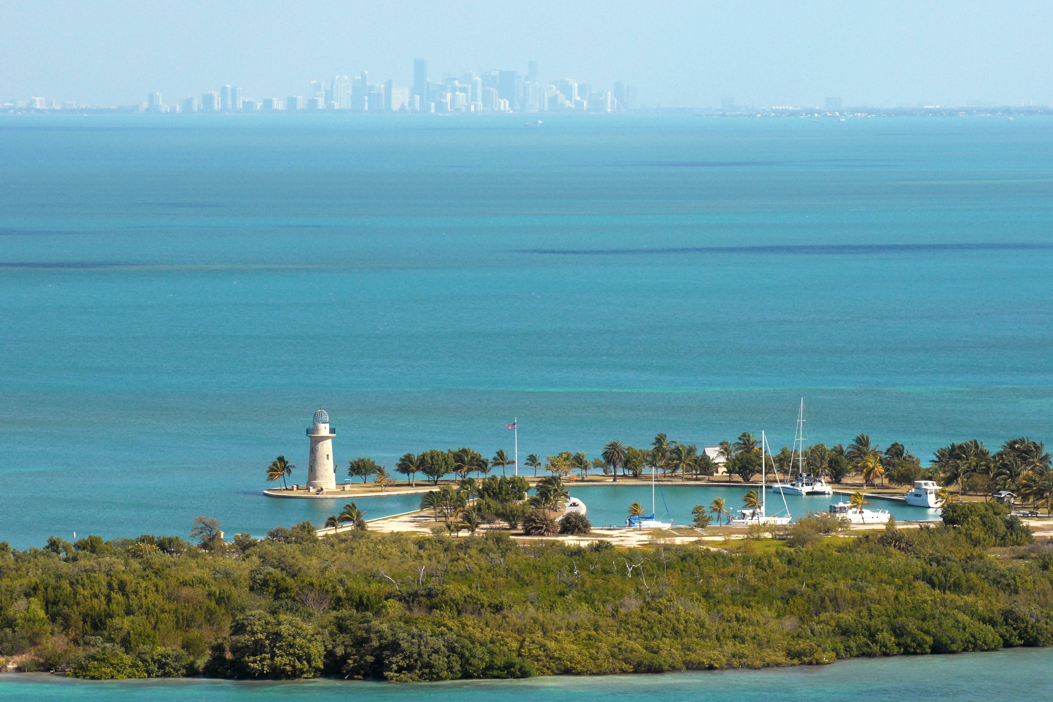
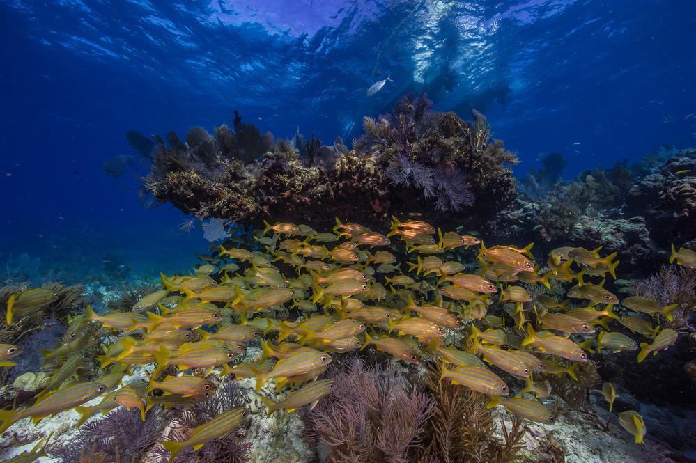
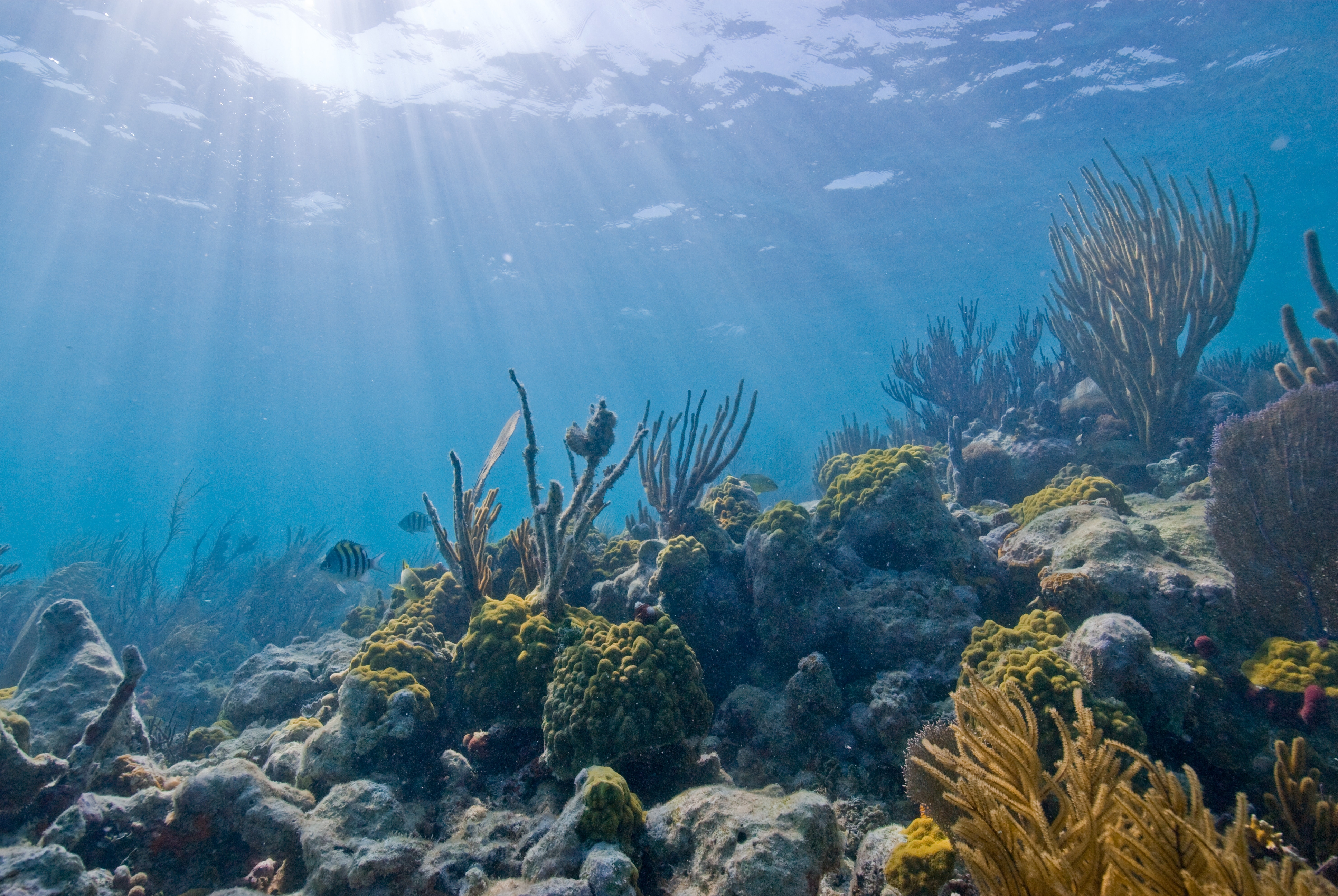
This park is mostly water, consisting of massive mangrove forests, coral reefs, and a few low-lying islands like Elliott Key. You'll want to bring a boat or kayak if you're heading out to dive the reefs or scout the old shipwrecks scattered across the bay.
Updated
Charging at a glance
- Closest listed charger: 12.8 km (L2)
From the Open Charge Map listings under Charging nearby.
Quick Facts
Notable for: aquamarine waters, emerald islands, and fish-bejeweled coral reefs
Camping and fees
- Entry fee
- : no entrance feesSource: www.nps.gov
- Reservations
- : no advance reservations accepted for campgroundsSource: www.nps.gov
- Camping
- : no backcountry camping in the parkSource: www.nps.gov
Charging nearby
Charging data from Open Charge Map
SERO: BISC HQ
View on Open Charge MapL212.8 kmBiscayne National Park
View on Open Charge MapL213.0 kmFlorida Power & Light - Turkey Point Plant
View on Open Charge MapL214.8 kmCUTLER BAY CITY OF CUTLER
View on Open Charge MapL216.1 kmStudent Parking Lot
View on Open Charge MapL216.6 km
Camp and charge reports
No reports yet - be the first to share what you found.
Sign in to add a reportWorth the detour?
No verdicts yet - be the first who's been there.
Sign in to leave a verdictAttribution
- nps.gov
- nps.gov
- NPS - National Park Service
- National Park Service - National Park Service, U.S. Department of the Interior
- Recreation.gov (RIDB) - Recreation Information Database (RIDB)
- Wikidata - Wikidata / Wikimedia Commons
- Wikipedia - Wikipedia (CC BY-SA)