About
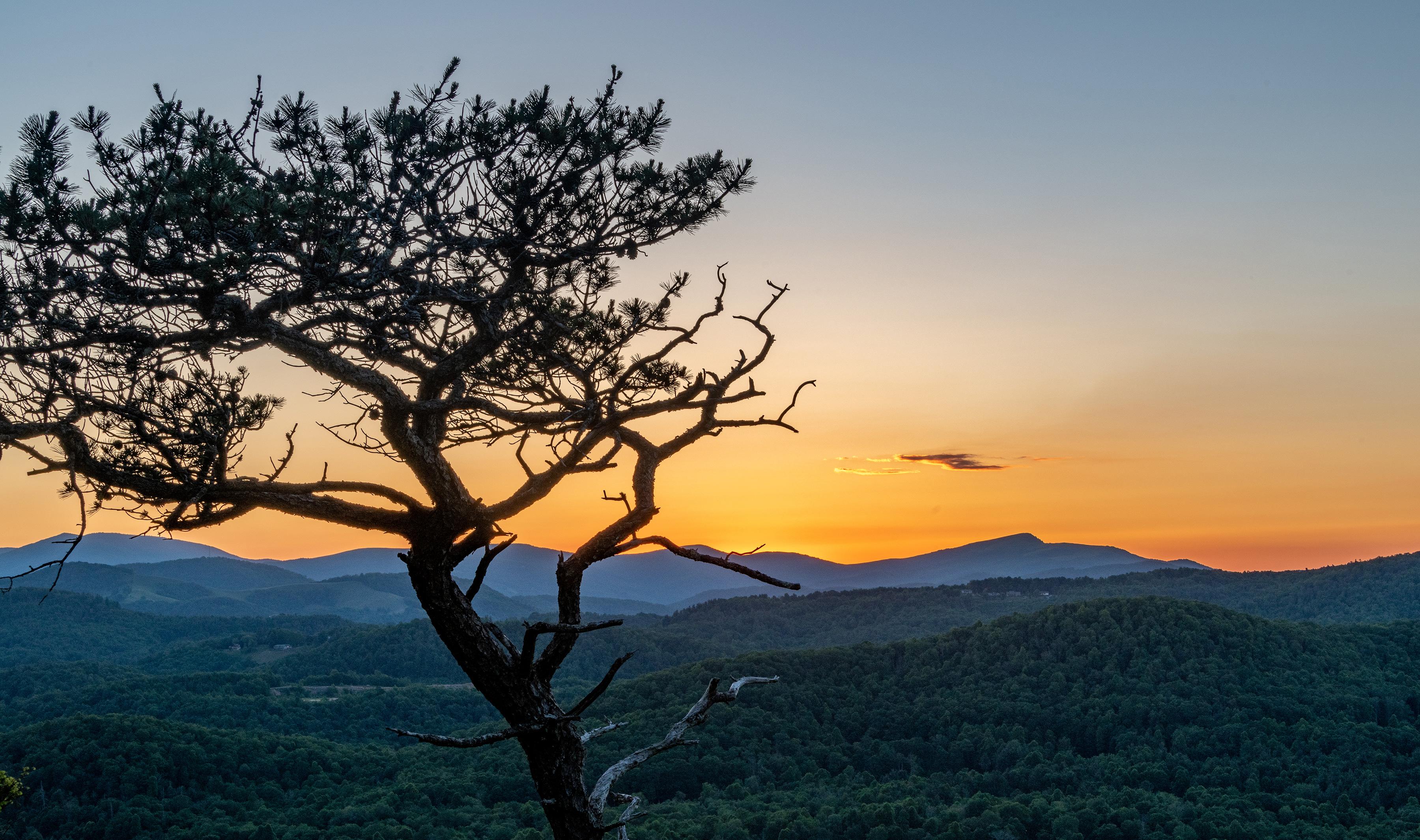
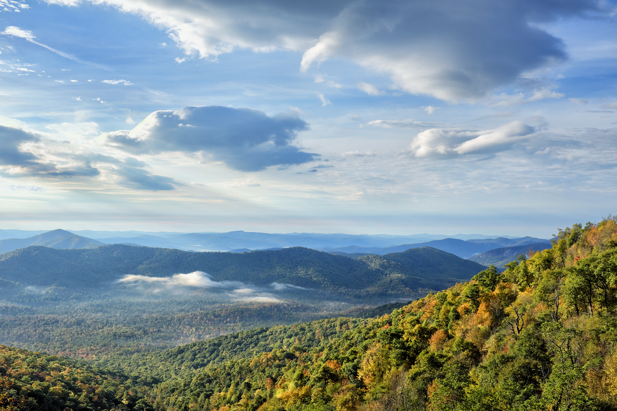
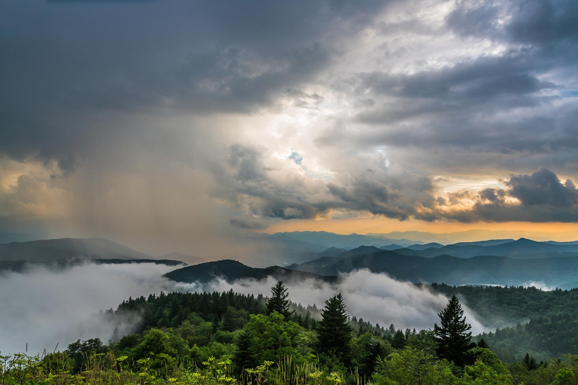
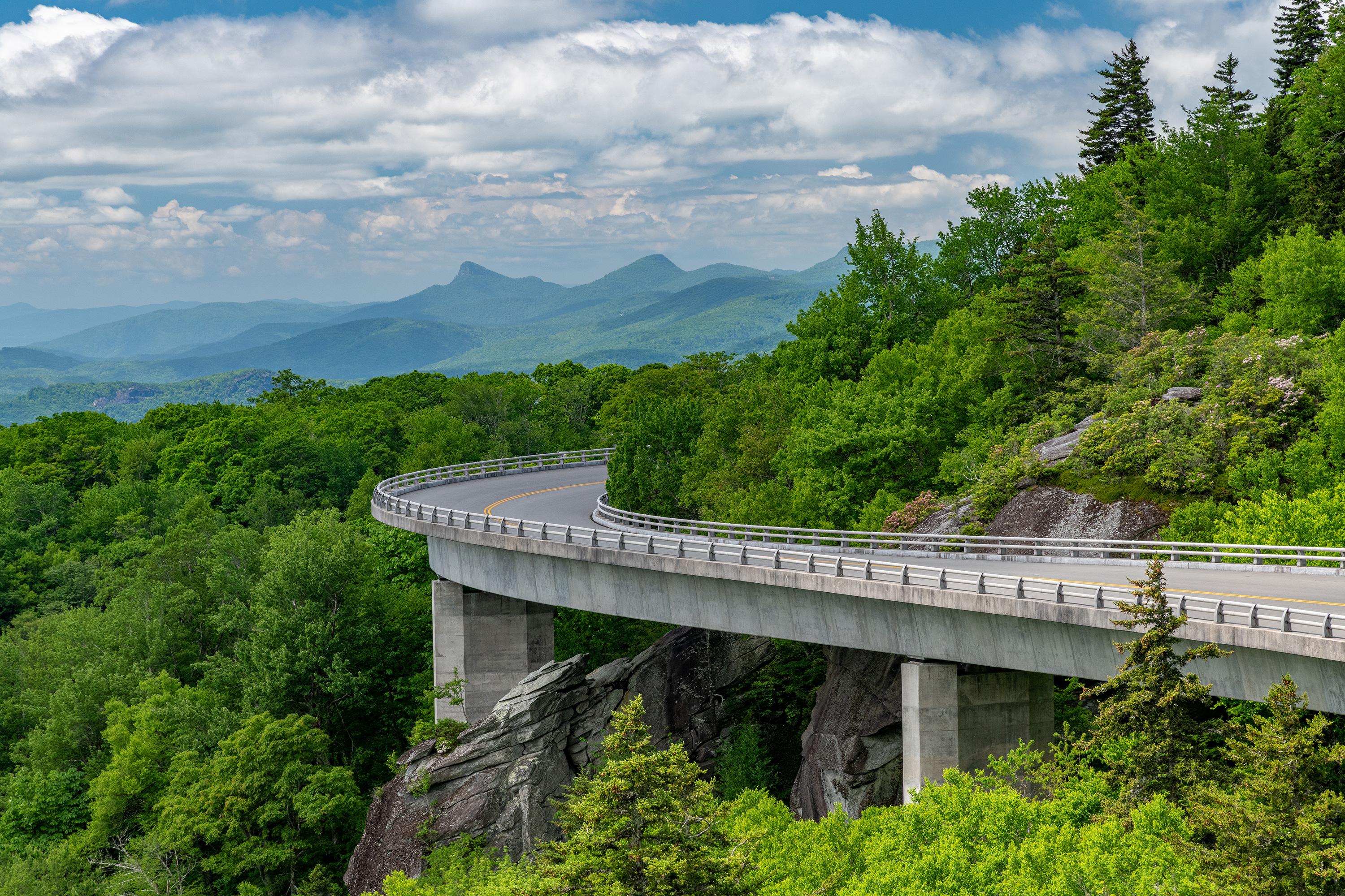
The Blue Ridge Parkway winds 469 miles through the Appalachian Highlands, linking Shenandoah National Park to Great Smoky Mountains. The slow-paced drive reveals long-range mountain vistas and pastoral landscapes protecting a rich diversity of plants and animals.
Updated
Charging at a glance
- Closest listed charger: 2.2 km (L2)
From the Open Charge Map listings under Charging nearby.
Quick Facts
Notable for: the longest linear park in the U.S.
Founded: June 30, 1936
Elevation: 6,053 feet (1,845 m)
Camping and fees
- Reservations
- : No permit is required for hikingSource: www.heysmokies.com
Activities
- Hiking
Source: www.heysmokies.com
Charging nearby
Charging data from Open Charge Map
Verde Vista
View on Open Charge MapL22.2 kmVerde Vista Apartments
View on Open Charge MapL22.2 kmEast Asheville Public Library
View on Open Charge MapL22.9 kmHoliday Inn Asheville East
View on Open Charge MapL23.1 km
Worth the detour?
No verdicts yet - be the first who's been there.
Sign in to leave a verdictAttribution
- heysmokies.com
- NPS - National Park Service
- National Park Service - National Park Service, U.S. Department of the Interior
- Recreation.gov (RIDB) - Recreation Information Database (RIDB)
- Wikidata - Wikidata / Wikimedia Commons
- Wikipedia - Wikipedia (CC BY-SA)