

About
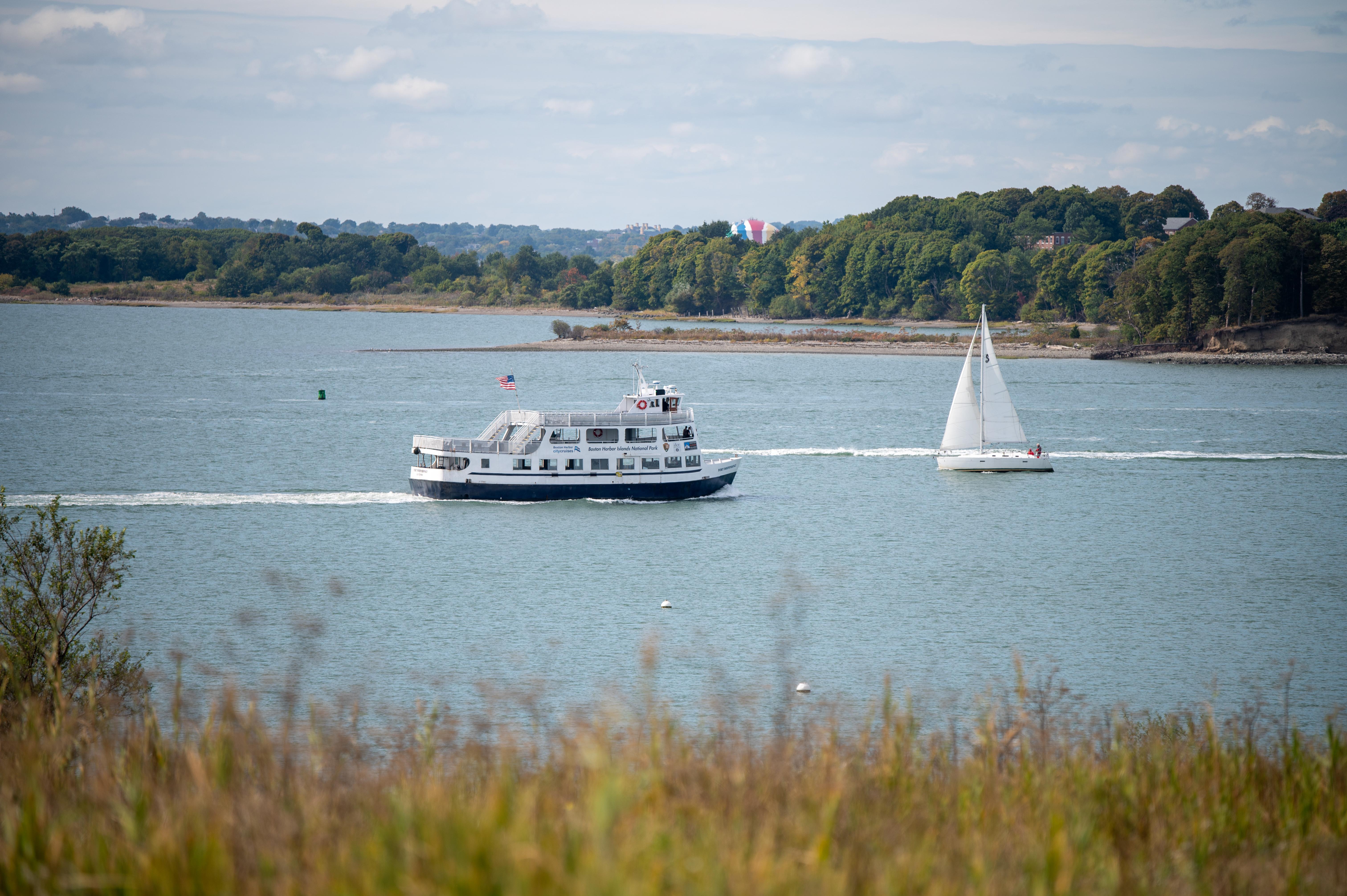
You can hop on a ferry from downtown Boston to reach 34 islands filled with Civil War-era forts and old lighthouses. It is a great spot to spend a day hiking through salt marshes, checking out tide pools, or setting up a camp for the night.
Updated
Charging at a glance
- Closest listed charger: 5.8 km (L2)
- Closest listed DC fast charger: 7.2 km
From the Open Charge Map listings under Charging nearby.
Quick Facts
Notable for: walk a Civil War-era fort, view historic lighthouses, explore tide pools, hike lush trails, camp under the stars, or relax while fishing, picnicking, or swimming
Founded: November 12, 1996
Charging nearby
Charging data from Open Charge Map
MWRA Deer Island
View on Open Charge MapL25.8 kmTHE LAUNCH THE LAUNCH
View on Open Charge MapL26.6 kmLynch Field - DCFC
View on Open Charge MapDC Fast7.2 kmQuirk Nissan
View on Open Charge MapDC Fast7.5 kmQUIRK FORD SERVICE
View on Open Charge MapL27.5 km
Worth the detour?
No verdicts yet - be the first who's been there.
Sign in to leave a verdictAttribution
- en.wikipedia.org
- NPS - National Park Service
- National Park Service - National Park Service, U.S. Department of the Interior
- Recreation.gov (RIDB) - Recreation Information Database (RIDB)
- Wikidata - Wikidata / Wikimedia Commons
- Wikipedia - Wikipedia (CC BY-SA)