

About
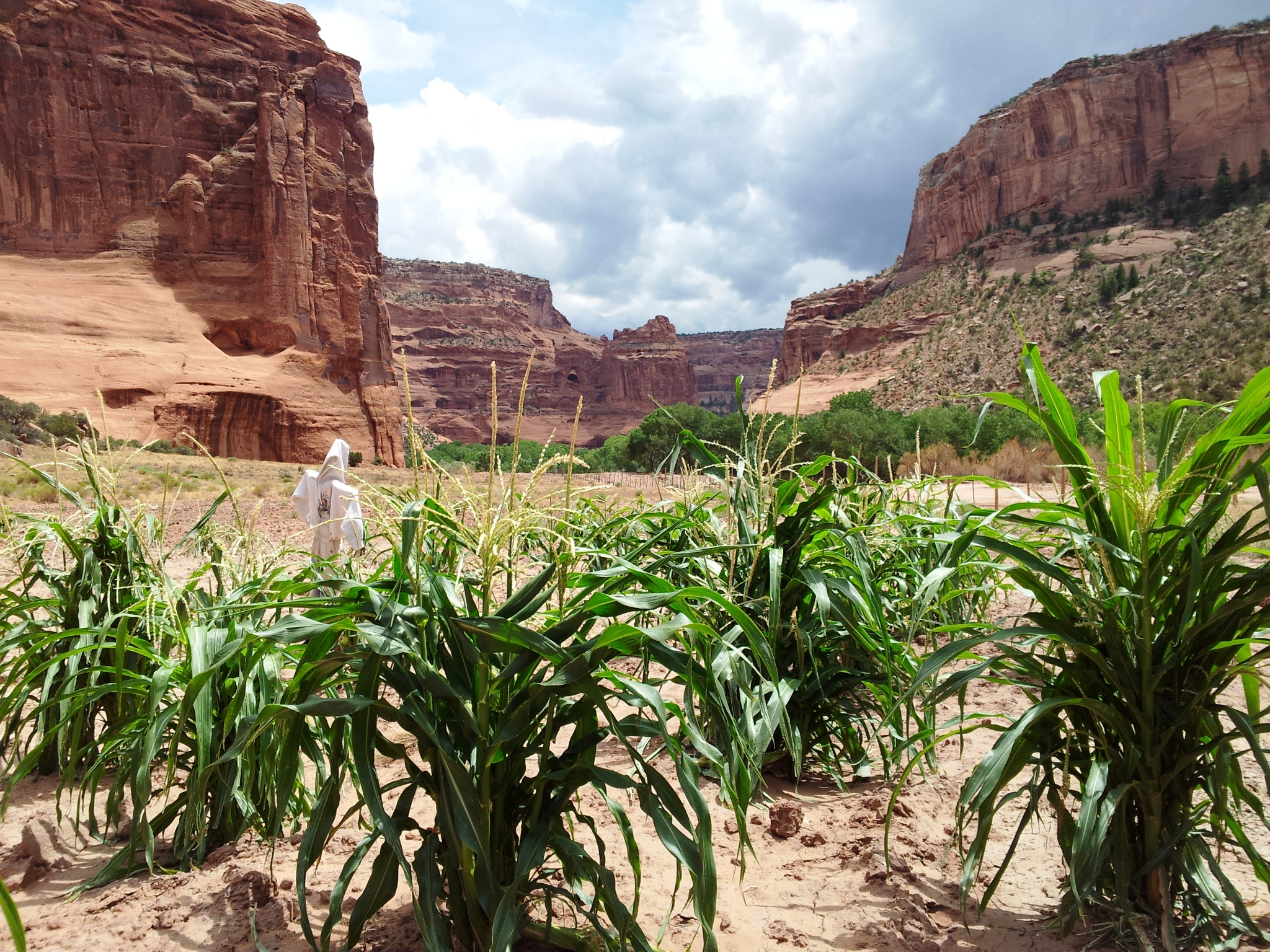
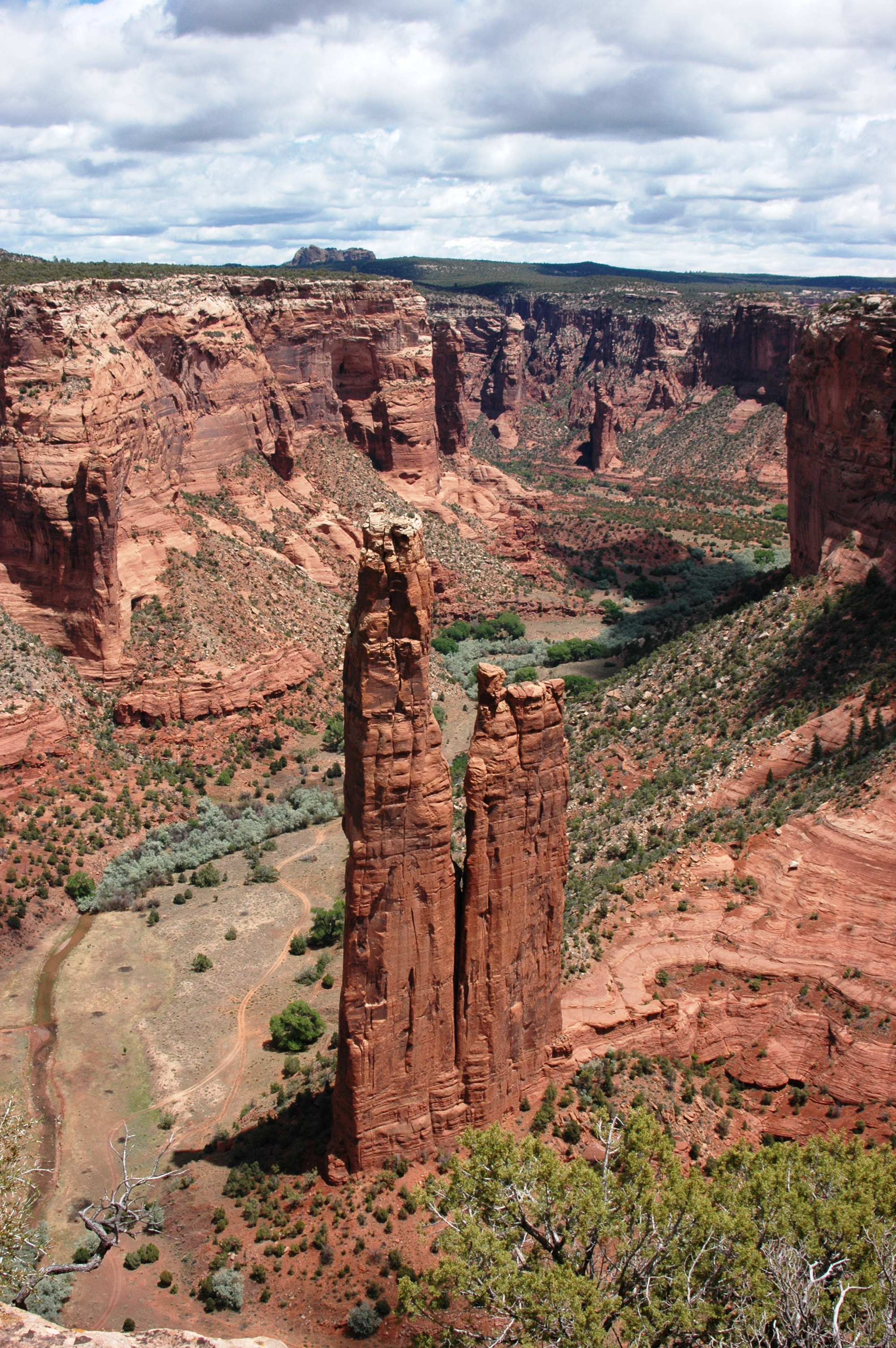
Deep sandstone canyon walls enclose three massive valleys where Navajo families still farm and raise livestock. You can drive right onto the canyon floor to see ancient ruins and active homesteads that have been inhabited for thousands of years.
Updated
Charging at a glance
- Closest listed charger: 23.2 km (L2)
From the Open Charge Map listings under Charging nearby.
Quick Facts
Notable for: one of the longest continuously inhabited landscapes of North America
Founded: April 1, 1931
Population: About 40 Navajo families
Camping and fees
- Camping
- : available at Cottonwood Campground first-come, first-serveSource: www.nps.gov
Seasons
- Season note (May to September)Ranger led activities, including hikes, are generally offered from Memorial Day through Labor Day.Source: www.nps.gov
Charging nearby
Charging data from Open Charge Map
FT DISTRICT STATION 2
View on Open Charge MapL223.2 km
Worth the detour?
No verdicts yet - be the first who's been there.
Sign in to leave a verdictAttribution
- nps.gov
- nps.gov
- NPS - National Park Service
- National Park Service - National Park Service, U.S. Department of the Interior
- Navajo Parks and Recreation
- Recreation.gov (RIDB) - Recreation Information Database (RIDB)
- Wikidata - Wikidata / Wikimedia Commons
- Wikipedia - Wikipedia (CC BY-SA)