About
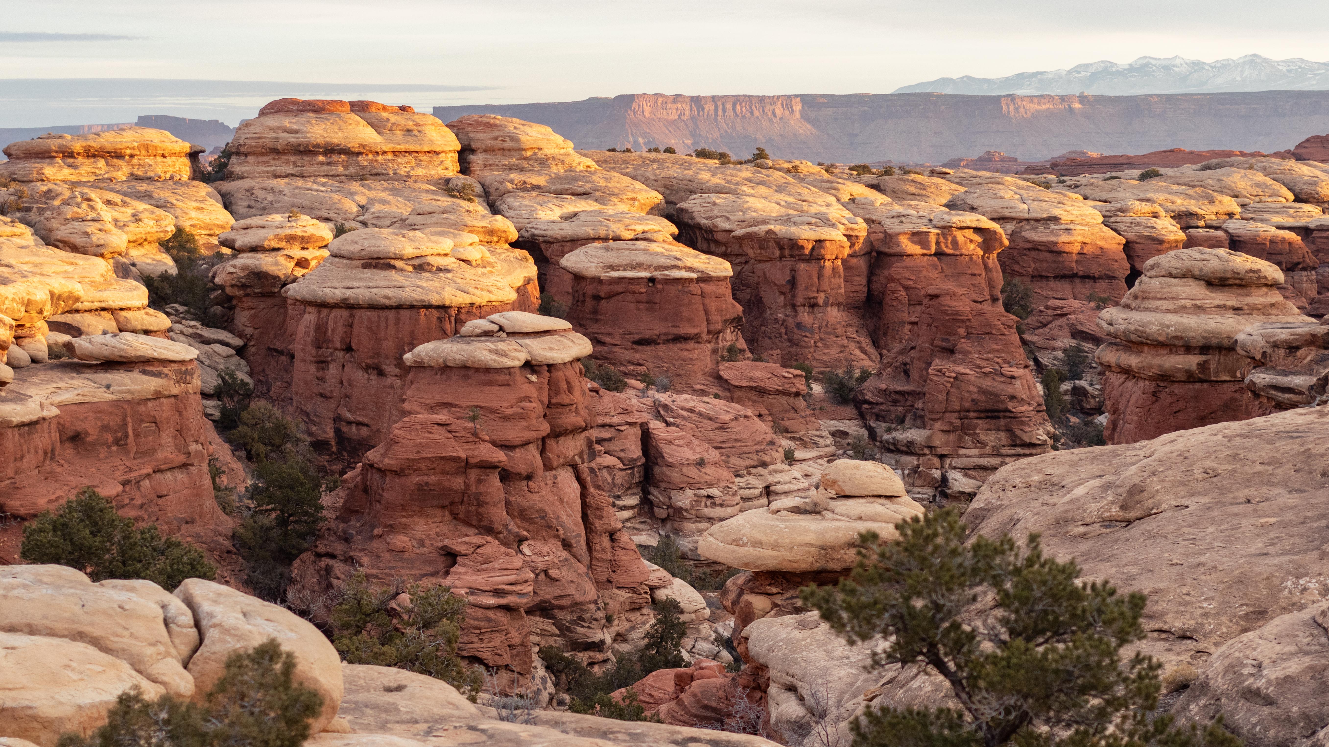
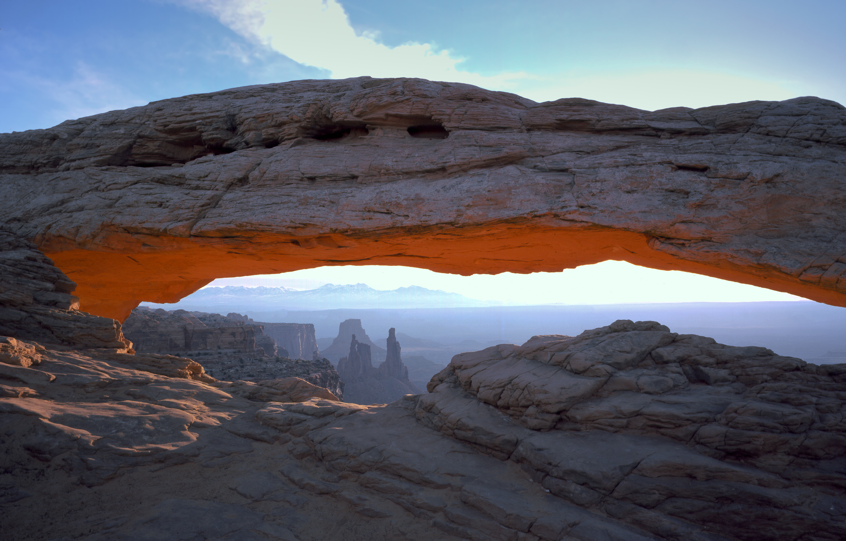
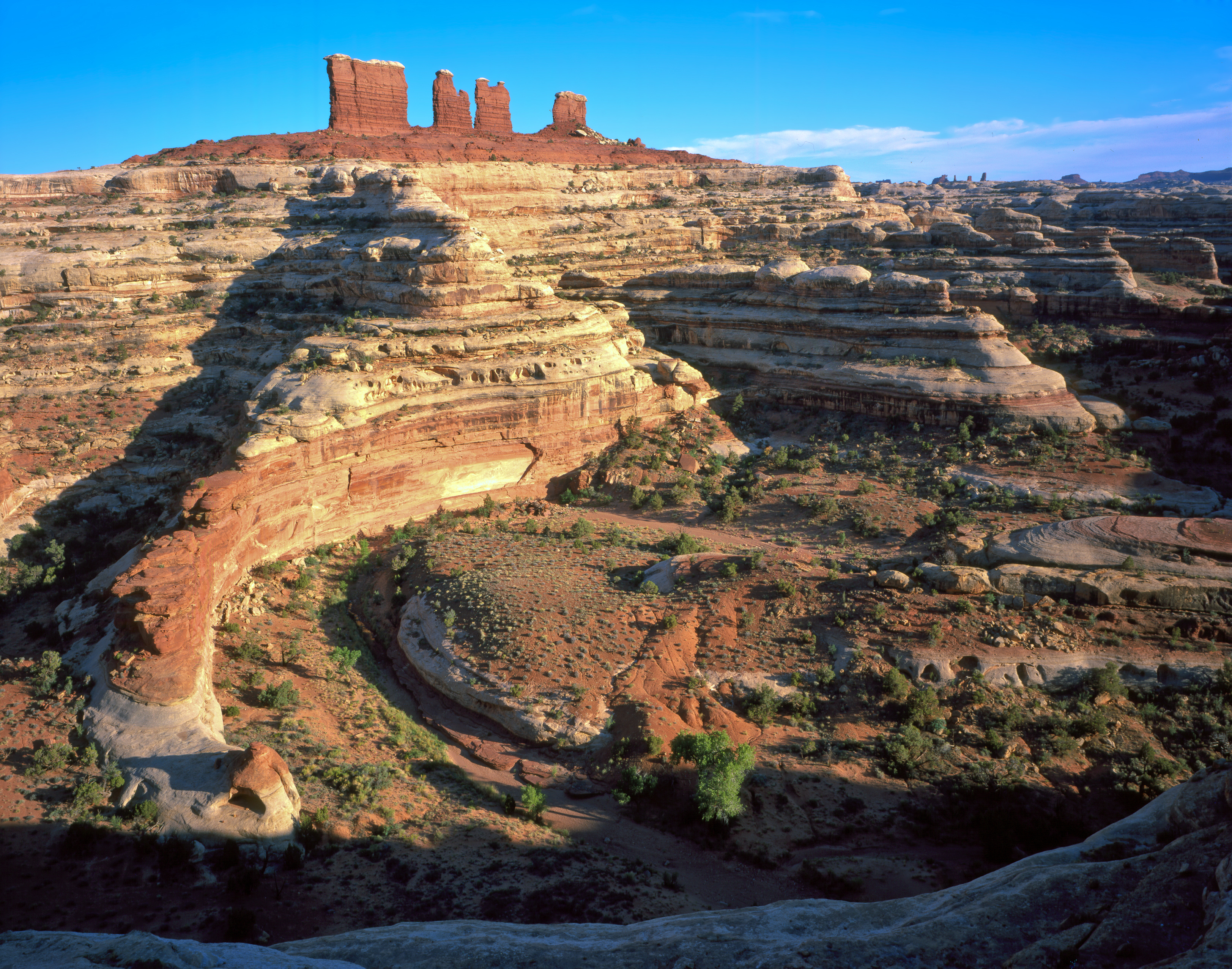
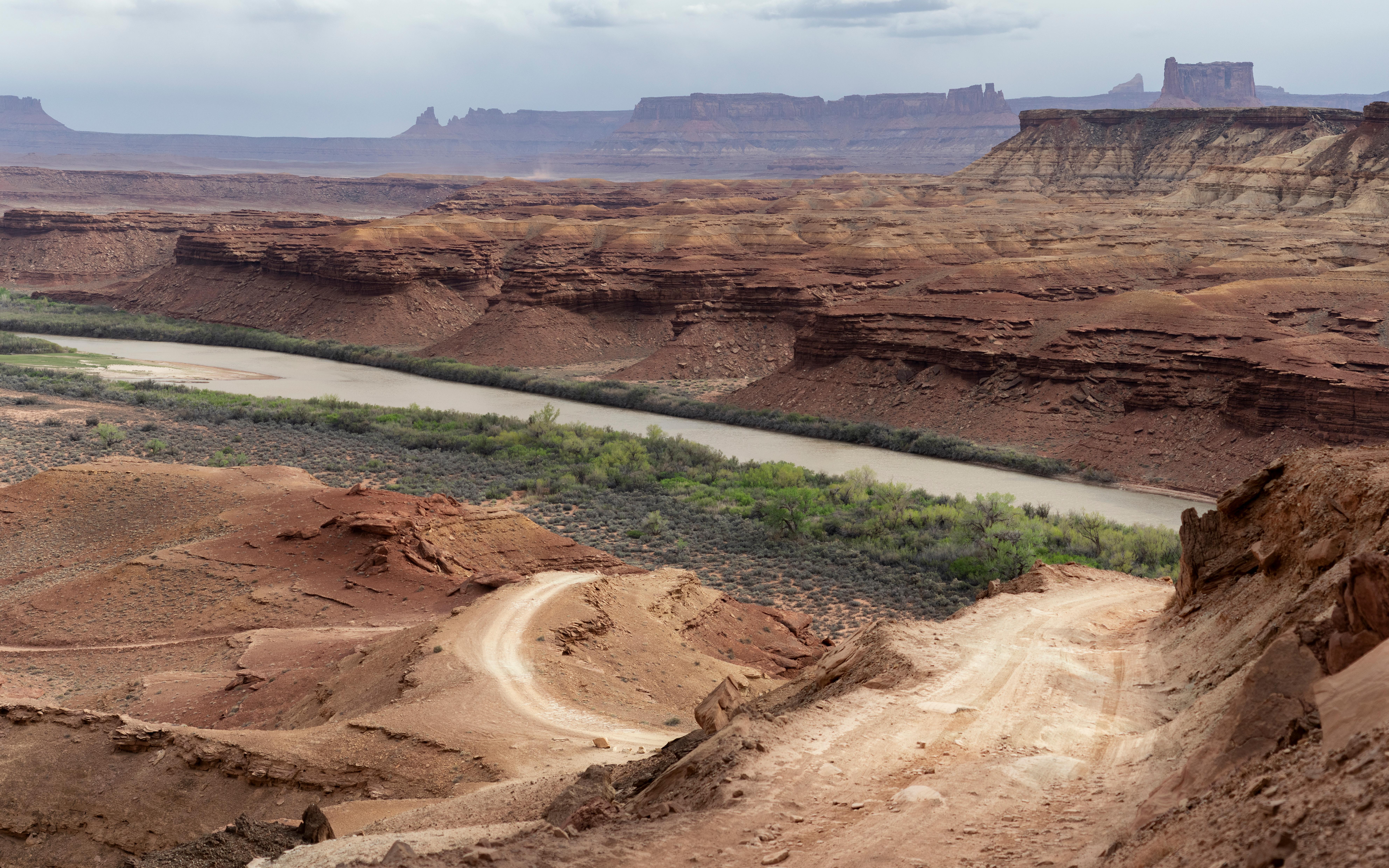
Red rock canyons, deep mesas, and sharp spires define this massive stretch of Utah desert carved by the Colorado and Green Rivers. You will need to plan your route carefully because the four distinct districts are separated by miles of open terrain with no connecting roads between them.
Updated
Quick Facts
Notable for: a wilderness of canyons, buttes, and spires carved by the Colorado River and Green River
Founded: September 12, 1964
Activities
- Hiking
Source: www.nps.gov
Camp and charge reports
No reports yet - be the first to share what you found.
Sign in to add a reportWorth the detour?
No verdicts yet - be the first who's been there.
Sign in to leave a verdictAttribution
- nps.gov
- nps.gov
- NPS - National Park Service
- National Park Service - National Park Service, U.S. Department of the Interior
- Recreation.gov (RIDB) - Recreation Information Database (RIDB)
- Wikidata - Wikidata / Wikimedia Commons
- Wikipedia - Wikipedia (CC BY-SA)
Trips featuring Canyonlands National Park
More in Utah

 City / Town
Alta
UT
Alta is a tiny mountain outpost centered around steep ski slopes and high-altitude terrain. It is a tight-knit spot for …

Brighton
UT
Big Cottonwood Canyon holds these steep, powder-heavy slopes that make Brighton a top choice for serious skiers. It is o…

Park City
UT
Park City sits in the Wasatch Back mountains about thirty miles southeast of Salt Lake City. You can swing by for the sk…

Snowbasin Resort
UT
Snowbasin sits on the east side of the Wasatch Range, offering steep terrain and deep powder just north of Salt Lake Cit…