About
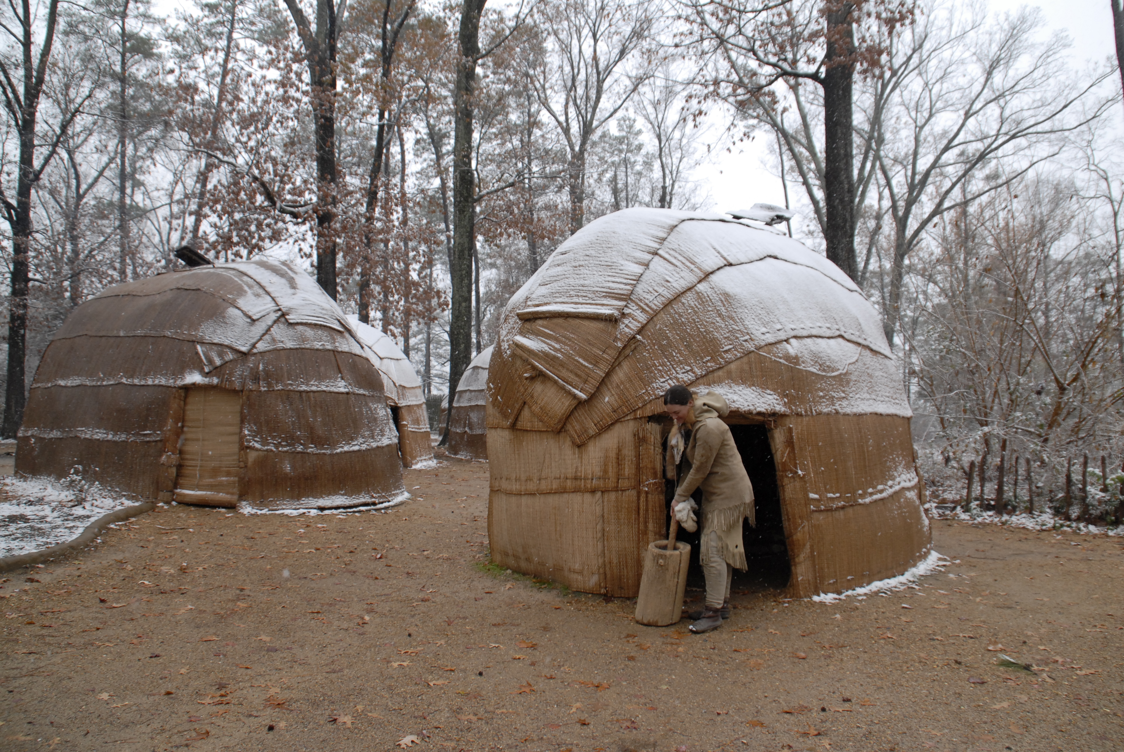
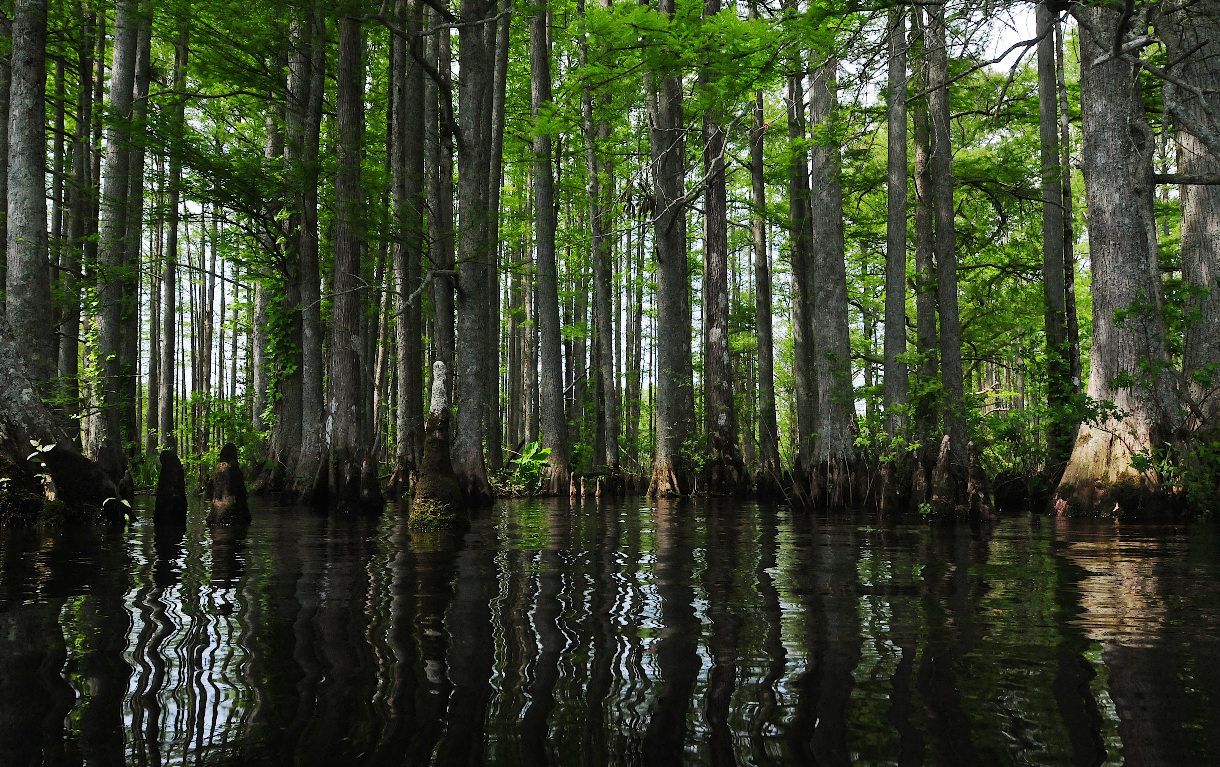
This trail follows the shoreline of the Chesapeake Bay, tracing the water routes where early American Indian communities and English explorers once moved. You can drive between archaeological sites and tribal lands that mark the history of these coastal waterways.
Updated
Charging at a glance
- Closest listed charger: 0.5 km (L2)
- Networks listed: Tesla (Tesla-only charging)
From the Open Charge Map listings under Charging nearby.
Quick Facts
Notable for: archeological treasures and sacred sites for tribal citizens
Founded: 2006
Camping and fees
- Entry fee
- : No entrance pass requiredSource: www.nps.gov
Activities
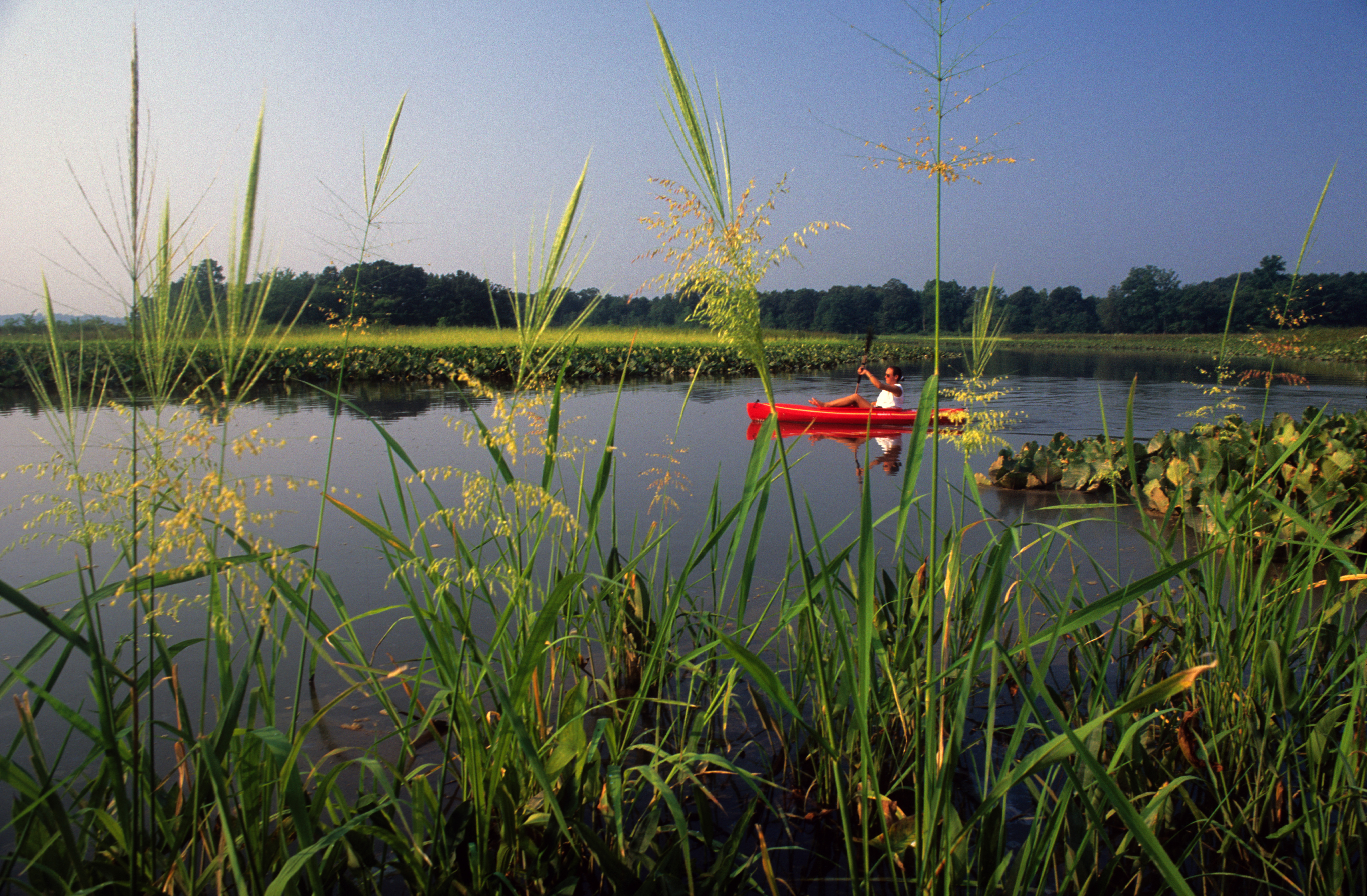
- Boating
- Paddling
Source: www.nps.gov
Charging nearby
Charging data from Open Charge Map
- L20.5 km
Siemens Maryland Home
View on Open Charge MapL20.6 kmHorn Point Marina
View on Open Charge MapL20.6 kmHorn Point Marina
View on Open Charge MapL20.6 km
Worth the detour?
No verdicts yet - be the first who's been there.
Sign in to leave a verdictAttribution
- Bureau of Land Management
- nps.gov
- nps.gov
- nps.gov
- NPS - National Park Service
- National Park Service - National Park Service, U.S. Department of the Interior
- Recreation.gov (RIDB) - Recreation Information Database (RIDB)
- Wikipedia - Wikipedia (CC BY-SA)