

About
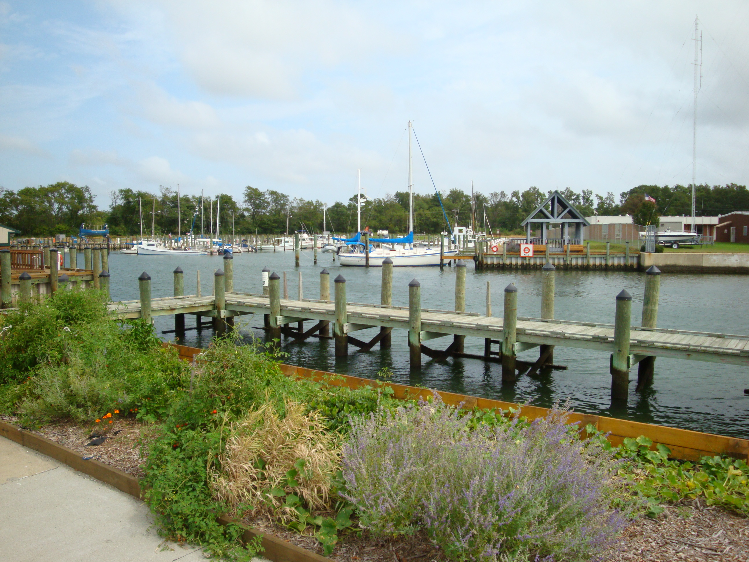
The Chesapeake Bay watershed spans over 41 million acres of interconnected waterways and coastal marshes across Maryland. You can plan your route around salt marshes and tidal flats that offer plenty of opportunities for kayaking and water-based recreation.
Updated
Charging at a glance
- Closest listed charger: 0.5 km (L2)
- Networks listed: Tesla (Tesla-only charging)
From the Open Charge Map listings under Charging nearby.
Quick Facts
Notable for: waters that flow to and through Chesapeake Bay
Activities
- Boating
- Fishing
Source: www.nwf.org, www.chesapeakebay.net
Charging nearby
Charging data from Open Charge Map
- L20.5 km
Siemens Maryland Home
View on Open Charge MapL20.6 kmHorn Point Marina
View on Open Charge MapL20.6 kmHorn Point Marina
View on Open Charge MapL20.6 km
Worth the detour?
No verdicts yet - be the first who's been there.
Sign in to leave a verdictAttribution
- chesapeakebay.net
- nwf.org
- Maryland State Archives
- NOAA Fisheries
- NPS - National Park Service
- National Park Service - National Park Service, U.S. Department of the Interior
- Recreation.gov (RIDB) - Recreation Information Database (RIDB)
- Wikipedia - Wikipedia (CC BY-SA)