

About
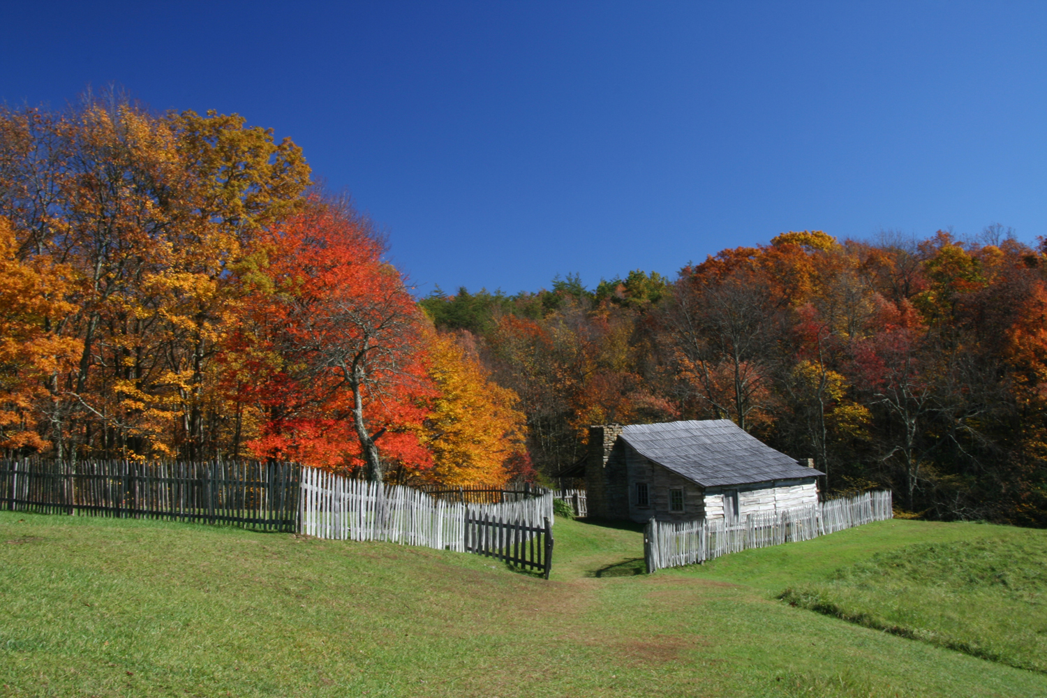
This mountain pass cuts a natural gap through the Appalachians, marking the spot where hundreds of thousands of pioneers once pushed westward. You can hike through 14,000 acres of wilderness, walk the old trails, or stand right on the border of Kentucky, Tennessee, and Virginia at the same time.
Updated
Charging at a glance
- Closest listed charger: 4.0 km (L2)
From the Open Charge Map listings under Charging nearby.
Quick Facts
Notable for: the first great gateway to the west
Founded: June 11, 1940
Elevation: from a low of 1,100 feet (340 m) to a high of 3,500 feet (1,100 m)
Camping and fees
- Entry fee
- : no entrance feesSource: www.nps.gov
Activities
- Hiking
Source: www.nps.gov
Charging nearby
Charging data from Open Charge Map
Kroger
View on Open Charge MapL24.0 km
Worth the detour?
No verdicts yet - be the first who's been there.
Sign in to leave a verdictAttribution
- nps.gov
- nps.gov
- NPS - National Park Service
- National Park Service - National Park Service, U.S. Department of the Interior
- Recreation.gov (RIDB) - Recreation Information Database (RIDB)
- Virginia Department of Wildlife Resources
- Wikidata - Wikidata / Wikimedia Commons
- Wikipedia - Wikipedia (CC BY-SA)