About
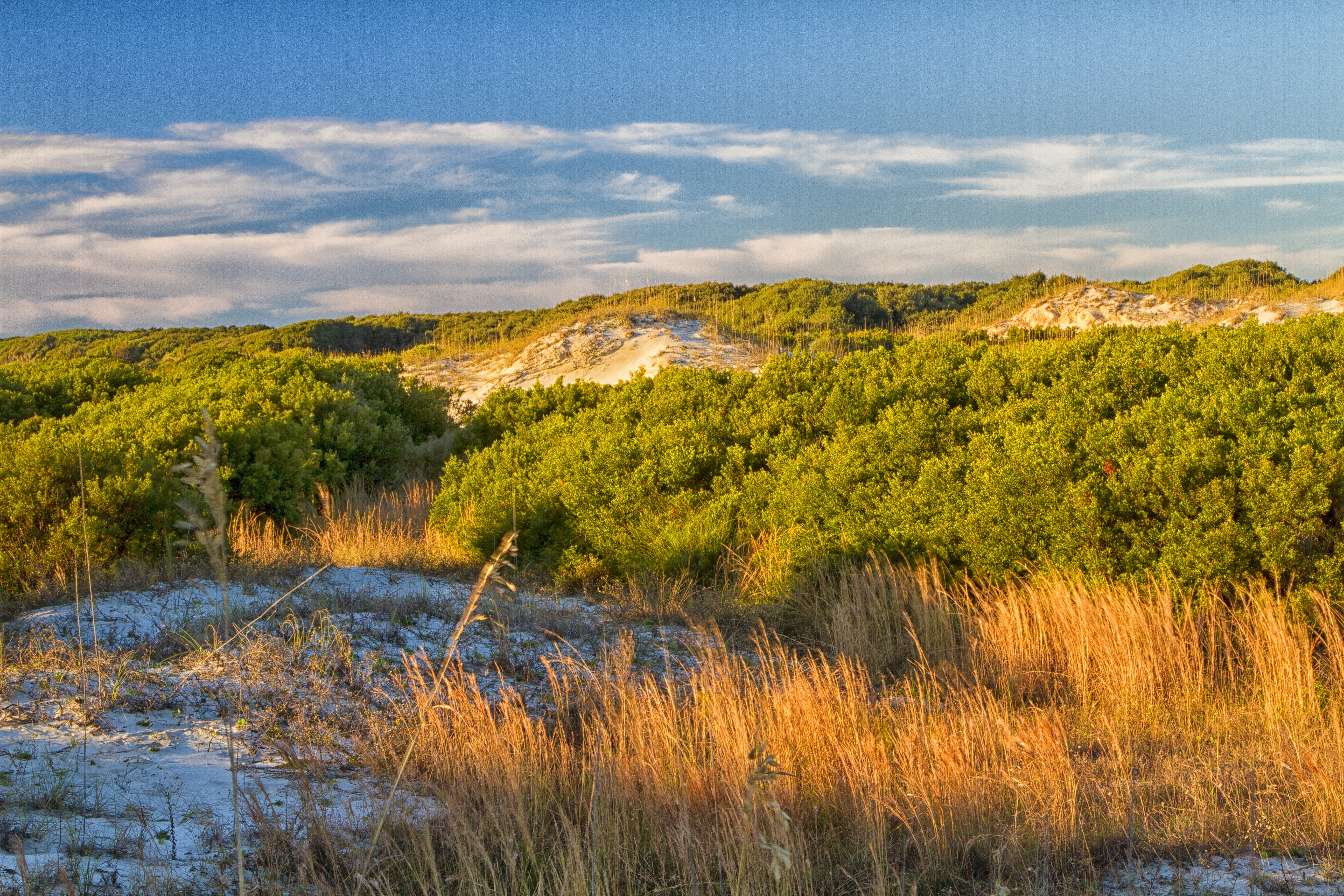
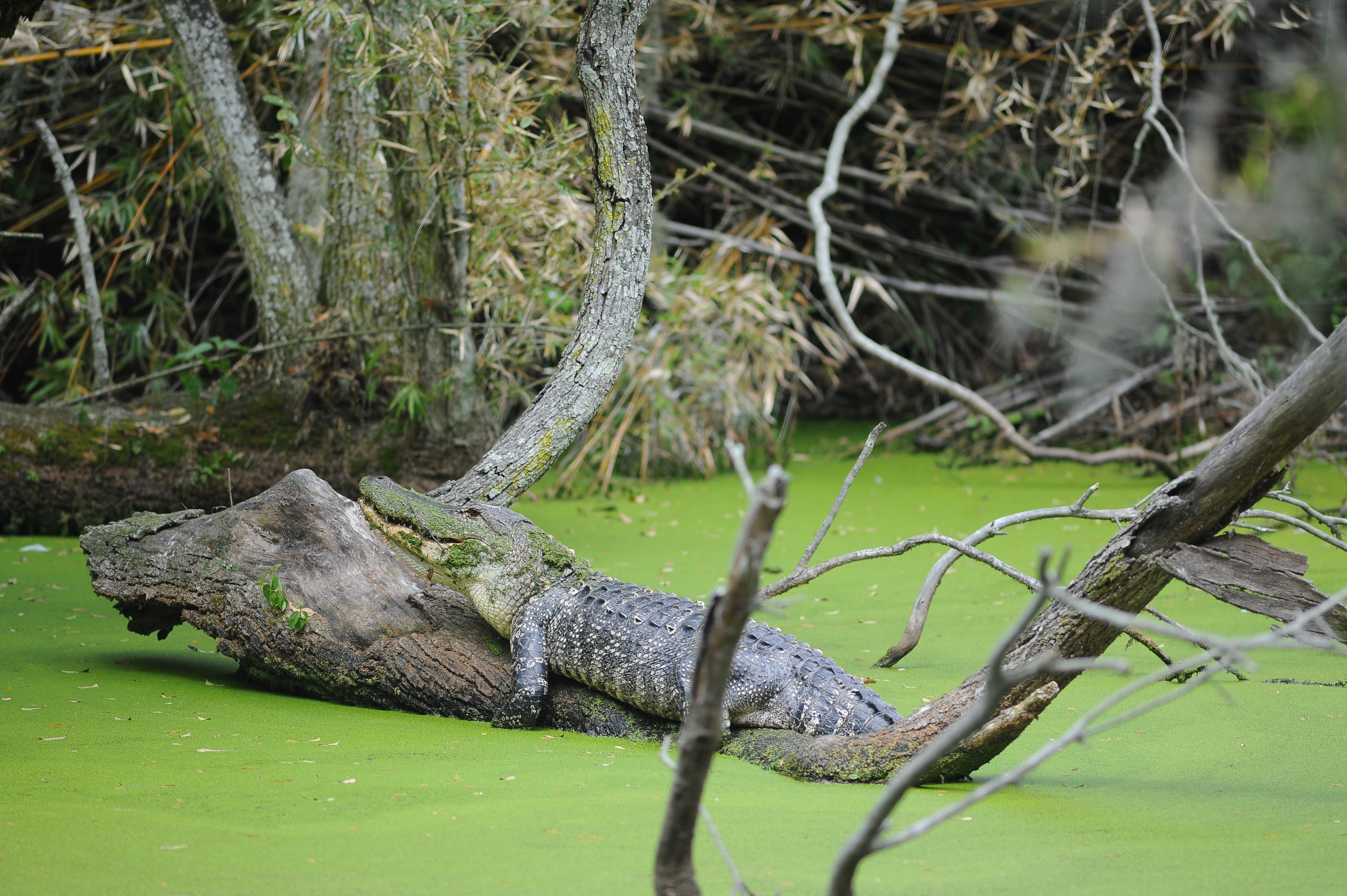
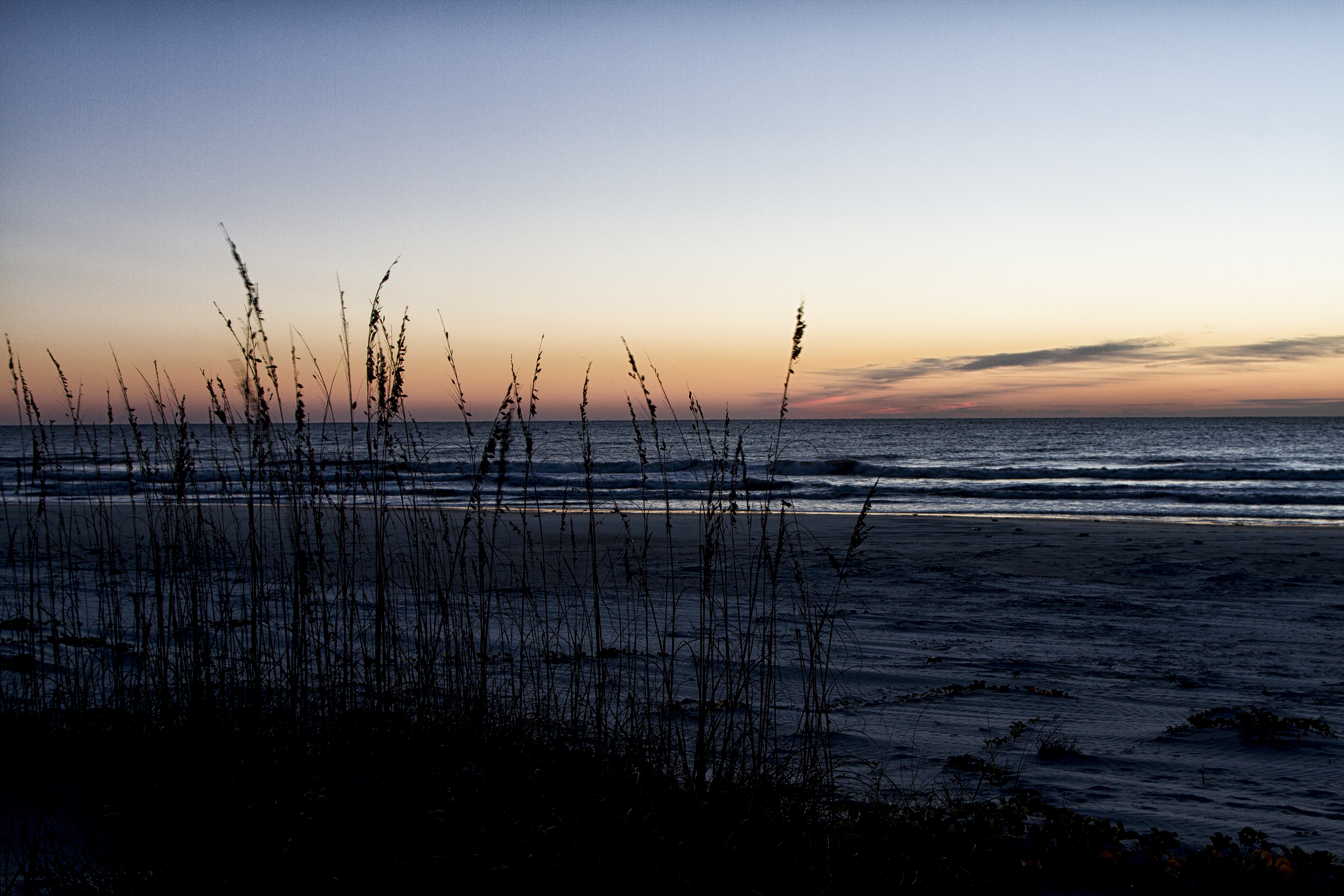
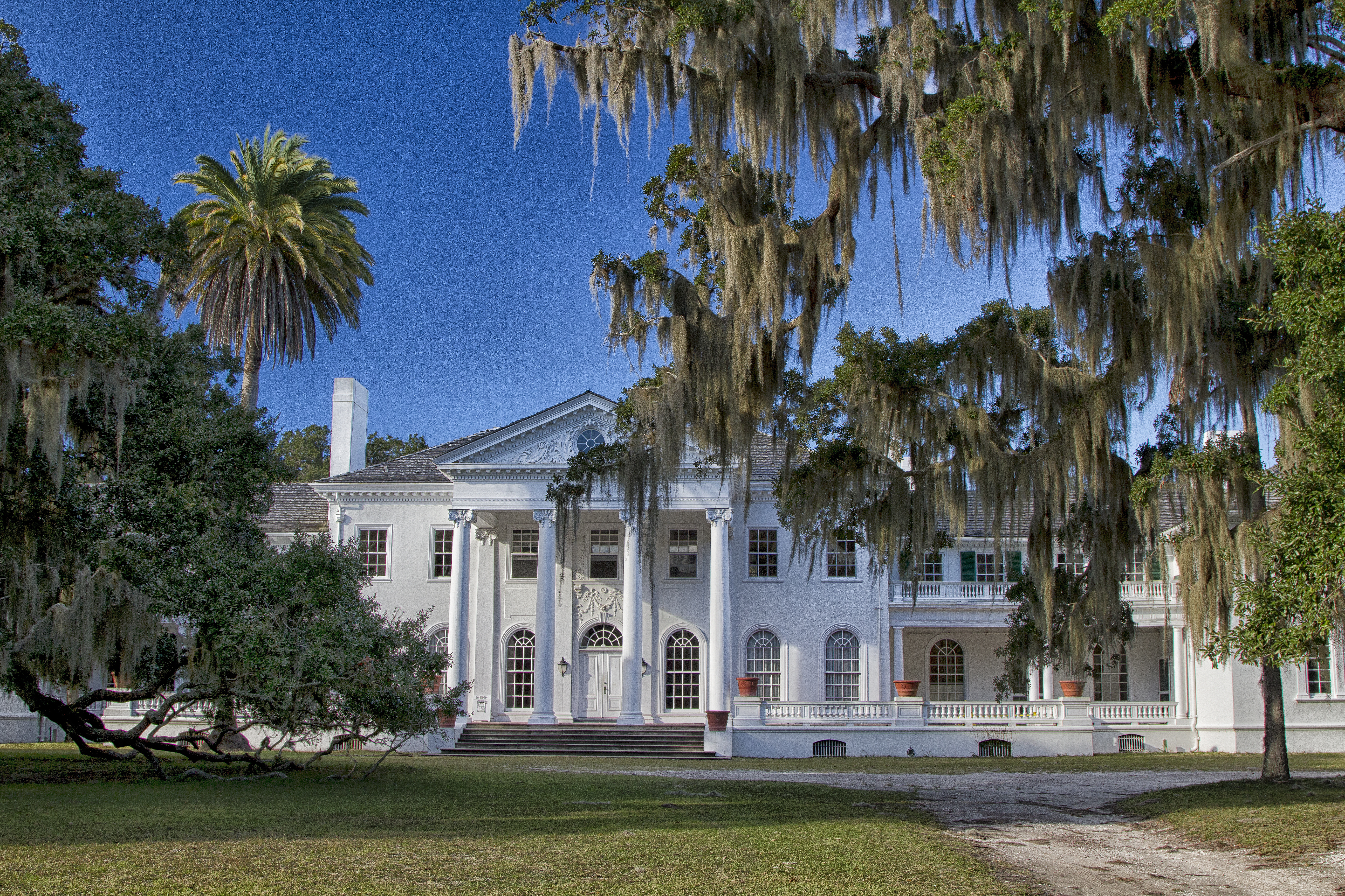
Cumberland Island is a massive stretch of maritime forest, salt marshes, and undeveloped beaches sitting at the southern end of Georgia's coast. You can spend your days wandering through nearly 10,000 acres of wilderness or tracking down the ruins of old coastal estates.
Updated
Charging at a glance
- Closest listed charger: 11.0 km (L1)
- Networks listed: Tesla (Tesla-only charging)
From the Open Charge Map listings under Charging nearby.
Quick Facts
Notable for: Georgia's largest and southernmost barrier island, featuring maritime forests, undeveloped beaches, wide marshes, and historic sites.
Founded: October 23, 1972
Camping and fees
- Entry fee
- : $15 per person for a 7-day entrance passSource: www.nps.gov
Charging nearby
Charging data from Open Charge Map
Naval Facilities Engineering Command - Naval Submarine Base Kings Bay
View on Open Charge MapL111.0 kmSUBASE Kings Bay / N42237-PVCARPORT-5,6,7,8
View on Open Charge MapL212.8 kmNaval Submarine Base - Kings Bay - Upper Base
View on Open Charge MapL213.1 kmSUBASE Kings Bay / N42237-PVCARPORT-1,2,3,4
View on Open Charge MapL213.6 km- L217.7 km
Worth the detour?
No verdicts yet - be the first who's been there.
Sign in to leave a verdictAttribution
- nps.gov
- Cumberland Island Ferry
- NPS - National Park Service
- National Park Service - National Park Service, U.S. Department of the Interior
- Recreation.gov (RIDB) - Recreation Information Database (RIDB)
- Wikidata - Wikidata / Wikimedia Commons
- Wikipedia - Wikipedia (CC BY-SA)