
About
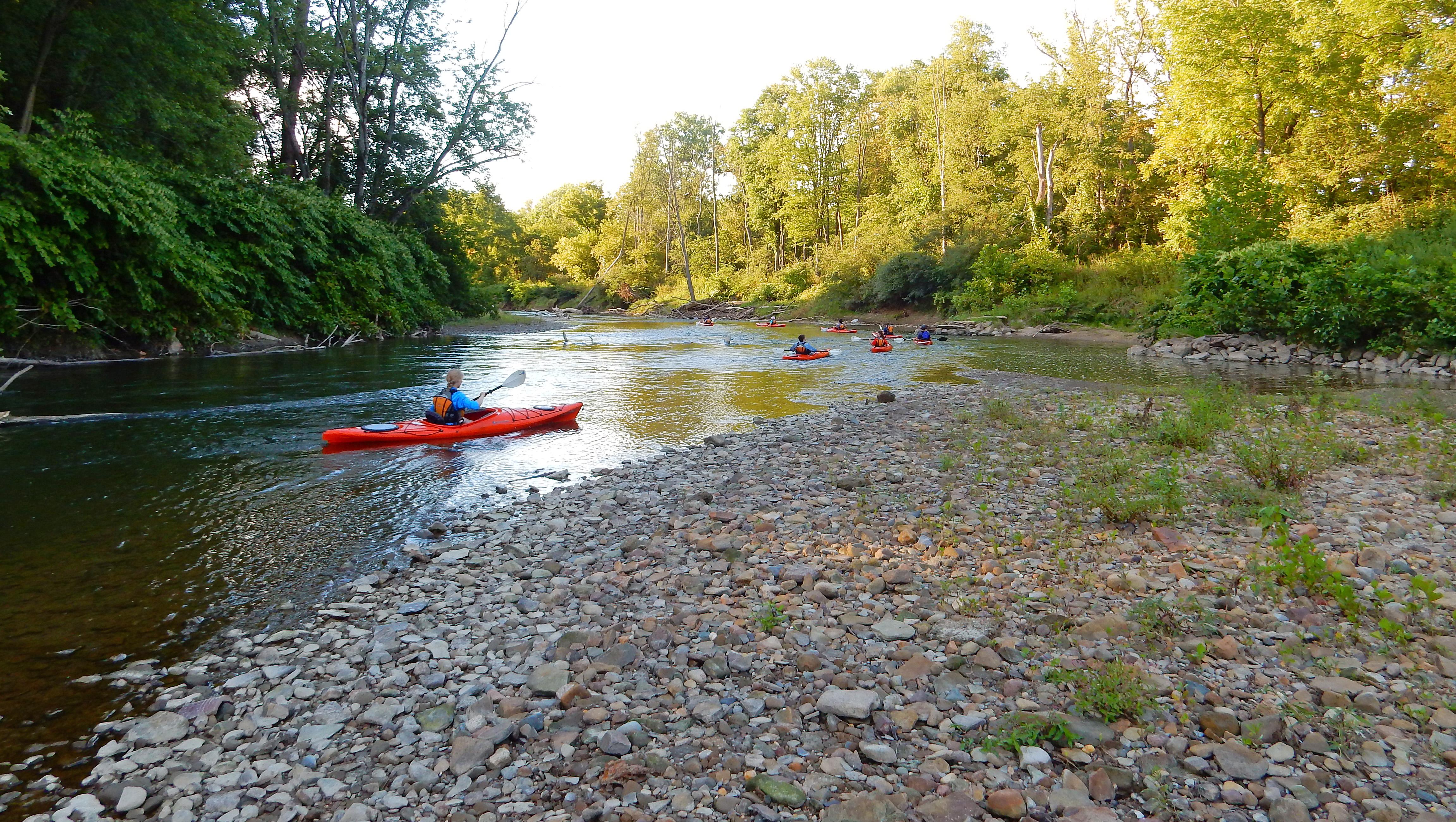
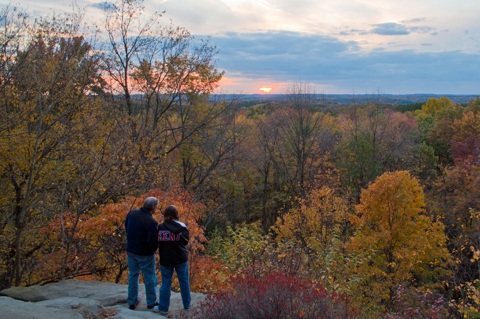
You will find thick forests, rolling hills, and open farmland cutting through the space between Cleveland and Akron. Most people head here to hike the Towpath Trail along the old canal route or to paddle the winding Cuyahoga River.
Updated
Charging at a glance
- Closest listed charger: 5.7 km (L2)
- Closest listed DC fast charger: 7.1 km
From the Open Charge Map listings under Charging nearby.
Quick Facts
Notable for: the only national park that originated as a national recreation area
Founded: 1974
Camping and fees
- Entry fee
- : FreeSource: www.nps.gov
Activities
- Hiking
- Horseback riding
Source: www.nps.gov, www.nps.gov
Charging nearby
Charging data from Open Charge Map
Digeronimo Companies
View on Open Charge MapL25.7 kmCanvas
View on Open Charge MapL26.3 kmDavey Resources
View on Open Charge MapL26.8 kmSpitzer Chevrolet Northfield
View on Open Charge MapDC Fast7.1 kmSohar's All Season Mower Service Inc
View on Open Charge MapL27.1 km
Camp and charge reports
No reports yet - be the first to share what you found.
Sign in to add a reportWorth the detour?
No verdicts yet - be the first who's been there.
Sign in to leave a verdictAttribution
- nps.gov
- nps.gov
- nps.gov
- nps.gov
- NPS - National Park Service
- National Park Service - National Park Service, U.S. Department of the Interior
- Recreation.gov (RIDB) - Recreation Information Database (RIDB)
- Wikidata - Wikidata / Wikimedia Commons
- Wikipedia - Wikipedia (CC BY-SA)