

About
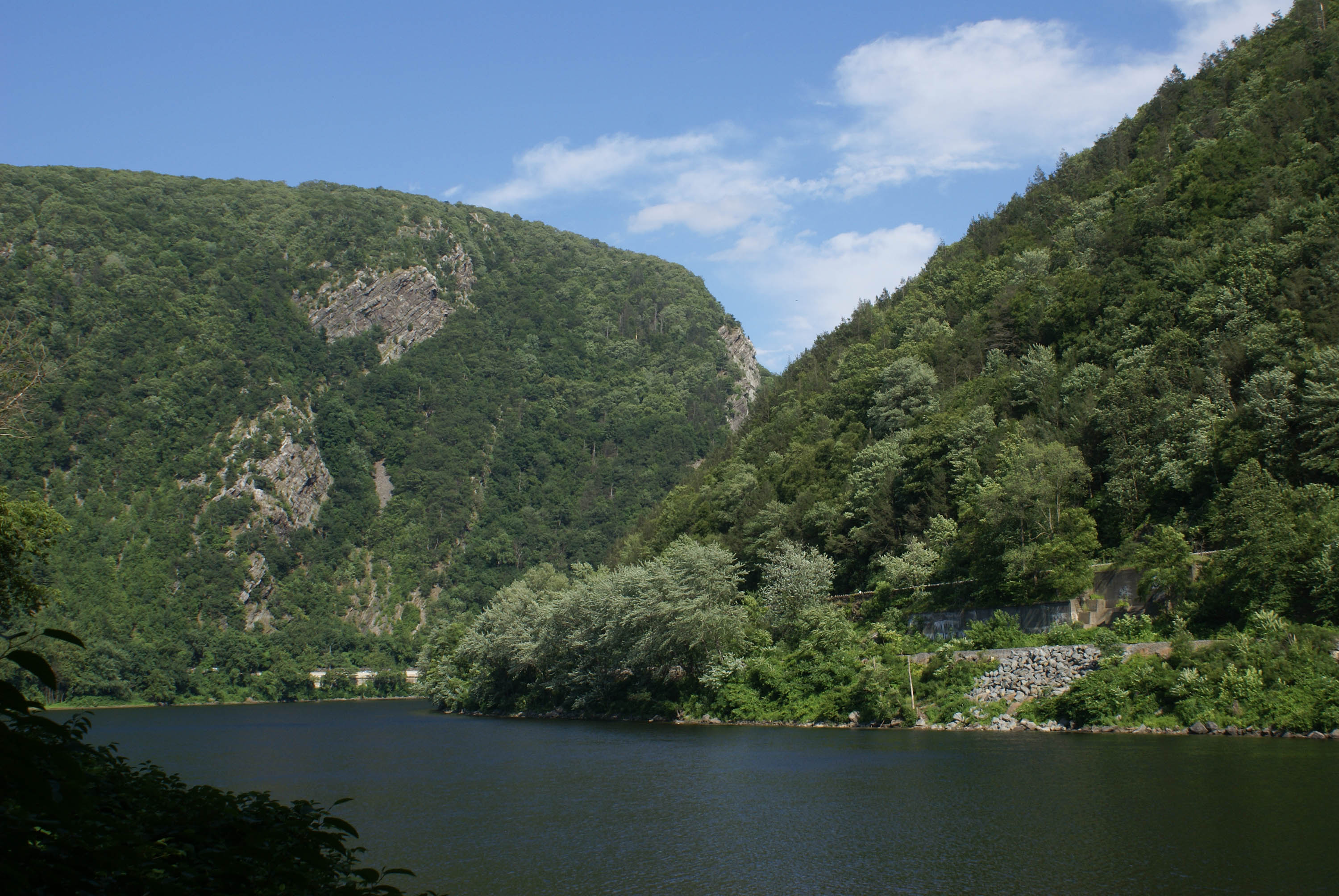
Forty miles of the longest free-flowing river east of the Mississippi cuts through a mountain pass between Blue Mountain and Kittatinny Ridge, offering quiet stretches for paddling and fishing in one of the densest regions of the country.
Updated
Charging at a glance
- Closest listed charger: 5.3 km (L2)
From the Open Charge Map listings under Charging nearby.
Quick Facts
Notable for: tranquil landscapes, rich human history, and striking scenery along 40 miles of the longest free-flowing river east of the Mississippi
Founded: 1965
Camping and fees
- Entry fee
- : No entry feeSource: www.nps.gov
Seasons
- Season note (December to March)Winters are moderately cold, with average temperatures in the 30°F to 40°F (-1°C to 4°C) during the day. Snow and ice are common between December and March.Source: www.nps.gov
Activities
- Hiking
Source: en.wikipedia.org
Charging nearby
Charging data from Open Charge Map
Delaware Water Gap National Recreation Area
View on Open Charge MapL25.3 kmRoost Deli and Market
View on Open Charge MapL28.2 kmNewton Inn
View on Open Charge MapL218.0 kmSunoco
View on Open Charge MapL218.0 kmWATER STREET WSL #4
View on Open Charge MapL218.2 km
Worth the detour?
No verdicts yet - be the first who's been there.
Sign in to leave a verdictAttribution
- en.wikipedia.org
- npshistory.com
- nps.gov
- NPS - National Park Service
- National Park Service - National Park Service, U.S. Department of the Interior
- Recreation.gov (RIDB) - Recreation Information Database (RIDB)
- Wikidata - Wikidata / Wikimedia Commons
- Wikipedia - Wikipedia (CC BY-SA)