About
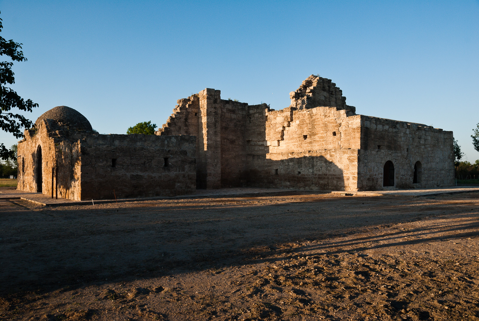
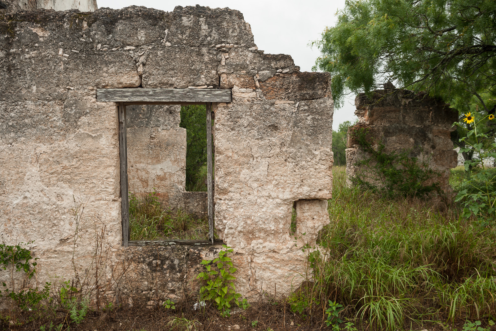
This trail traces a 150-year stretch of Texas history through old mission sites and early ranching lands. You can follow the same routes used by Spanish missionaries and cattle drivers to see how the region shifted from colonial outposts to an independent state.
Updated
Charging at a glance
- Closest listed charger: 2.2 km (L2)
- Closest listed DC fast charger: 3.6 km
- Networks listed: Tesla (including non-tesla)
From the Open Charge Map listings under Charging nearby.
Quick Facts
Notable for: Spanish struggle to missionize American Indian nations, the growth of cattle ranching in the Mexican period, and the movement for Texan independence and statehood
Founded: 2004
Camping and fees
- Entry fee
- : No entry feesSource: www.nps.gov
Charging nearby
Charging data from Open Charge Map
Covert Chevrolet Buick GMC
View on Open Charge MapL22.2 kmBastrop KOA
View on Open Charge MapL22.2 kmBuc-ee's
View on Open Charge MapDC Fast3.6 km- DC Fast3.6 km
Sames Ford Bastrop
View on Open Charge MapDC Fast6.5 km
Worth the detour?
No verdicts yet - be the first who's been there.
Sign in to leave a verdictAttribution
- nps.gov
- nps.gov
- El Camino Real de los Tejas National Historic Trail Association
- NPS - National Park Service
- National Park Service - National Park Service, U.S. Department of the Interior
- Recreation.gov (RIDB) - Recreation Information Database (RIDB)
- Wikidata - Wikidata / Wikimedia Commons
- Wikipedia - Wikipedia (CC BY-SA)