About
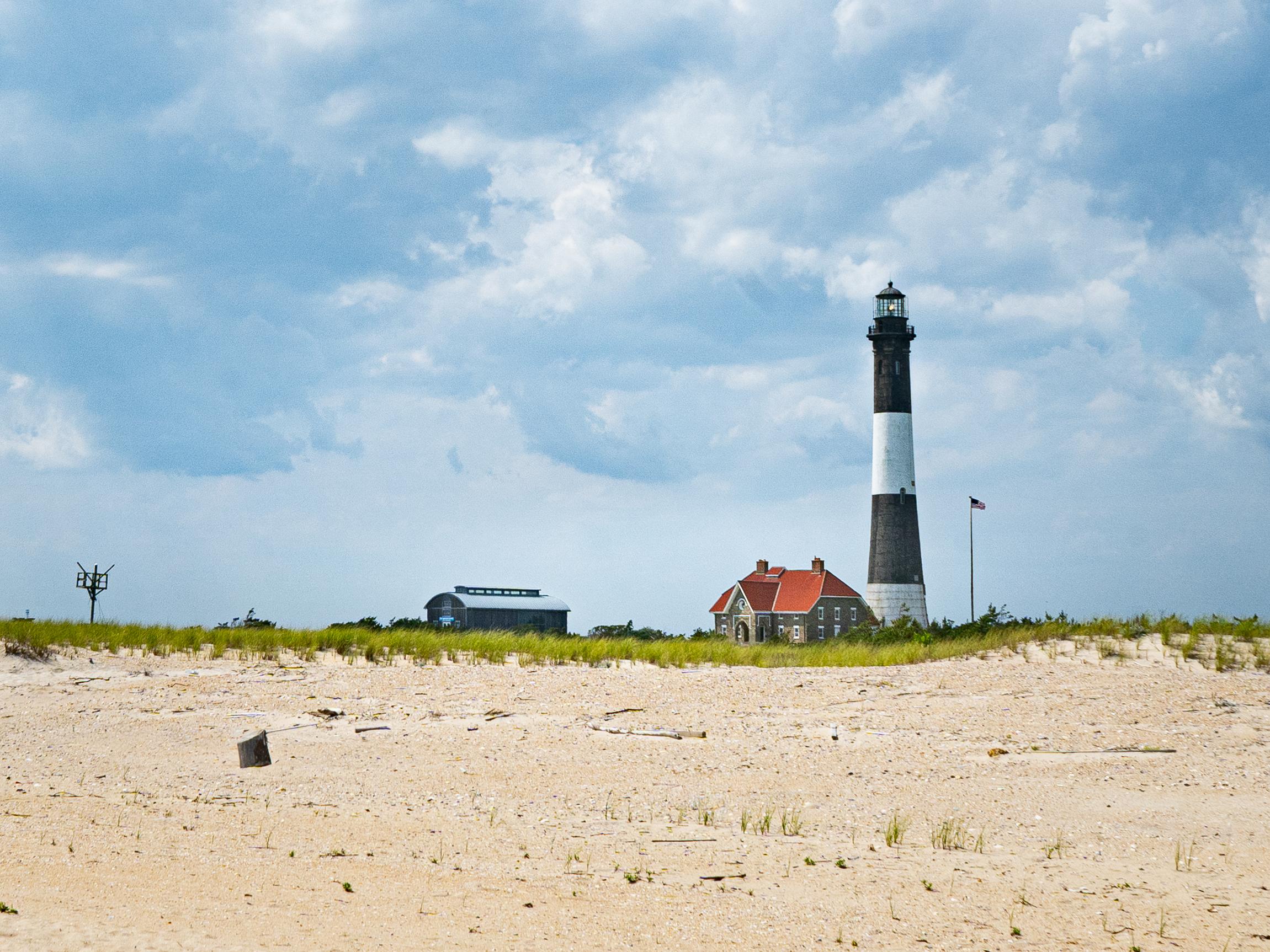
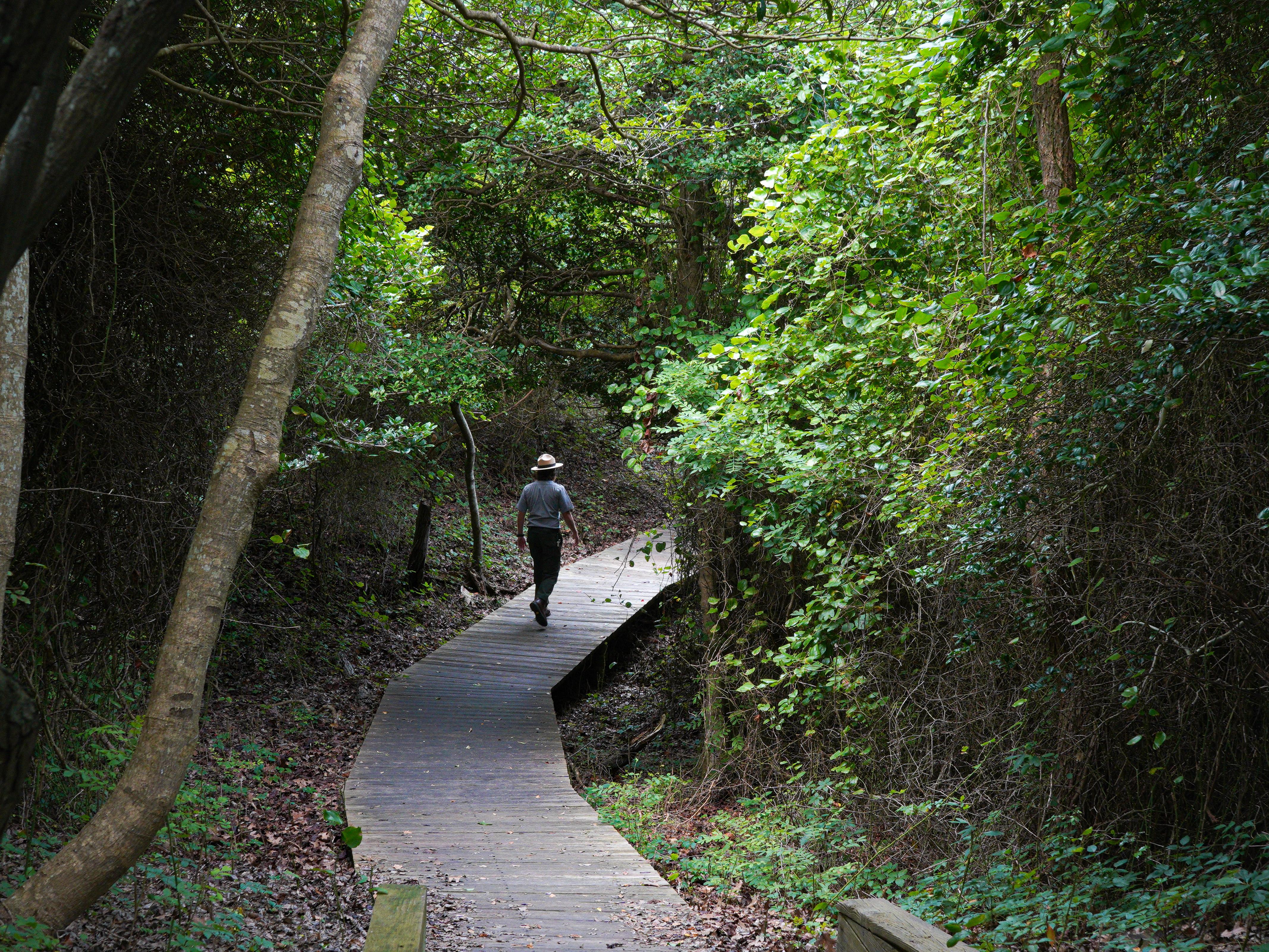
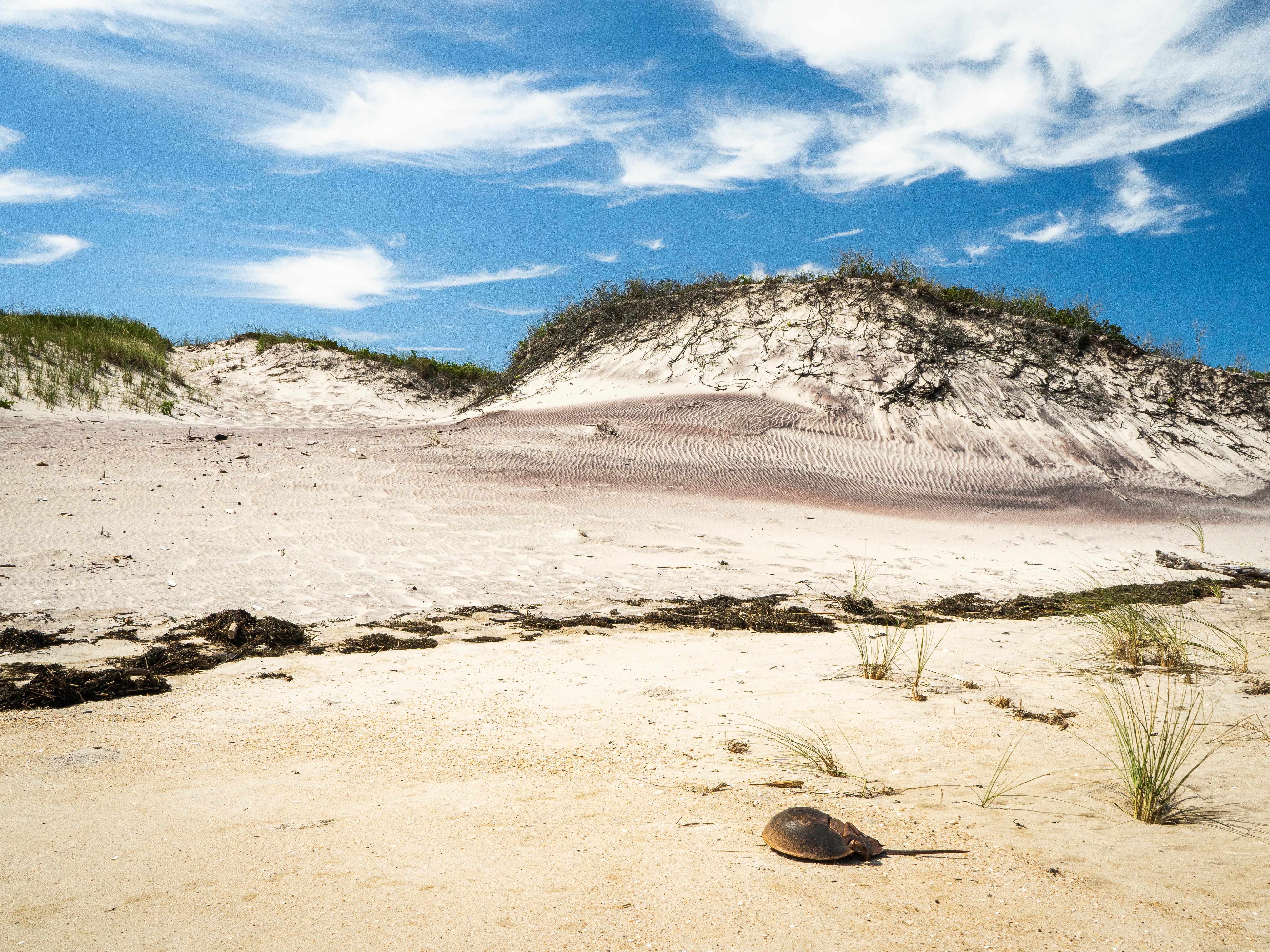
You will find endless sand dunes, maritime forests, and barrier island beaches stretching along this stretch of coastline. It is the perfect spot to ditch the city noise and focus on watching the wildlife or exploring old maritime landmarks.
Updated
Charging at a glance
- Closest listed charger: 6.0 km (L2)
From the Open Charge Map listings under Charging nearby.
Quick Facts
Notable for: enchanting collage of coastal life and history
Founded: September 11, 1964
Camping and fees
- Entry fee
- : No fee to enterSource: www.nps.gov
Activities
- Camping
- Boating
Source: www.nps.gov
Charging nearby
Charging data from Open Charge Map
BPRT #1 STATION 1
View on Open Charge MapL26.0 kmBayport Fire District
View on Open Charge MapL27.0 kmPATCHVILLAGE PATCHOGUE
View on Open Charge MapL27.3 kmPatchogue - Court House Village Parking Lot
View on Open Charge MapL27.8 kmNational Grid - Patchogue
View on Open Charge MapL27.8 km
Worth the detour?
No verdicts yet - be the first who's been there.
Sign in to leave a verdictAttribution
- en.wikipedia.org
- nps.gov
- nps.gov
- NPS - National Park Service
- National Park Service - National Park Service, U.S. Department of the Interior
- Recreation.gov (RIDB) - Recreation Information Database (RIDB)
- Wikidata - Wikidata / Wikimedia Commons
- Wikipedia - Wikipedia (CC BY-SA)