About
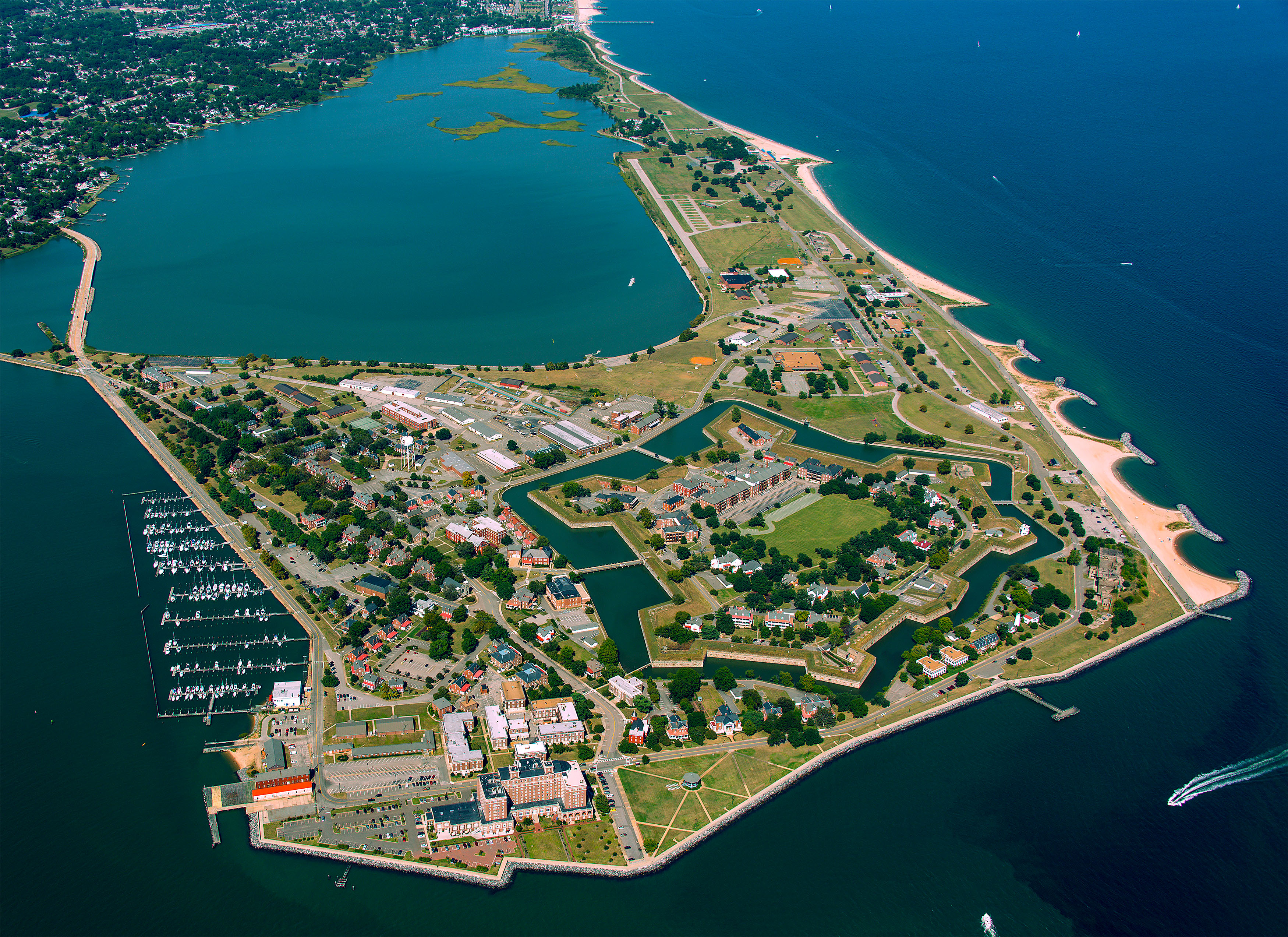
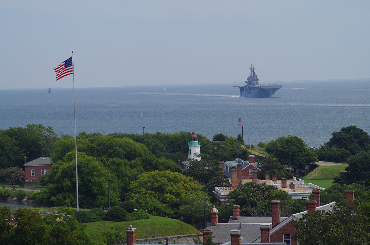
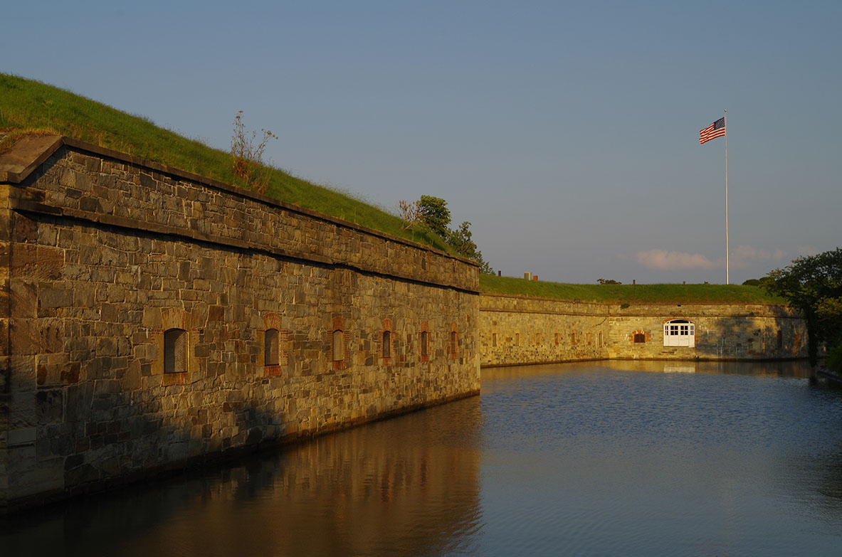
This coastal fortification sits at the tip of the Virginia Peninsula, guarding the entrance to the Chesapeake Bay. You can walk the grounds where history shifted from early colonial landings to Civil War escape routes.
Updated
Charging at a glance
- Closest listed charger: 0.9 km (L2)
From the Open Charge Map listings under Charging nearby.
Quick Facts
Notable for: former military installation that guarded the navigation channel between the Chesapeake Bay and Hampton Roads
Founded: 2011
Camping and fees
- Entry fee
- : No feesSource: fortmonroe.org
Activities
- Fishing
Source: fortmonroe.org
Charging nearby
Charging data from Open Charge Map
Oozlefinch Brewery
View on Open Charge MapL20.9 kmMonroe Gates Apartments
View on Open Charge MapL22.0 kmSERVICE BACK SERVICE FRONT
View on Open Charge MapL27.6 kmWynne Ford
View on Open Charge MapL27.7 kmOBE EMBASSY HAMPT R
View on Open Charge MapL27.7 km
Worth the detour?
No verdicts yet - be the first who's been there.
Sign in to leave a verdictAttribution
- en.wikipedia.org
- fortmonroe.org
- Fort Monroe Authority
- NPS - National Park Service
- National Park Service - National Park Service, U.S. Department of the Interior
- Recreation.gov (RIDB) - Recreation Information Database (RIDB)
- Wikidata - Wikidata / Wikimedia Commons
- Wikipedia - Wikipedia (CC BY-SA)