

About
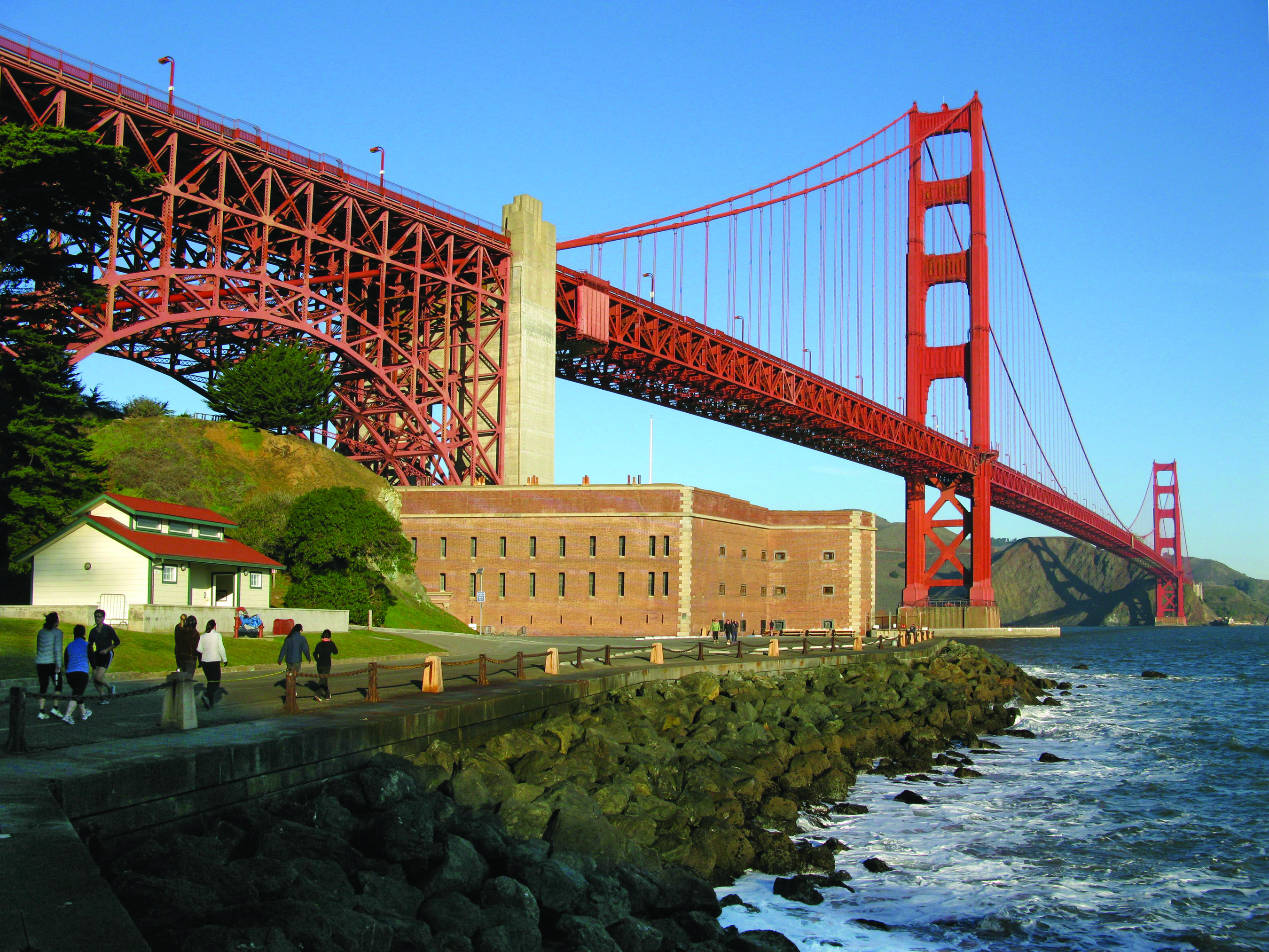
Brick casemates and heavy artillery sit directly underneath the Golden Gate Bridge, offering a low-angle view of the strait. You can walk through the masonry tunnels that once defended the bay from ships entering San Francisco.
Updated
Charging at a glance
- Closest listed charger: 0.2 km (L2)
- Networks listed: Rivian Waypoints L2 Network
From the Open Charge Map listings under Charging nearby.
Quick Facts
Notable for: defended the San Francisco Bay following California's Gold Rush through World War II
Founded: October 16, 1970
Camping and fees
- Entry fee
- : Free entranceSource: www.nps.gov
Charging nearby
Charging data from Open Charge Map
- L20.2 km
- L20.2 km
Golden Gate National Recreation Area - West Crissy Field
Rivian Waypoints L2 Network
View on Open Charge MapL20.2 km- L20.2 km
PRESIDIO TRUST TAYLOR ROAD 4
View on Open Charge MapL21.5 km
Worth the detour?
No verdicts yet - be the first who's been there.
Sign in to leave a verdictAttribution
- nps.gov
- nps.gov
- nps.gov
- Golden Gate Bridge, Highway and Transportation District
- NPS - National Park Service
- National Park Foundation
- National Park Service - National Park Service, U.S. Department of the Interior
- Presidio Trust
- Recreation.gov (RIDB) - Recreation Information Database (RIDB)
- Wikidata - Wikidata / Wikimedia Commons
- Wikipedia - Wikipedia (CC BY-SA)
More in California

 City / Town
Big Bear Lake
CA
High-altitude pine forests and a massive alpine lake define this stretch of the San Bernardino Mountains. You can spend …

June Lake
CA
June Lake is a high-altitude cluster of alpine lakes surrounded by granite peaks and steep mountain passes. It is a prim…

Mammoth Lakes
CA
High-altitude lakes and the slopes of Mammoth Mountain define this stretch of the Eastern Sierra. You can spend your day…

Olympic Valley
CA
You will find steep ski runs and the Truckee River running right through the heart of this valley. It is the home base f…