

About
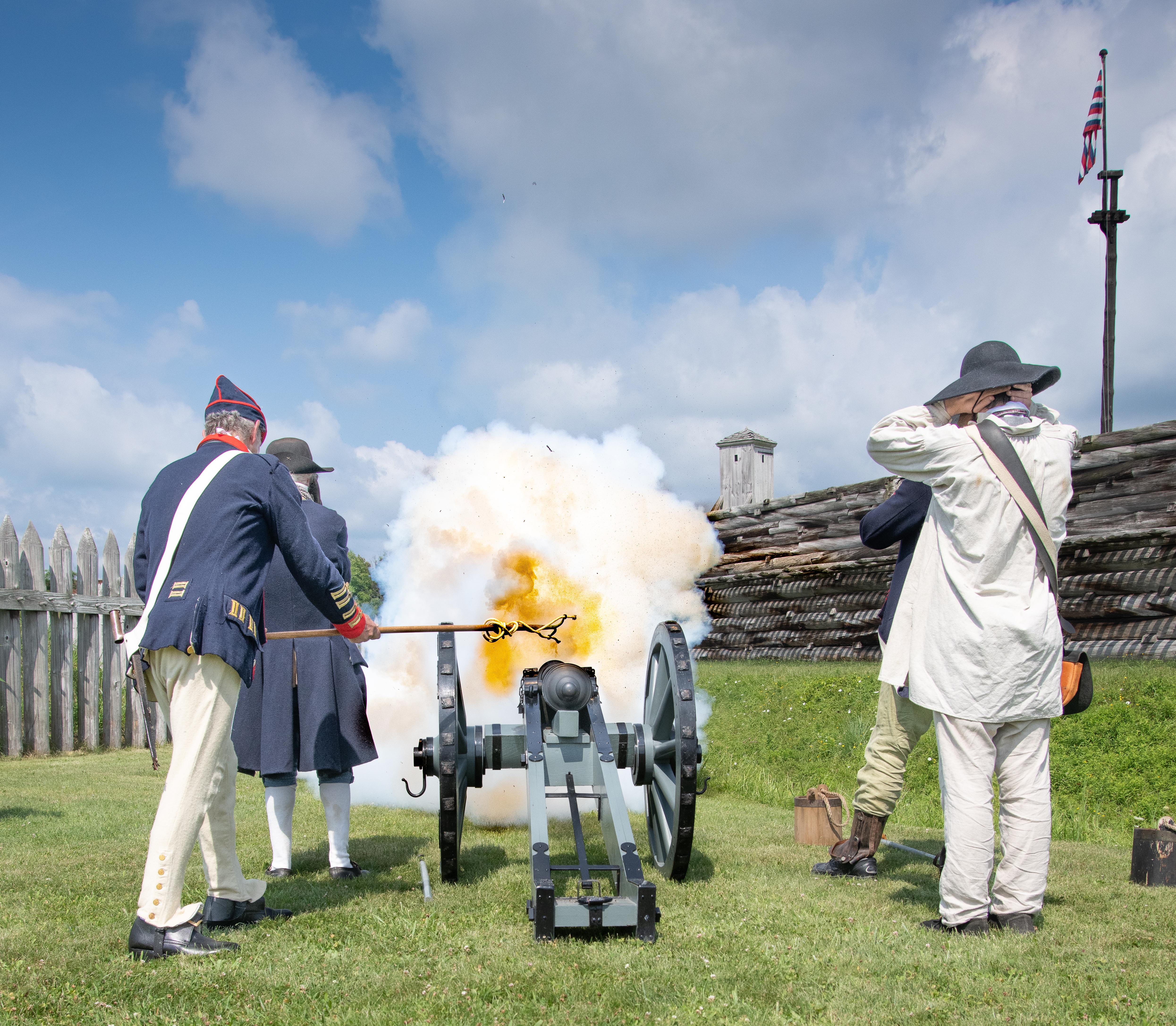
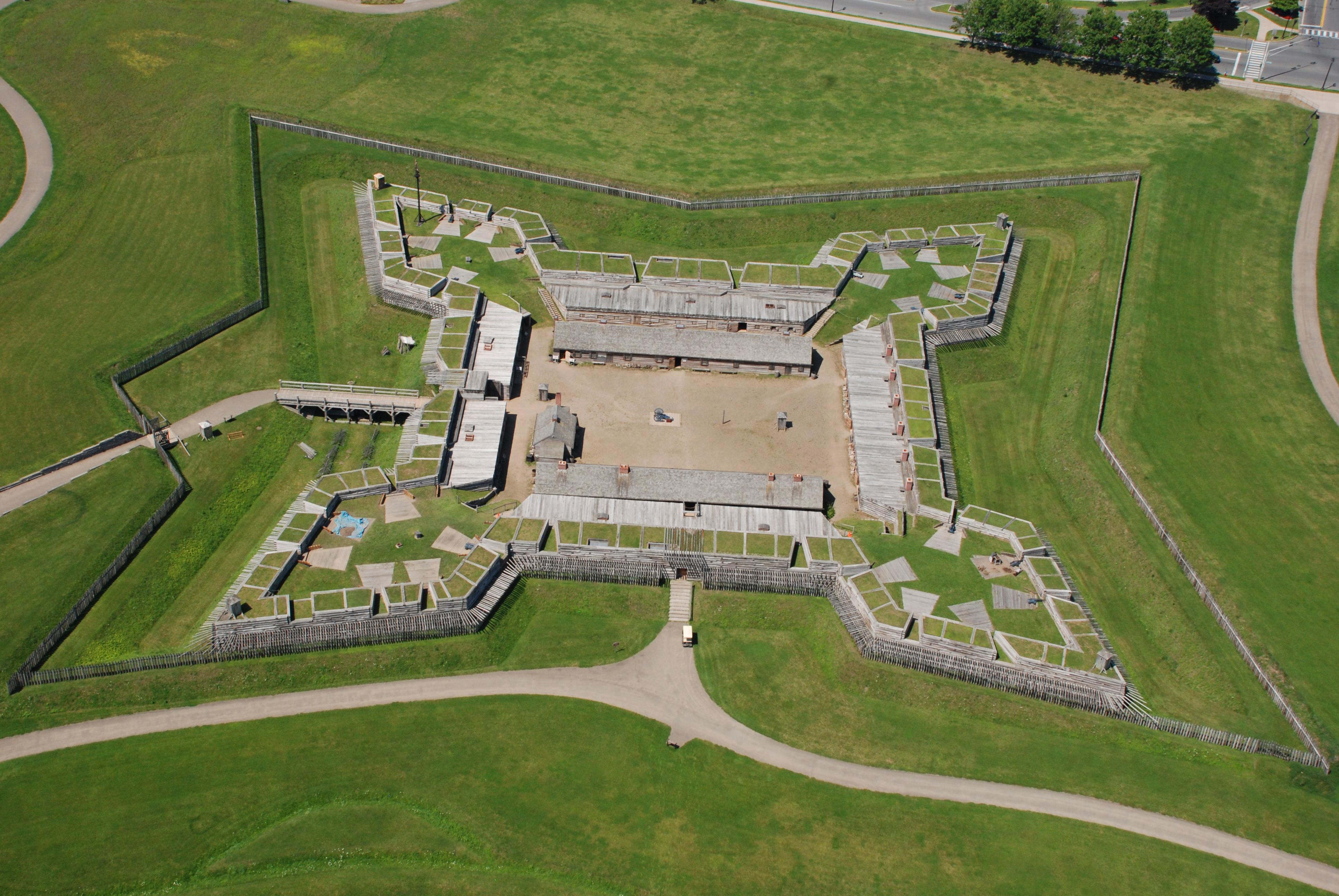
You will find the remains of a colonial bastion fort situated right along the six-mile portage that once linked the Mohawk River to Wood Creek. It is a prime stop if you want to see the actual site where different nations fought for control of this vital water route.
Updated
Charging at a glance
- Closest listed charger: 0.2 km (L2)
From the Open Charge Map listings under Charging nearby.
Quick Facts
Notable for: a colonial bastion fort
Camping and fees
- Entry fee
- : FreeSource: www.nps.gov
- Camping
- : No camp facilitiesSource: www.nps.gov
Seasons
- Season note (April to December)The Fort is open annually from mid-April through the mid-December dependent upon the weather/staffing.Source: www.nps.gov
Charging nearby
Charging data from Open Charge Map
EVPASS
View on Open Charge MapL20.2 kmROME HOUSING COL 2B
View on Open Charge MapL20.5 kmEVPASS R JFKA-1
View on Open Charge MapL21.1 kmEVPASS
View on Open Charge MapL21.1 kmEVPASS
View on Open Charge MapL21.6 km
Worth the detour?
No verdicts yet - be the first who's been there.
Sign in to leave a verdictAttribution
- nps.gov
- nps.gov
- nps.gov
- NPS - National Park Service
- National Park Service - National Park Service, U.S. Department of the Interior
- Recreation.gov (RIDB) - Recreation Information Database (RIDB)
- Wikidata - Wikidata / Wikimedia Commons
- Wikipedia - Wikipedia (CC BY-SA)