

About
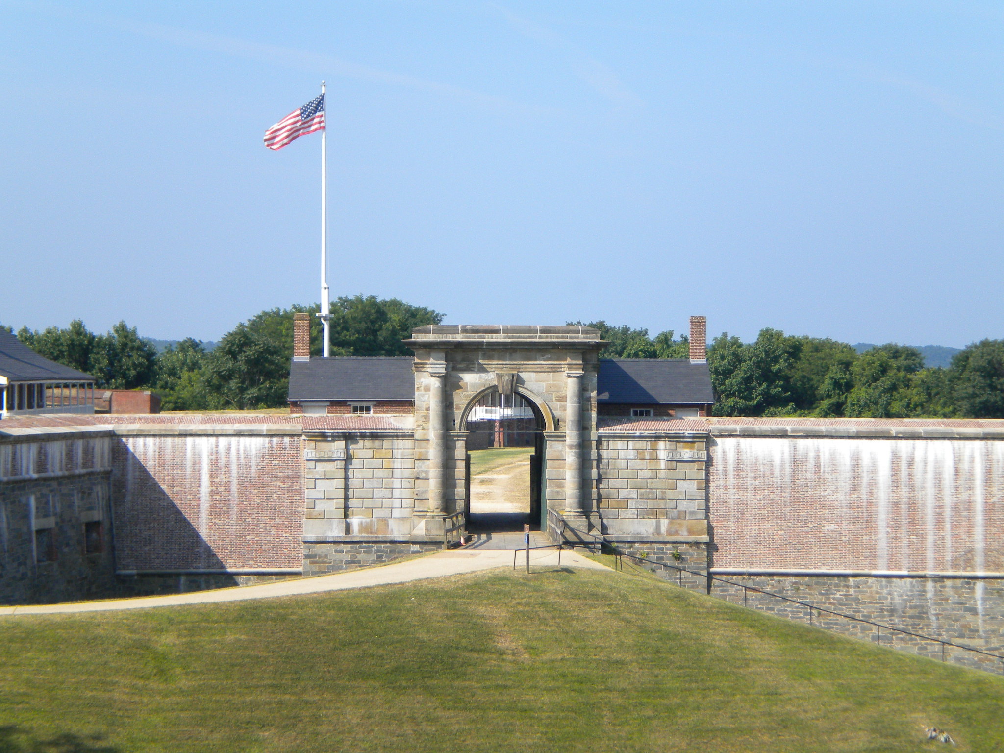
You can walk through layers of defense history here, ranging from 19th-century brickwork to heavy 20th-century concrete. The site sits right on the Potomac River, offering a clear look at how the landscape was used to guard the approach to D.C.
Updated
Charging at a glance
- Closest listed charger: 3.4 km (DC Fast)
- Closest listed DC fast charger: 3.4 km
- Networks listed: Electrify America
From the Open Charge Map listings under Charging nearby.
Quick Facts
Notable for: defending the river approach to Washington, DC
Founded: 1809
Charging nearby
Charging data from Open Charge Map
EVsmart - Pepco - Fort Washington Park and Ride
View on Open Charge MapDC Fast3.4 kmEVsmart - Pepco - Harmony Hall Regional Center
View on Open Charge MapL24.3 kmSMECO - Accokeek Library
View on Open Charge MapL25.1 kmManokeek Village Center
View on Open Charge MapL25.8 km- DC Fast6.0 km
Worth the detour?
No verdicts yet - be the first who's been there.
Sign in to leave a verdictAttribution
- nps.gov
- NPS - National Park Service
- National Park Service - National Park Service, U.S. Department of the Interior
- Recreation.gov (RIDB) - Recreation Information Database (RIDB)
- Wikidata - Wikidata / Wikimedia Commons
- Wikipedia - Wikipedia (CC BY-SA)