

About
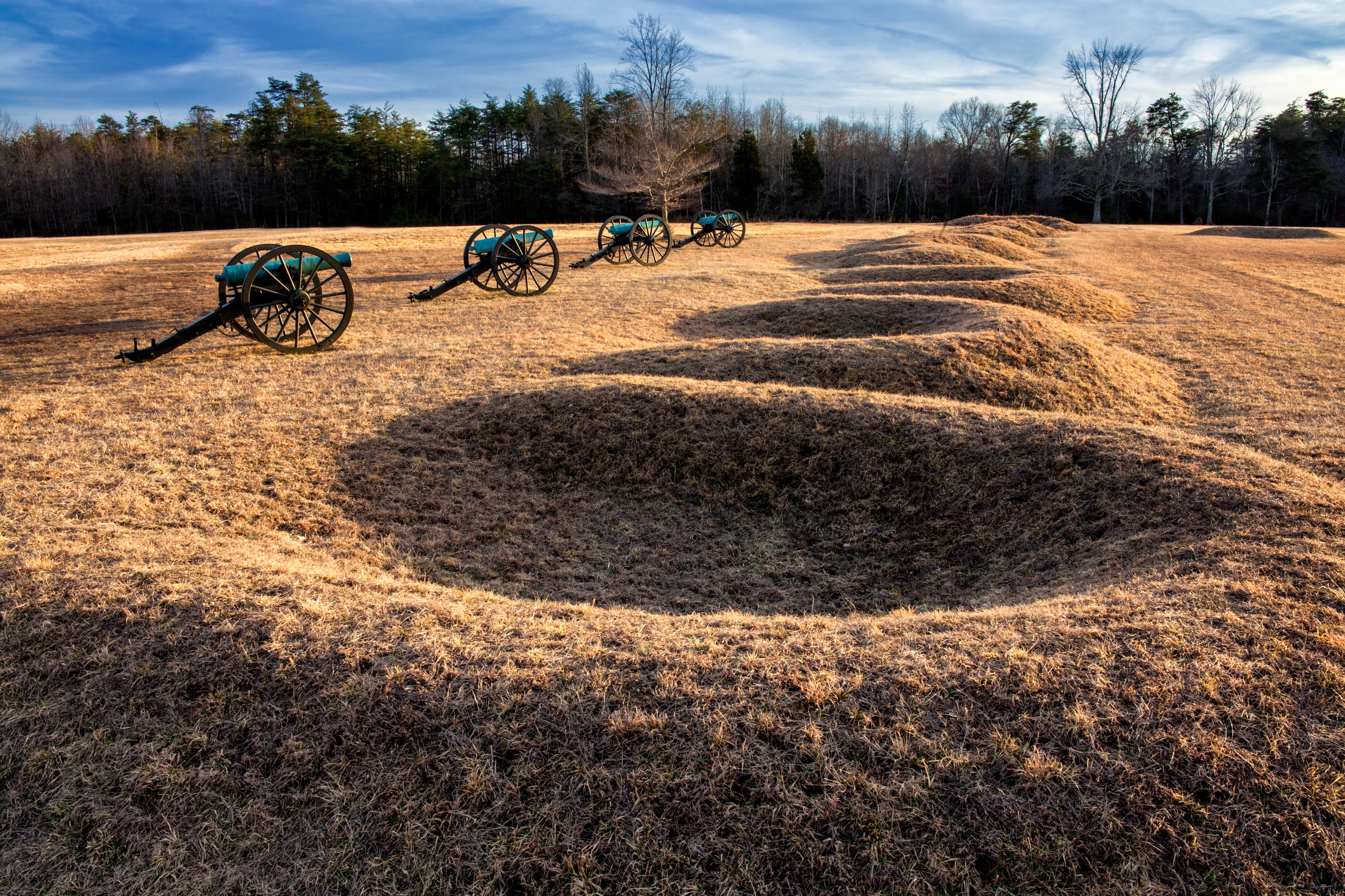
Rolling farmland and dense woodlands mark the sites where the Civil War reached its most violent turning points. You can drive through the actual battlefields of Chancellorsville and Spotsylvania to see the scars left on the landscape by the heavy fighting.
Updated
Charging at a glance
- Closest listed charger: 0.9 km (L2)
- Closest listed DC fast charger: 1.5 km
From the Open Charge Map listings under Charging nearby.
Quick Facts
Notable for: America's battleground, where the Civil War roared to its bloody climax
Camping and fees
- Entry fee
- : FreeSource: www.nps.gov
Charging nearby
Charging data from Open Charge Map
PUBLISHER #1-PUBLISHER
View on Open Charge MapL20.9 kmPUBLISHER #2-PUBLISHER
View on Open Charge MapL20.9 kmCity of Fredericksburg - Sophia Street Garage
View on Open Charge MapL21.2 kmRappahannock Library
View on Open Charge MapDC Fast1.5 kmThe Factory
View on Open Charge MapL22.3 km
Worth the detour?
No verdicts yet - be the first who's been there.
Sign in to leave a verdictAttribution
- nps.gov
- nps.gov
- NPS - National Park Service
- National Park Service - National Park Service, U.S. Department of the Interior
- Recreation.gov (RIDB) - Recreation Information Database (RIDB)
- Wikidata - Wikidata / Wikimedia Commons