

About
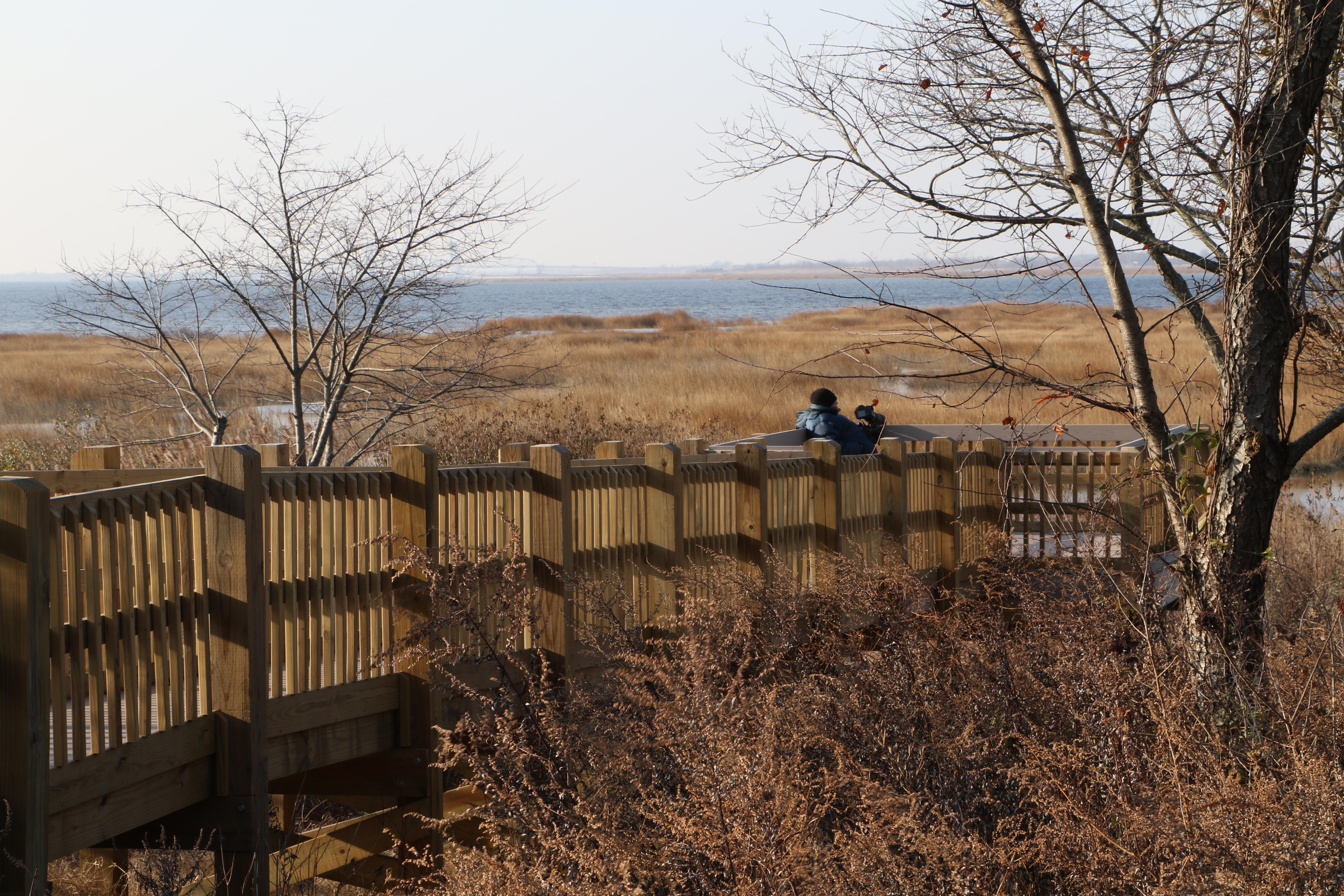
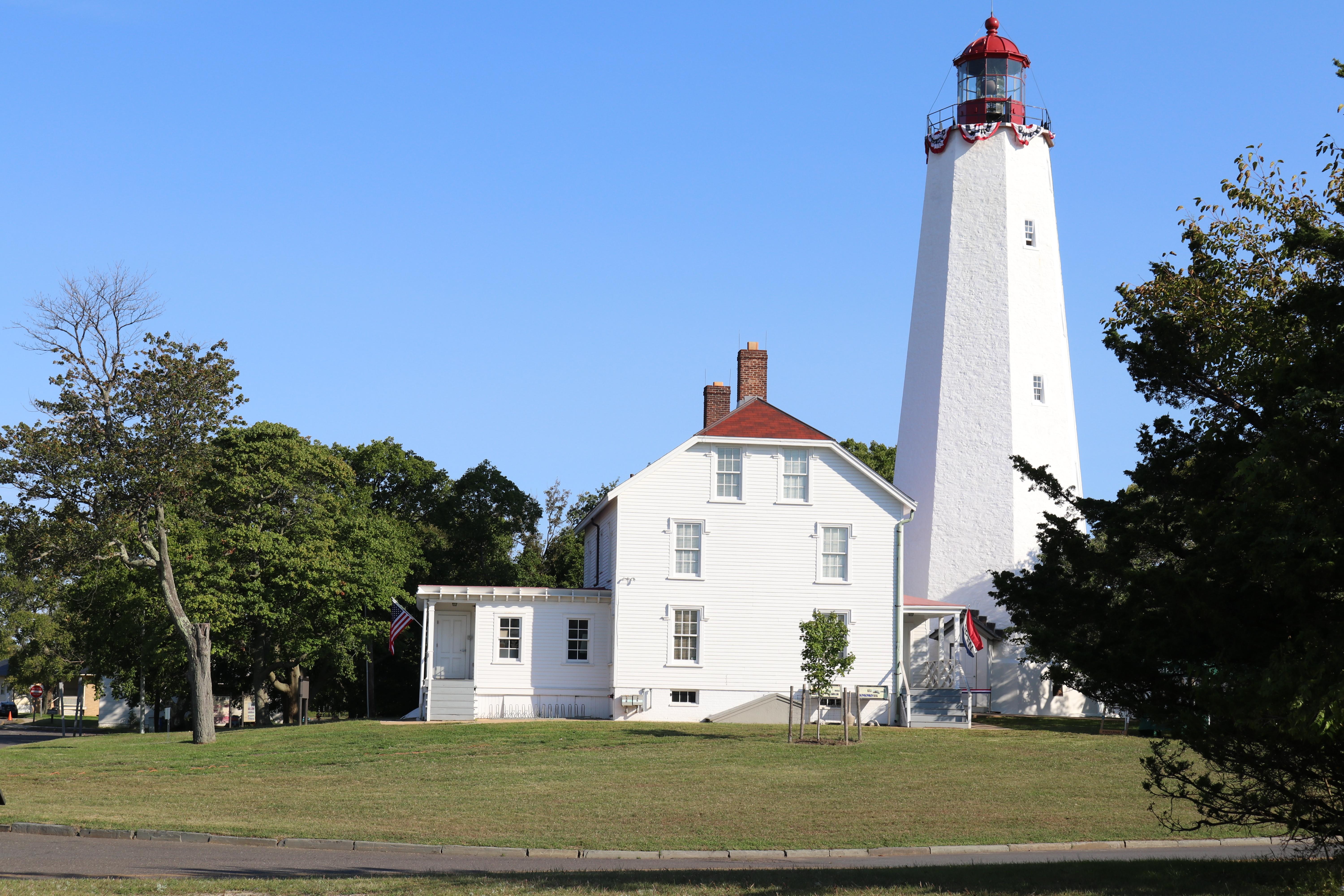
Sandy Hook and the Atlantic coastline stretch across this massive stretch of beach, marshes, and historic sites between New Jersey and New York City. You can swap the city skyline for ocean swimming, camping, and bird watching along the harbor.
Updated
Charging at a glance
- Closest listed charger: 3.4 km (L2)
- Closest listed DC fast charger: 3.5 km
From the Open Charge Map listings under Charging nearby.
Quick Facts
Notable for: gateway from the ocean into New York Harbor, and the gateway to the National Park Service
Founded: October 27, 1972
Camping and fees
- Entry fee
- : no entrance feesSource: www.nps.gov
Seasons
- Season note (May to September)Beach parking fees are collected at Jacob Riis Park and Sandy Hook between the Saturday of Memorial Day weekend and Labor Day.Source: www.nps.gov
Charging nearby
Charging data from Open Charge Map
Kings Bay
View on Open Charge MapL23.4 kmTHE VUE
View on Open Charge MapDC Fast3.5 km430806 Avalon Brooklyn Bay
View on Open Charge MapL23.8 km430806 Avalon Brooklyn Bay (Shared)
View on Open Charge MapL23.9 km2750 East 12th St Series
View on Open Charge MapL24.0 km
Worth the detour?
No verdicts yet - be the first who's been there.
Sign in to leave a verdictAttribution
- nps.gov
- nps.gov
- nps.gov
- NPS - National Park Service
- National Park Service - National Park Service, U.S. Department of the Interior
- Recreation.gov (RIDB) - Recreation Information Database (RIDB)
- Wikidata - Wikidata / Wikimedia Commons
- Wikipedia - Wikipedia (CC BY-SA)