

About
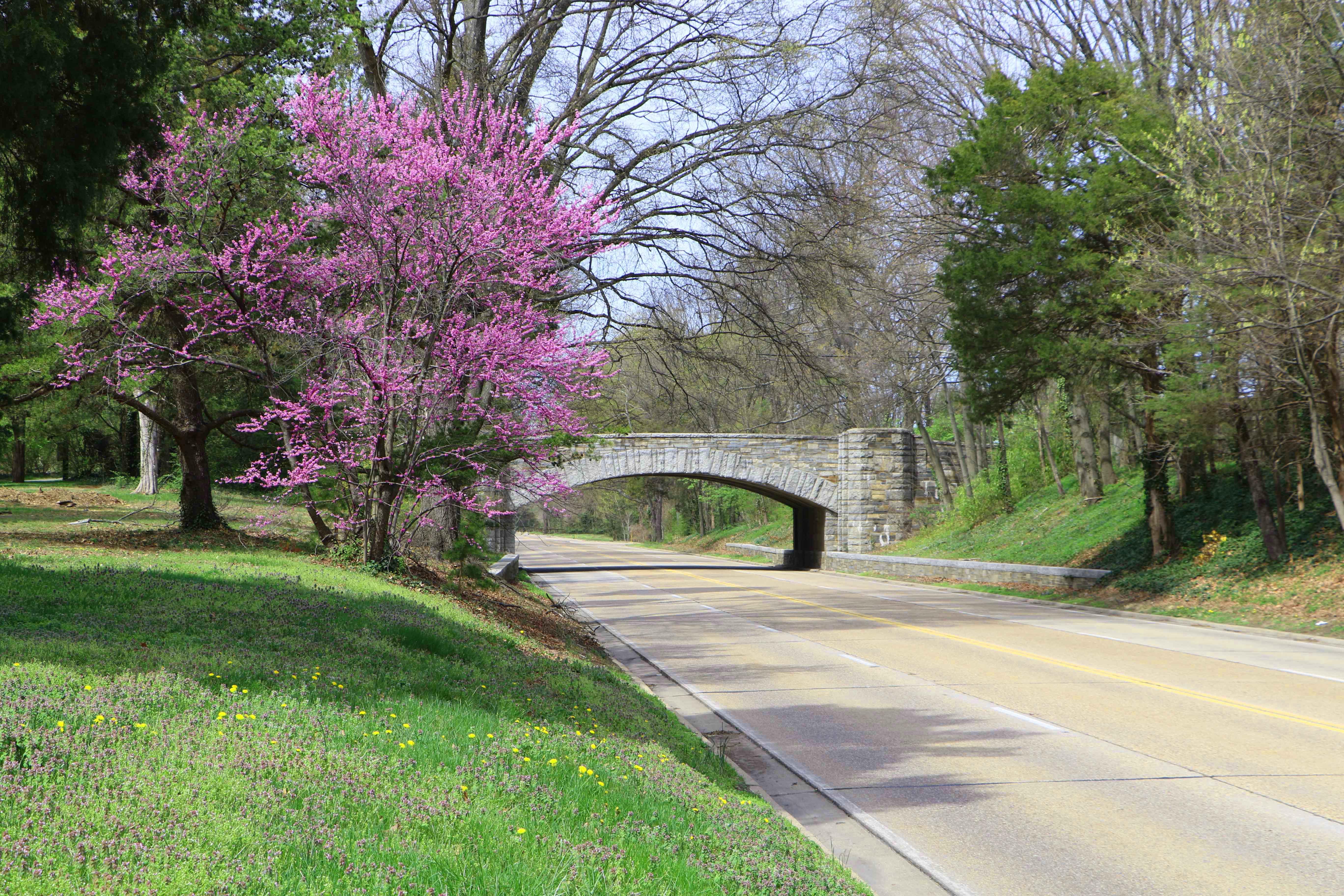
This twenty-five-mile stretch of road follows the Potomac River shoreline from Mount Vernon up to McLean. It is built specifically for slow driving and offers plenty of pull-offs for river views or quick walks along the water.
Updated
Charging at a glance
- Closest listed charger: 0.7 km (L2)
- Closest listed DC fast charger: 1.0 km
- Networks listed: eVgo Network
From the Open Charge Map listings under Charging nearby.
Quick Facts
Notable for: recreational driving, commemorating important episodes in American history and preserving habitat for local wildlife
Activities
- Hiking
- Biking
Source: www.nps.gov
Charging nearby
Charging data from Open Charge Map
ARLINGTON CO. 1212 S IRVING
View on Open Charge MapL20.7 km- DC Fast1.0 km
Penrose Square Apartments
View on Open Charge MapL21.1 kmWETA Parking Garage
View on Open Charge MapL21.4 km
Worth the detour?
No verdicts yet - be the first who's been there.
Sign in to leave a verdictAttribution
- explorenp.com
- nps.gov
- NPS - National Park Service
- National Park Service - National Park Service, U.S. Department of the Interior
- Recreation.gov (RIDB) - Recreation Information Database (RIDB)
- Wikidata - Wikidata / Wikimedia Commons
- Wikipedia - Wikipedia (CC BY-SA)