

About
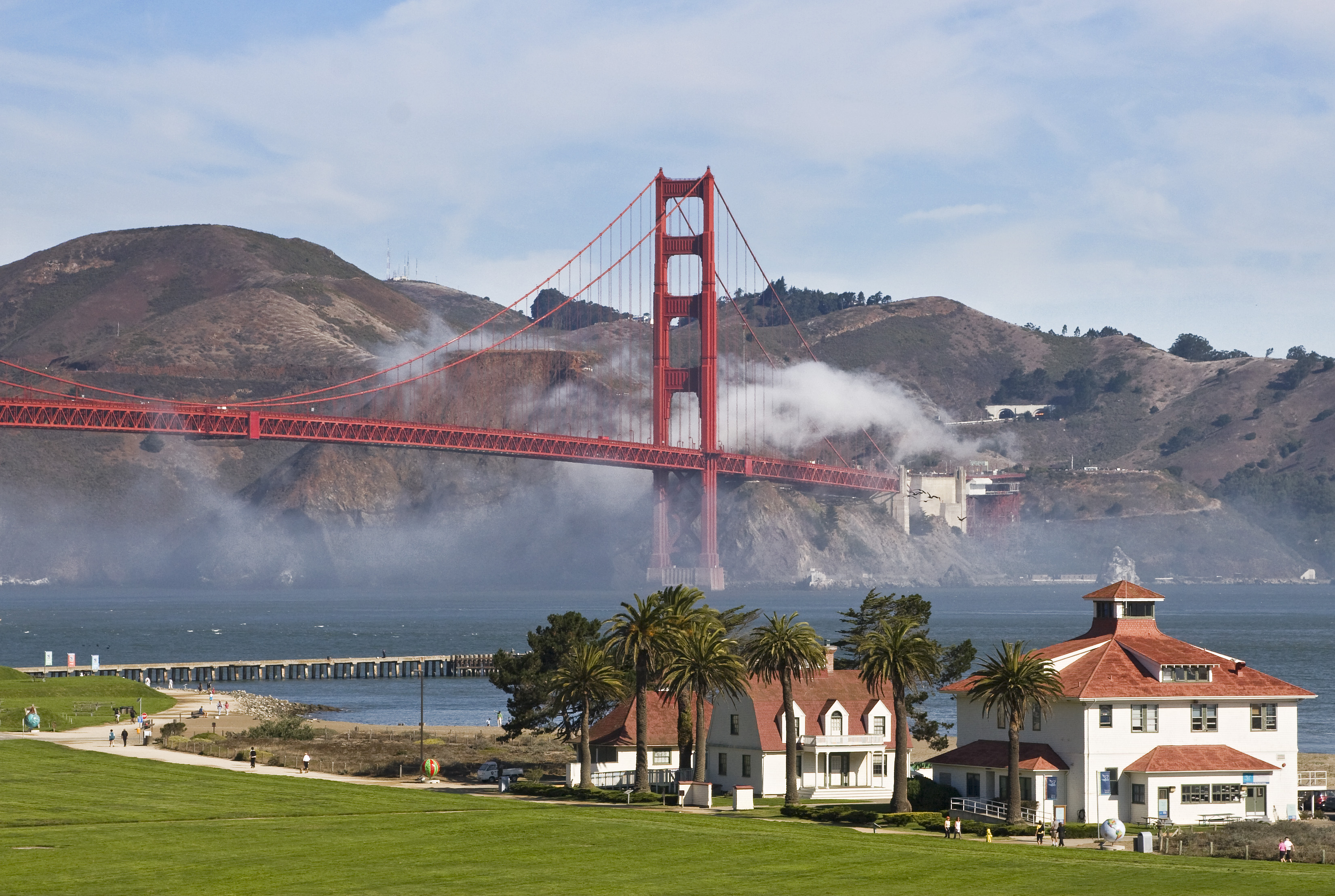
This massive stretch of coastline and bayland spans 82,000 acres of former military sites and diverse ecosystems right on the edge of the Bay Area. You can spend your days hiking through coastal scrub or visiting old army fortifications that overlook the water.
Updated
Charging at a glance
- Closest listed charger: 4.4 km (L2)
- Networks listed: Rivian Waypoints L2 Network
From the Open Charge Map listings under Charging nearby.
Quick Facts
Notable for: protecting 82,116 acres (33,231 ha) of ecologically and historically significant landscapes surrounding the San Francisco Bay Area
Founded: 1972
Seasons
- Wildflowers (March to May)View north from Mori Point showing abundant spring flowers and Mt. Tamalpais in the background.Source: www.nps.gov
Charging nearby
Charging data from Open Charge Map
- L24.4 km
Muir Woods
View on Open Charge MapL24.5 kmGolden Gate National Recreation Area - Stinson Beach
View on Open Charge MapL25.3 kmThe Marine Mammal Center
View on Open Charge MapL26.6 km
Worth the detour?
No verdicts yet - be the first who's been there.
Sign in to leave a verdictAttribution
- nps.gov
- Golden Gate National Parks Conservancy
- NPS - National Park Service
- National Park Service - National Park Service, U.S. Department of the Interior
- Recreation.gov (RIDB) - Recreation Information Database (RIDB)
- Wikidata - Wikidata / Wikimedia Commons
- Wikipedia - Wikipedia (CC BY-SA)
More in California

 City / Town
Big Bear Lake
CA
High-altitude pine forests and a massive alpine lake define this stretch of the San Bernardino Mountains. You can spend …

June Lake
CA
June Lake is a high-altitude cluster of alpine lakes surrounded by granite peaks and steep mountain passes. It is a prim…

Mammoth Lakes
CA
High-altitude lakes and the slopes of Mammoth Mountain define this stretch of the Eastern Sierra. You can spend your day…

Olympic Valley
CA
You will find steep ski runs and the Truckee River running right through the heart of this valley. It is the home base f…