About
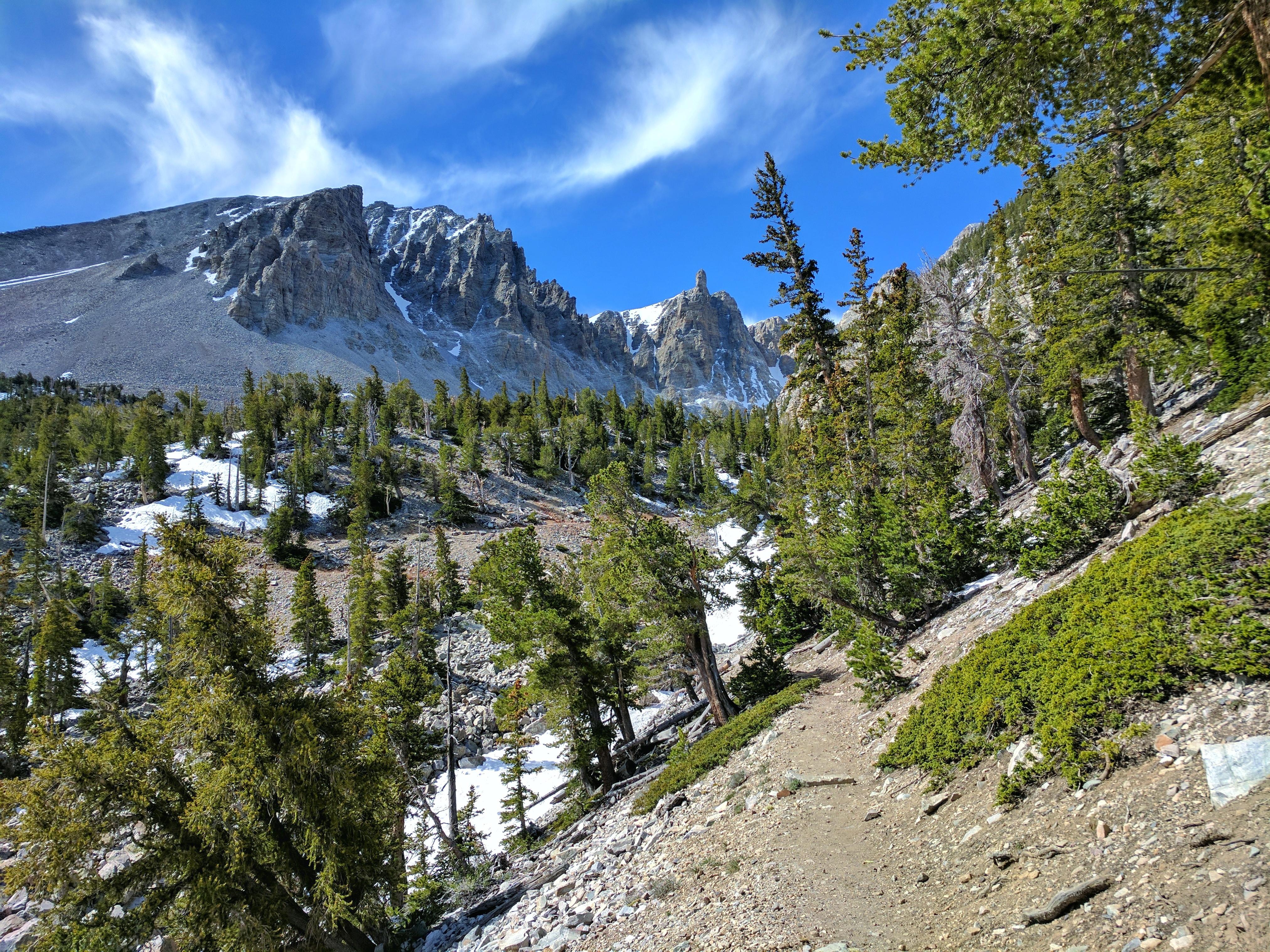
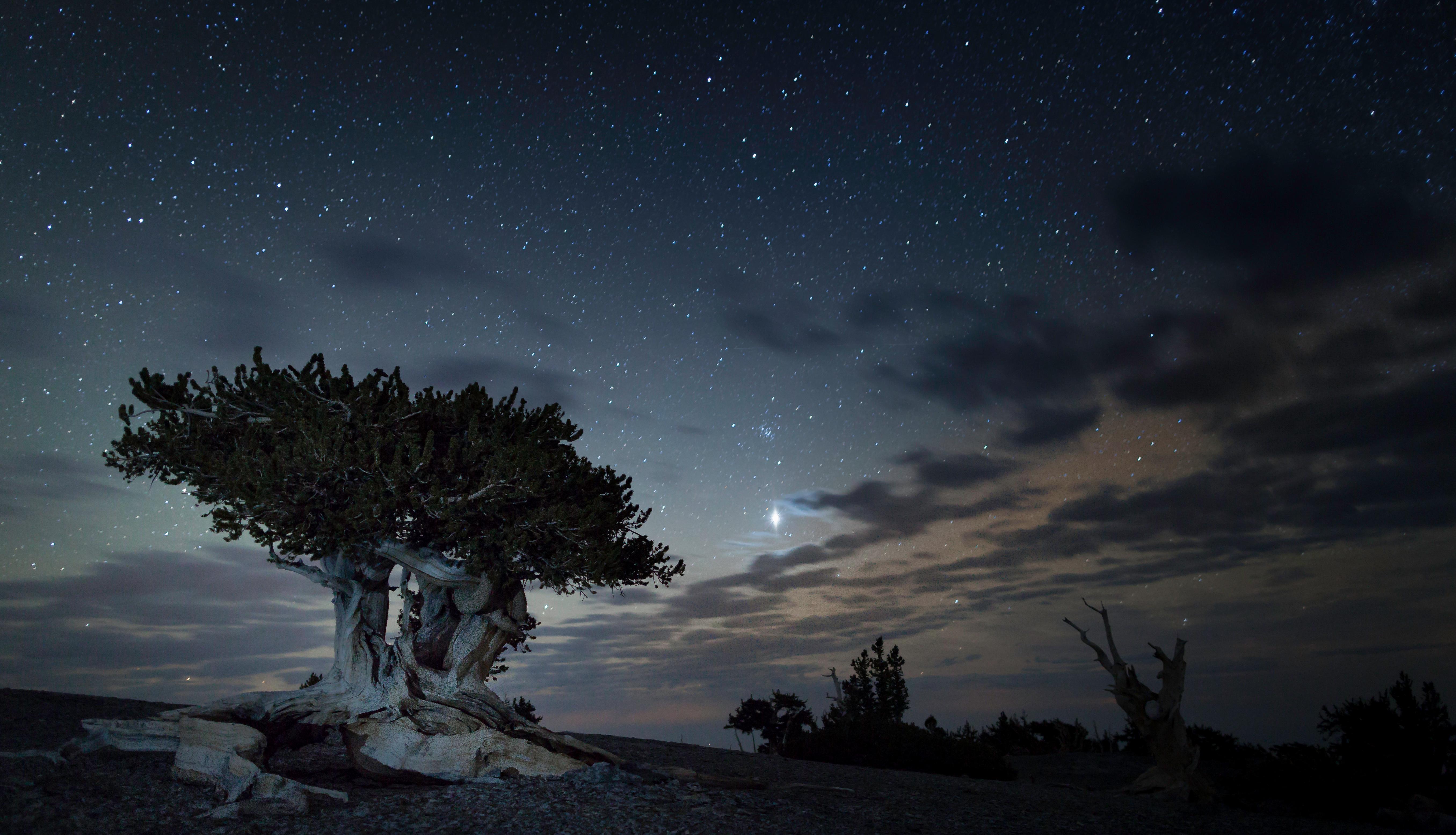
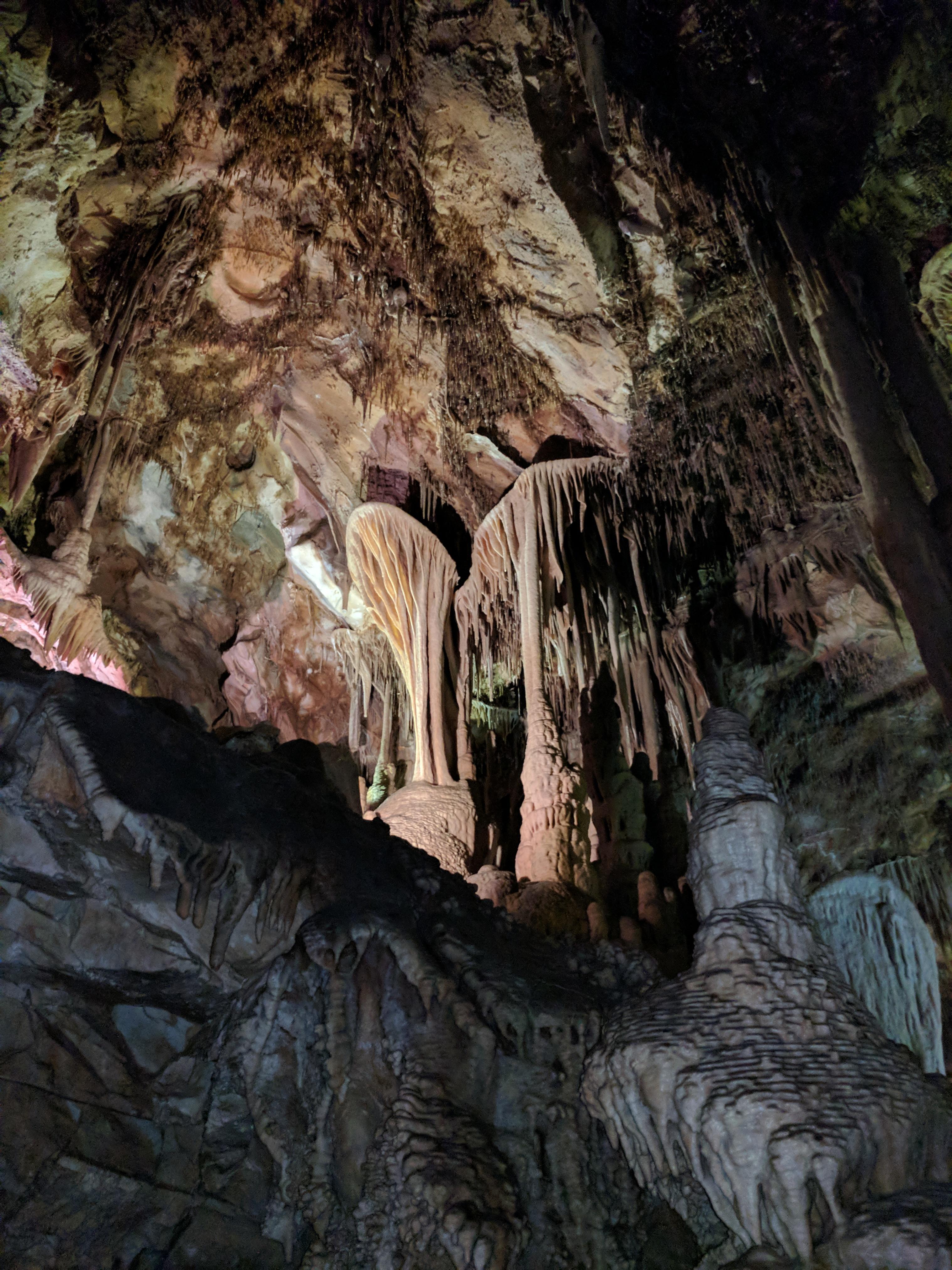
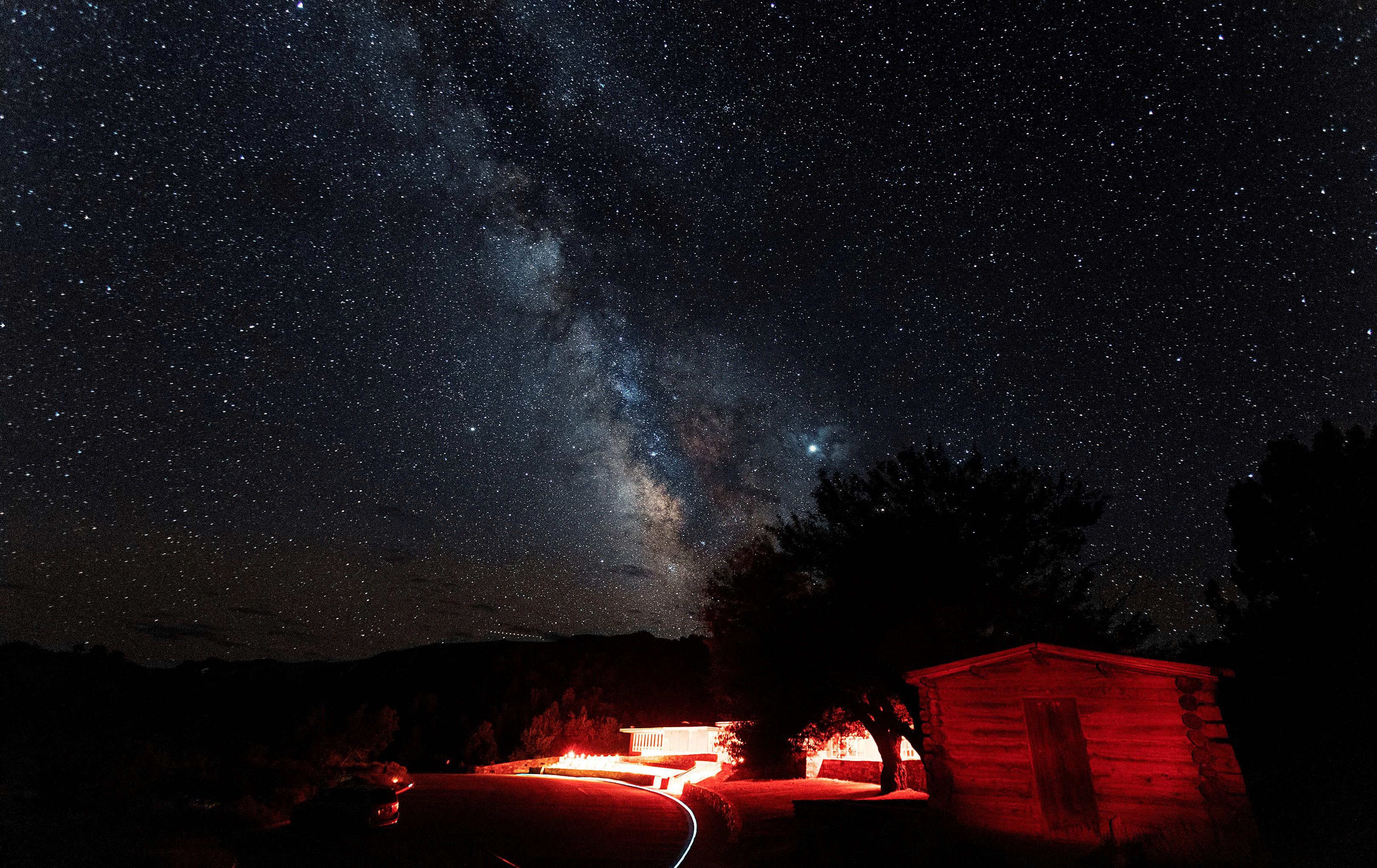
Wheeler Peak rises sharply out of the sagebrush desert, offering high-altitude hiking and ancient bristlecone pine groves. You can spend your days wandering through limestone caves or watching the stars from some of the darkest skies in the country.
Updated
Charging at a glance
- Closest listed charger: 14.0 km (L2)
- Closest listed DC fast charger: 21.8 km
- Networks listed: Rivian Waypoints L2 Network
From the Open Charge Map listings under Charging nearby.
Quick Facts
Notable for: incredible diversity of the larger Great Basin region, ancient bristlecone pines, darkest of night skies, and mysterious subterranean passages
Founded: 1986
Elevation: 13,063-foot
Camping and fees
- Entry fee
- : no entrance feeSource: www.nps.gov
Seasons
- Road closure (From November)The Wheeler Peak Scenic Drive generally closes by November 1 after the first heavy snowfall of the season.Source: www.nps.gov
- Season note (From October)The Great Basin Visitor Center in Baker generally closes in mid-October.Source: www.nps.gov
Activities
- Hiking
- Stargazing
- Camping
Source: www.nps.gov
Charging nearby
Charging data from Open Charge Map
- L214.0 km
- L214.0 km
Baker Site - Border Inn
View on Open Charge MapDC Fast21.8 km
Camp and charge reports
No reports yet - be the first to share what you found.
Sign in to add a reportWorth the detour?
No verdicts yet - be the first who's been there.
Sign in to leave a verdictAttribution
- nps.gov
- nps.gov
- nps.gov
- NPS - National Park Service
- National Park Service - National Park Service, U.S. Department of the Interior
- Recreation.gov (RIDB) - Recreation Information Database (RIDB)
- Wikidata - Wikidata / Wikimedia Commons
- Wikipedia - Wikipedia (CC BY-SA)