

About
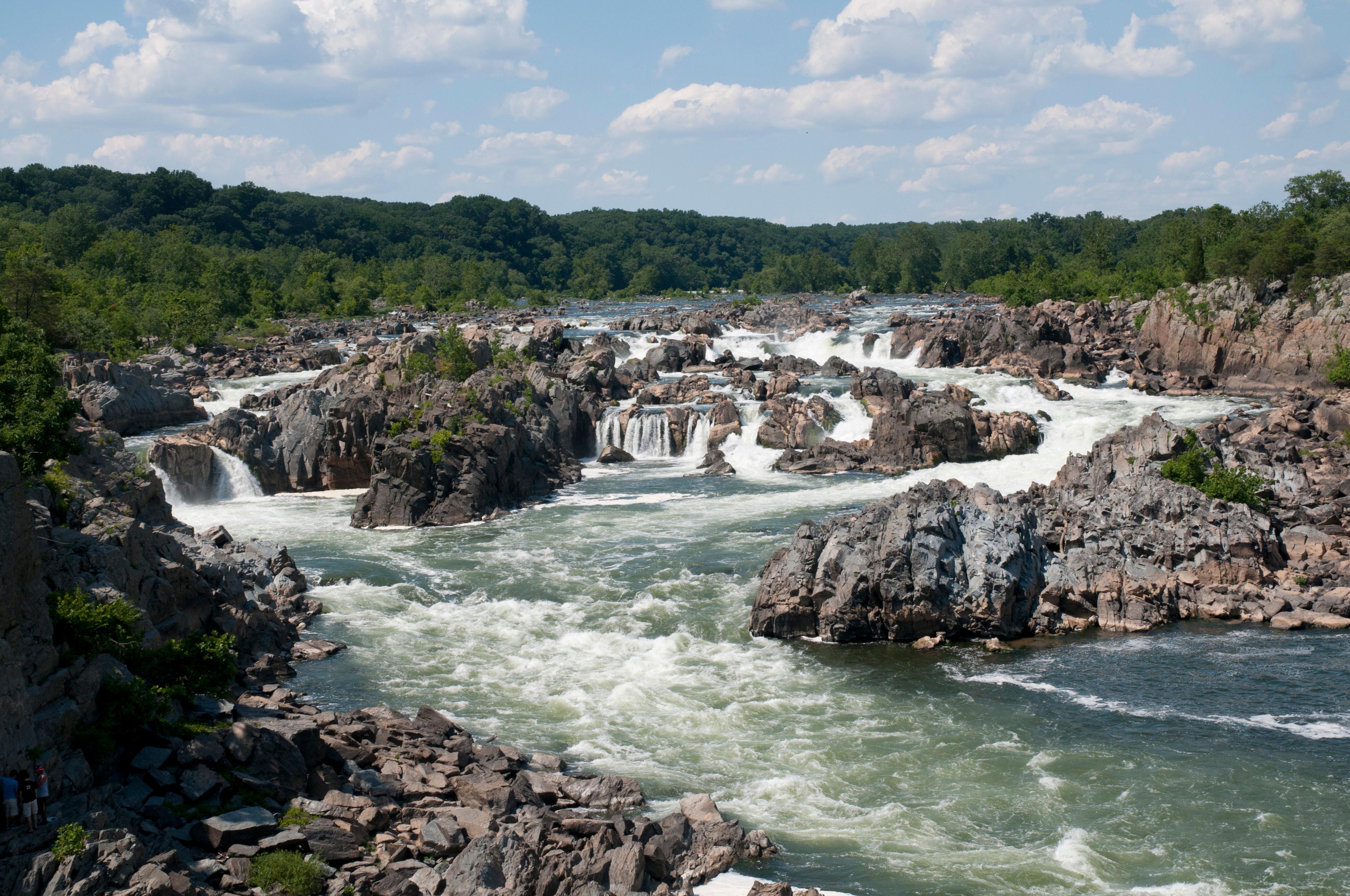
The Potomac River crashes through the narrow Mather Gorge and over jagged rock formations here. You can hike the 800-acre trails or check out the old Patowmack Canal just a short drive from D.C.
Updated
Charging at a glance
- Closest listed charger: 4.8 km (L2)
- Closest listed DC fast charger: 5.0 km
- Networks listed: Electrify America
From the Open Charge Map listings under Charging nearby.
Quick Facts
Notable for: the Potomac River builds up speed and force as it falls over a series of steep, jagged rocks and flows through the narrow Mather Gorge
Camping and fees
- Reservations
- : no reservations needed for picnicsSource: www.nps.gov
- Camping
- : camping not permittedSource: en.wikipedia.org
Charging nearby
Charging data from Open Charge Map
Potomac Place Shopping Center
View on Open Charge MapL24.8 kmPotomac Place Shopping Center
View on Open Charge MapL24.8 kmPotomac Village Shopping Center
View on Open Charge MapL24.9 km- DC Fast5.0 km
Wolf Trap - Maintenance Yard
View on Open Charge MapL25.7 km
Worth the detour?
No verdicts yet - be the first who's been there.
Sign in to leave a verdictAttribution
- en.wikipedia.org
- nps.gov
- NPS - National Park Service
- National Park Service - National Park Service, U.S. Department of the Interior
- Recreation.gov (RIDB) - Recreation Information Database (RIDB)
- Wikidata - Wikidata / Wikimedia Commons
- Wikipedia - Wikipedia (CC BY-SA)