

About
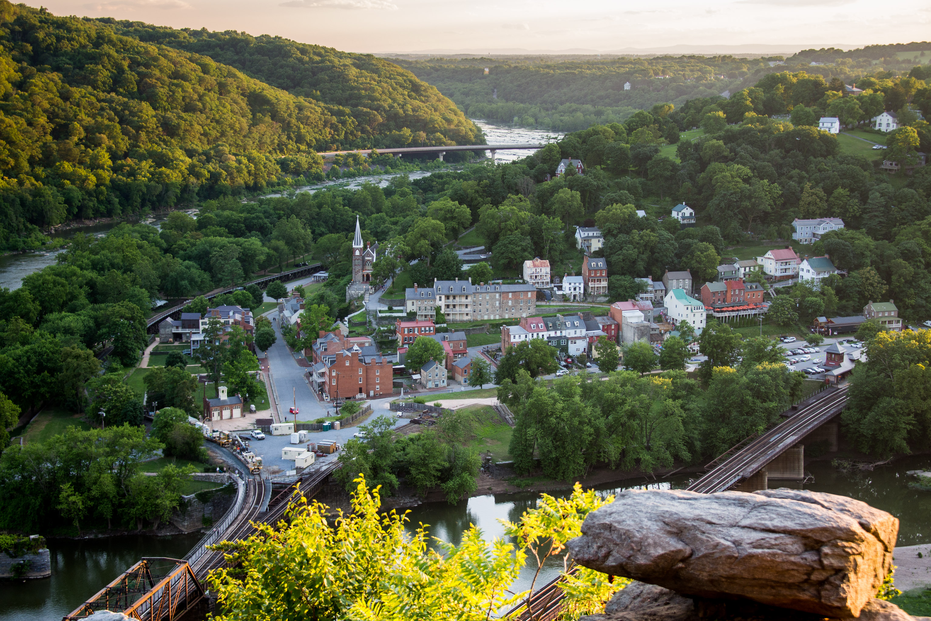
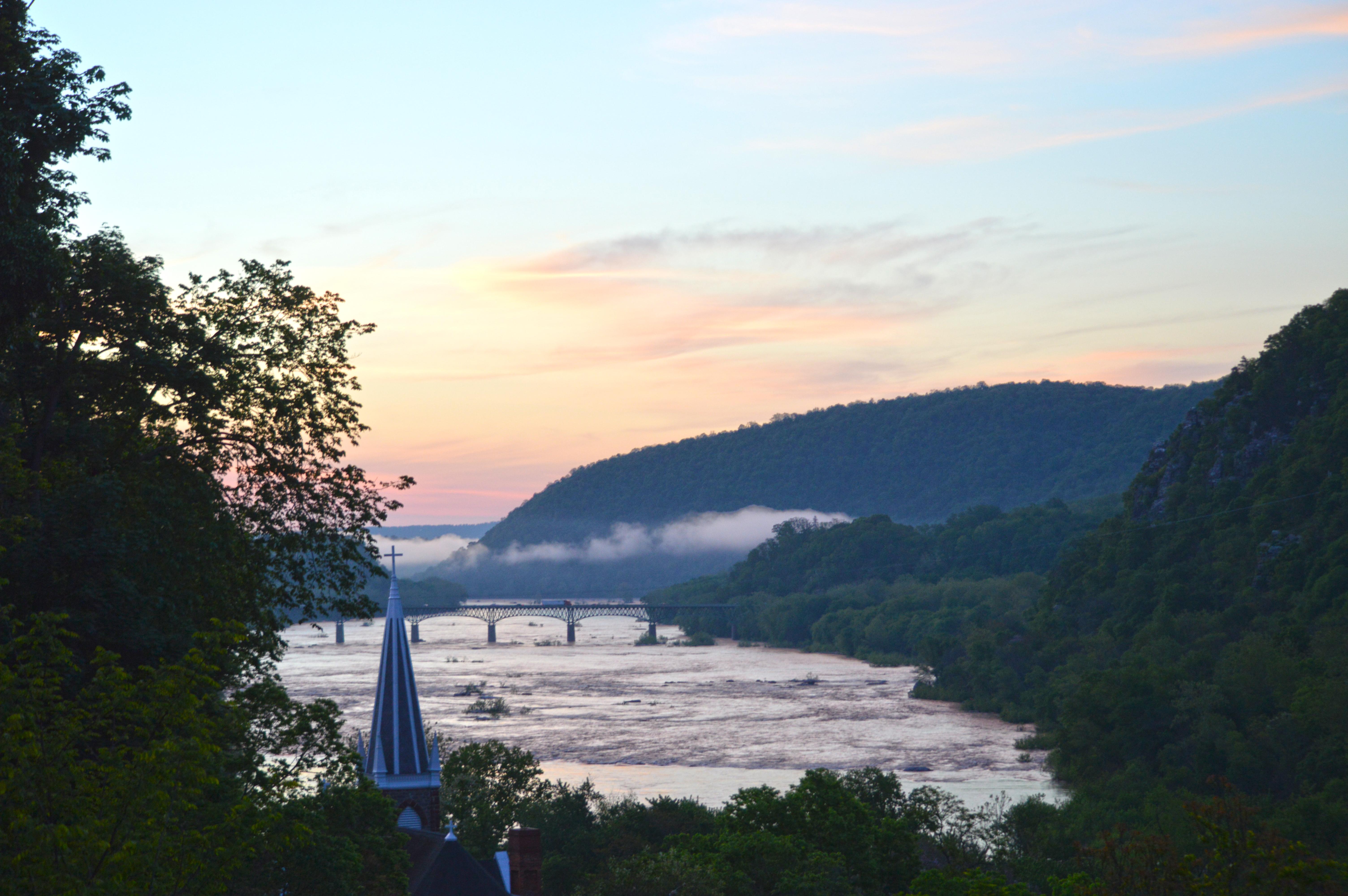
The Potomac and Shenandoah rivers meet right here, carving through steep hills and old battlefield sites. You can hike the Blue Ridge trails or walk through the historic town to see the sites of John Brown's raid and 19th-century industrial ruins.
Updated
Charging at a glance
- Closest listed charger: 2.2 km (L2)
From the Open Charge Map listings under Charging nearby.
Quick Facts
Notable for: key 19th-century industrial area and as the scene of John Brown's failed abolitionist uprising
Founded: 1944
Activities
- Hiking
Source: www.nps.gov
Charging nearby
Charging data from Open Charge Map
Clarion Inn Conference Center
View on Open Charge MapL22.2 kmHarpers Ferry Advanced Training Center
View on Open Charge MapL23.9 kmPOTOMAC EDISON BRUNSWICK
View on Open Charge MapL29.8 kmHollywood Casino - East Garage
View on Open Charge MapL29.8 km
Worth the detour?
No verdicts yet - be the first who's been there.
Sign in to leave a verdictAttribution
- nps.gov
- nps.gov
- NPS - National Park Service
- National Park Service - National Park Service, U.S. Department of the Interior
- Recreation.gov (RIDB) - Recreation Information Database (RIDB)
- Wikidata - Wikidata / Wikimedia Commons
- Wikipedia - Wikipedia (CC BY-SA)