About
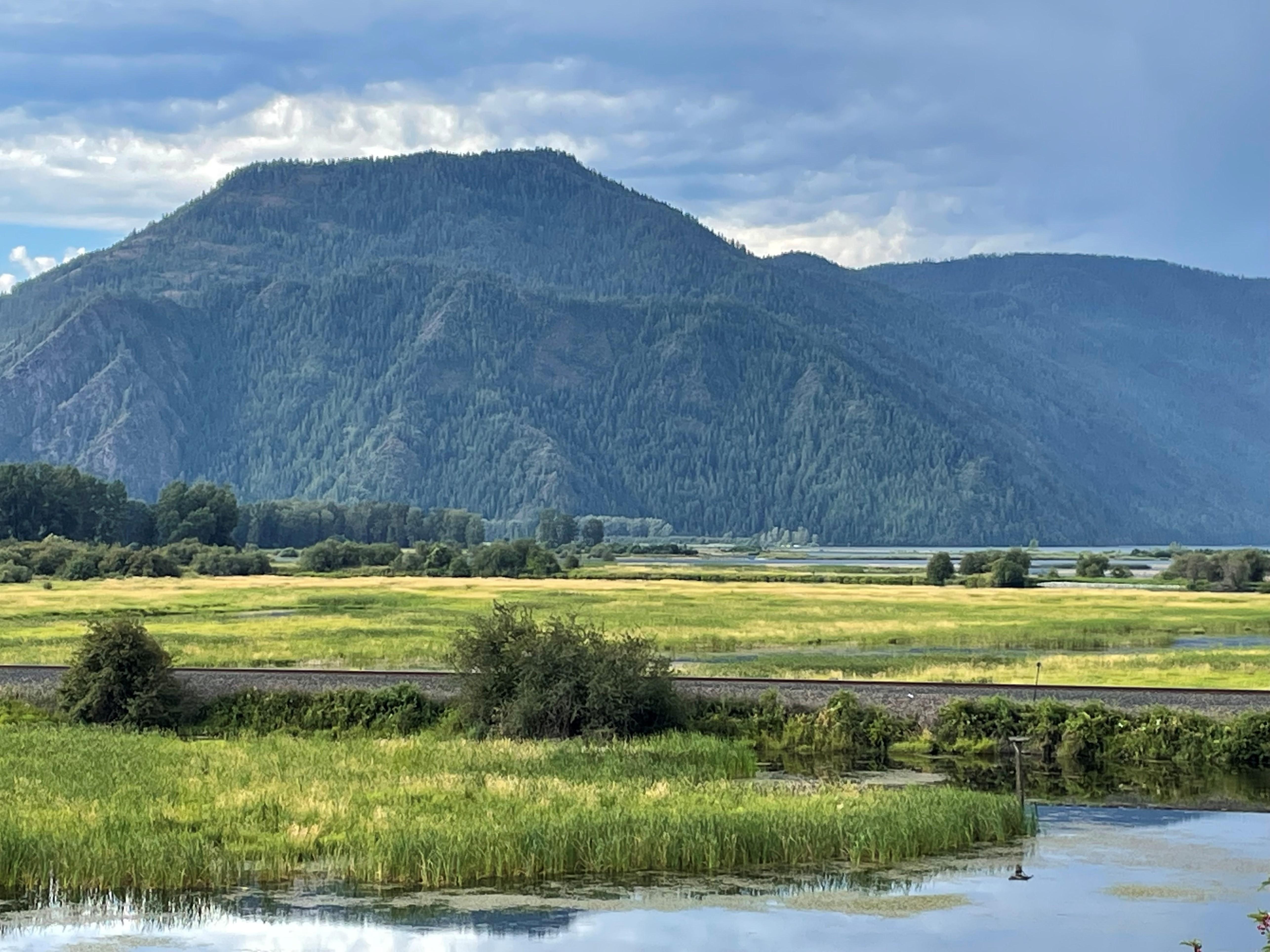
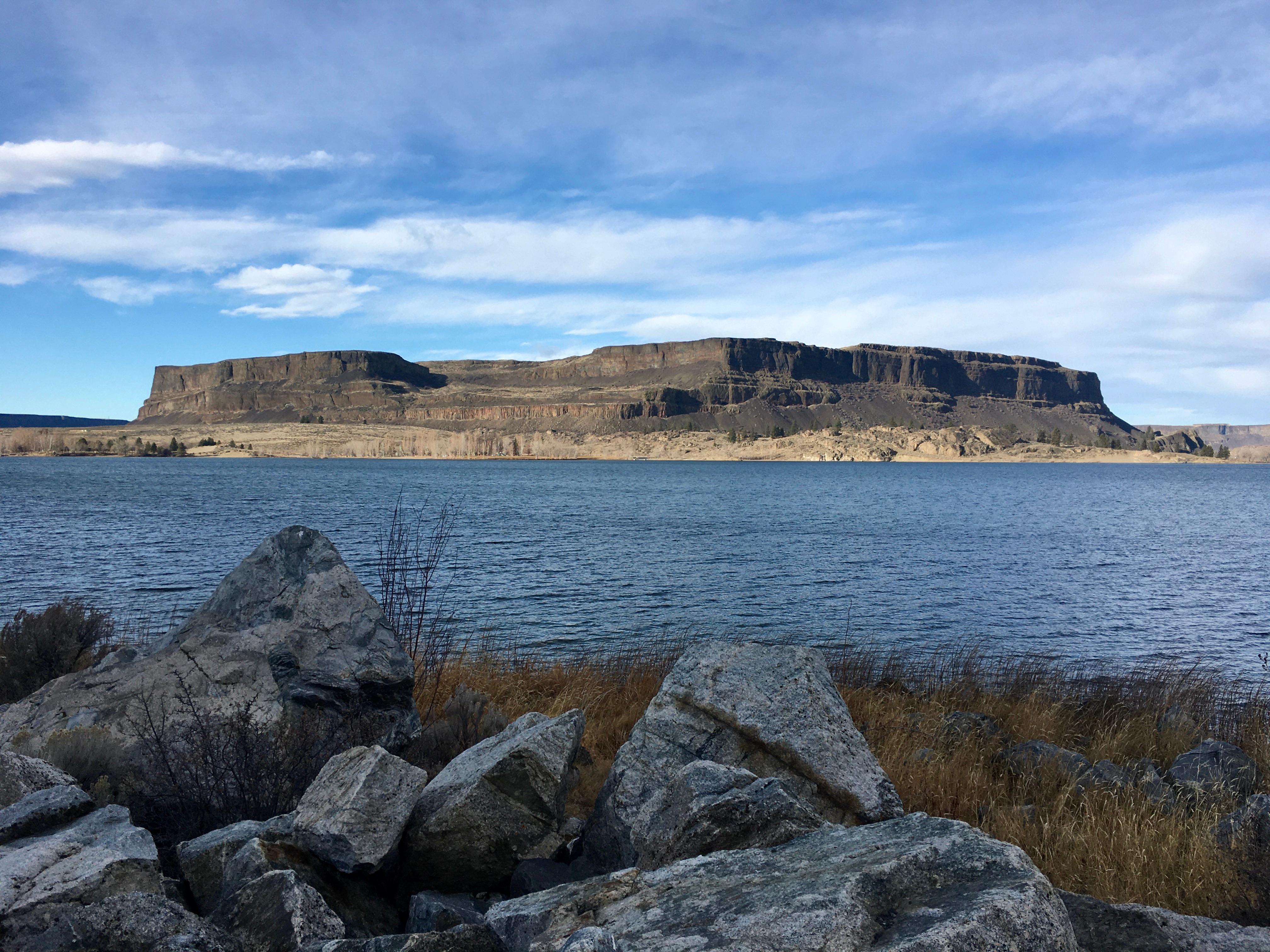
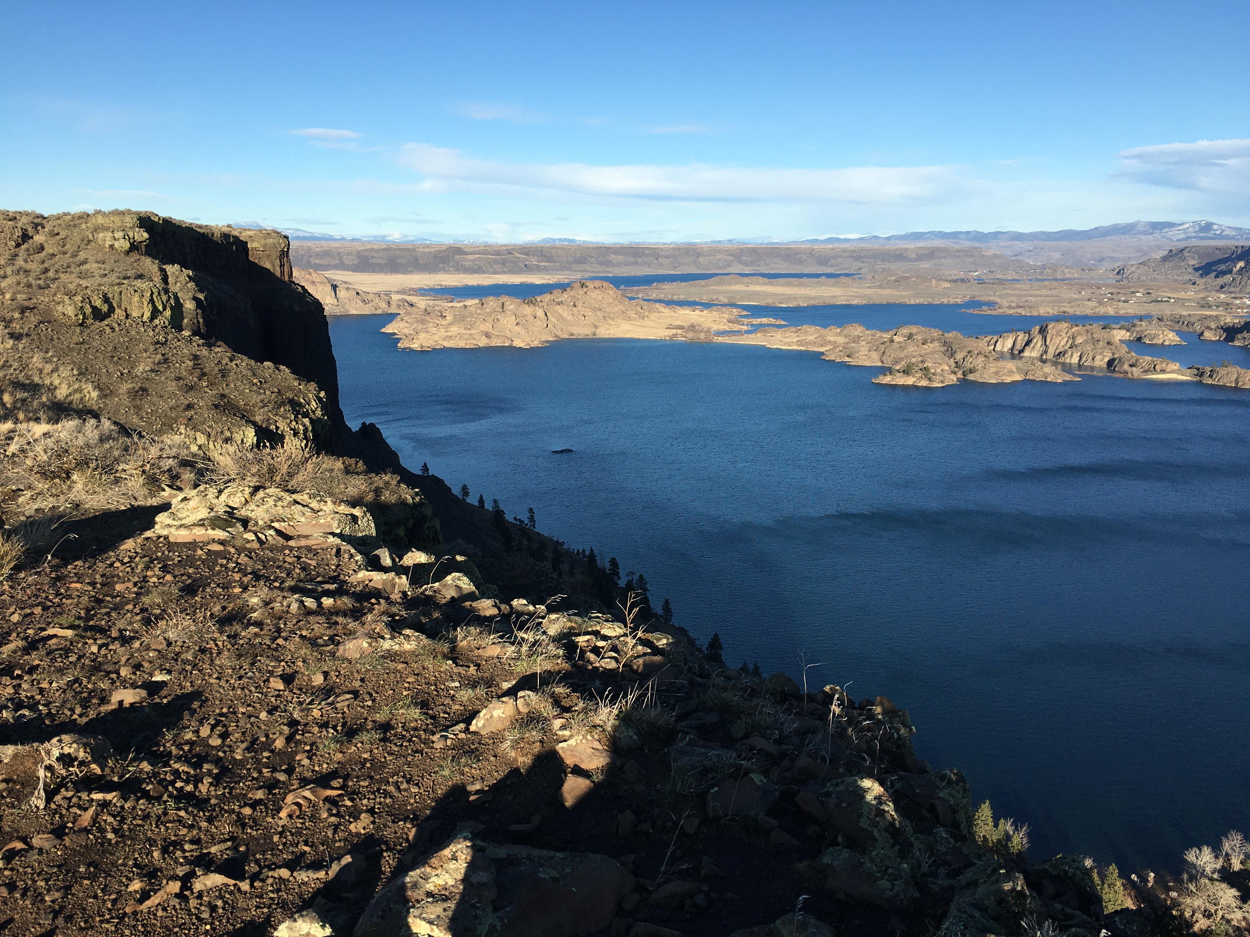
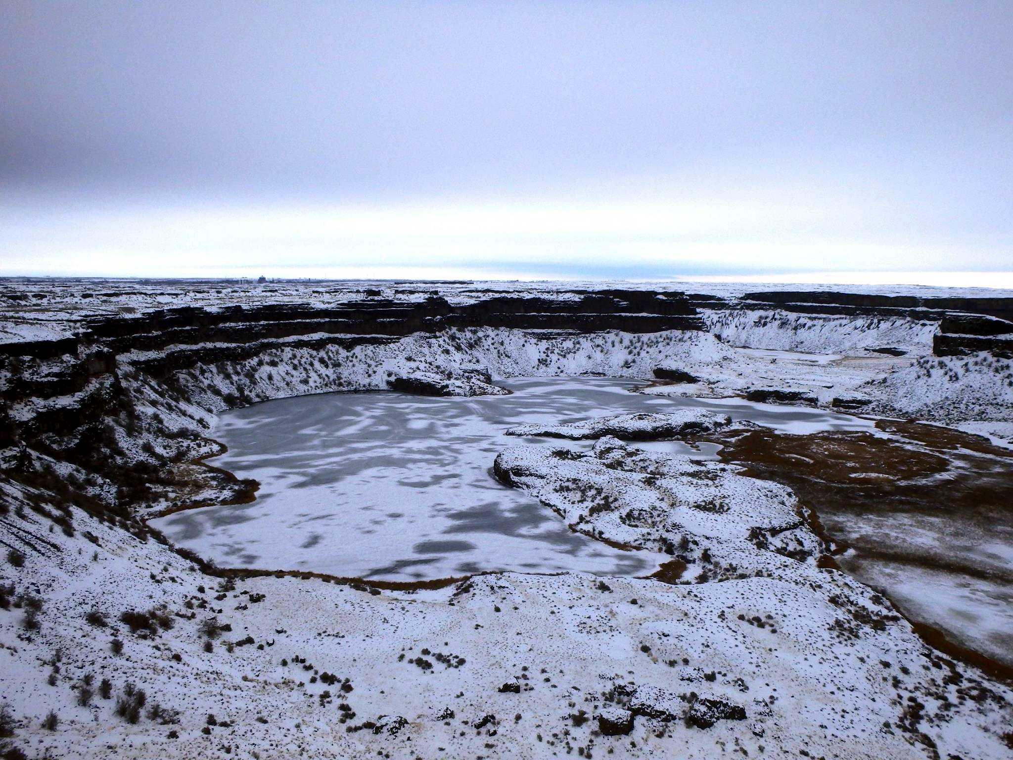
You can trace the massive scars left in the Washington landscape by ancient floodwaters that once tore through the Columbia River basin. This trail follows the path of the catastrophic Missoula floods, showing you exactly where the water carved out the dry canyons and coulees.
Updated
Quick Facts
Notable for: the end of the last Ice Age and the release of flood waters from Glacial Lake Missoula
Founded: 2009
Worth the detour?
No verdicts yet - be the first who's been there.
Sign in to leave a verdictAttribution
- parks.wa.gov
- NPS - National Park Service
- National Park Service - National Park Service, U.S. Department of the Interior
- Recreation.gov (RIDB) - Recreation Information Database (RIDB)
- Washington State Parks
- Wikidata - Wikidata / Wikimedia Commons
- Wikipedia - Wikipedia (CC BY-SA)

 City / Town