About
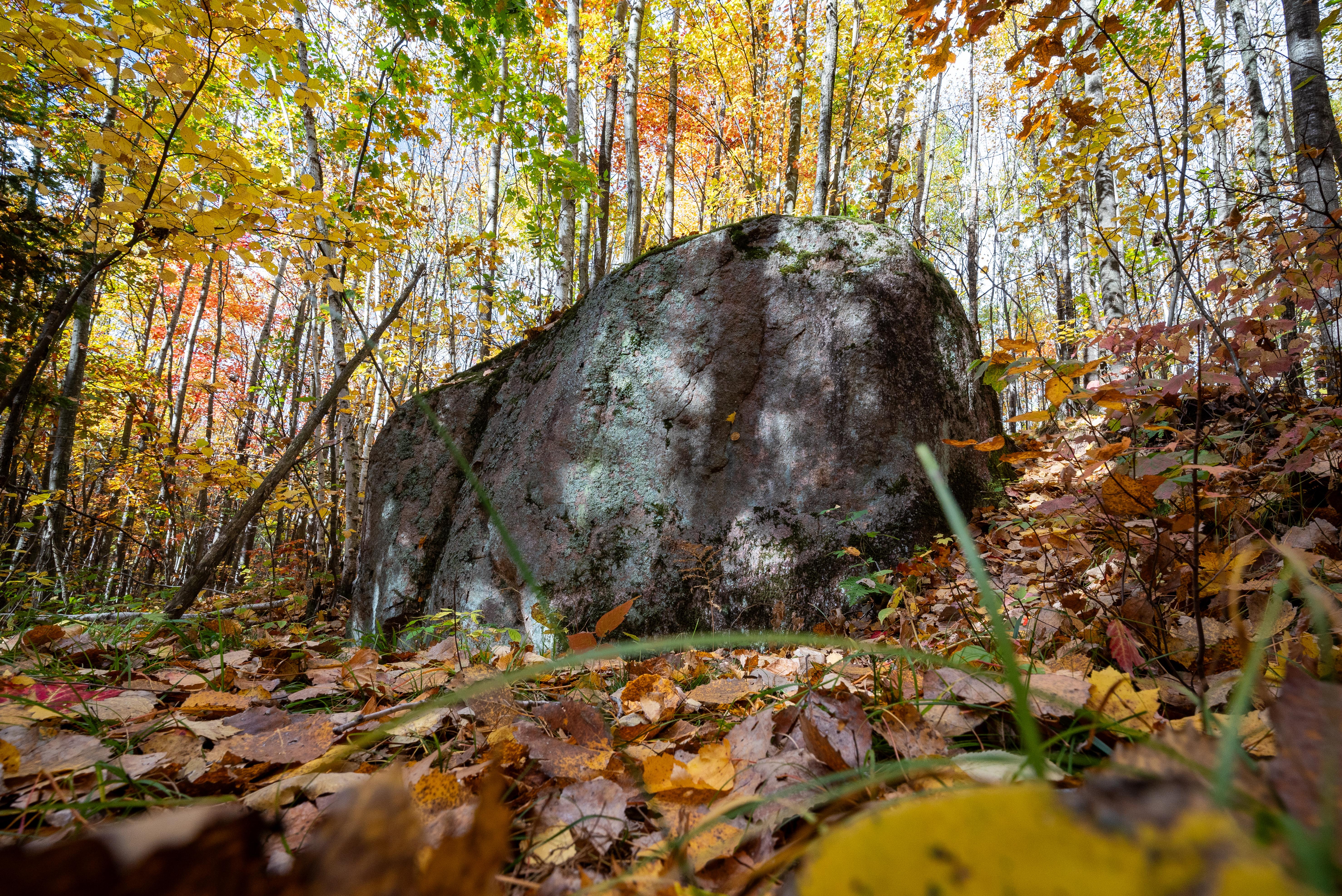
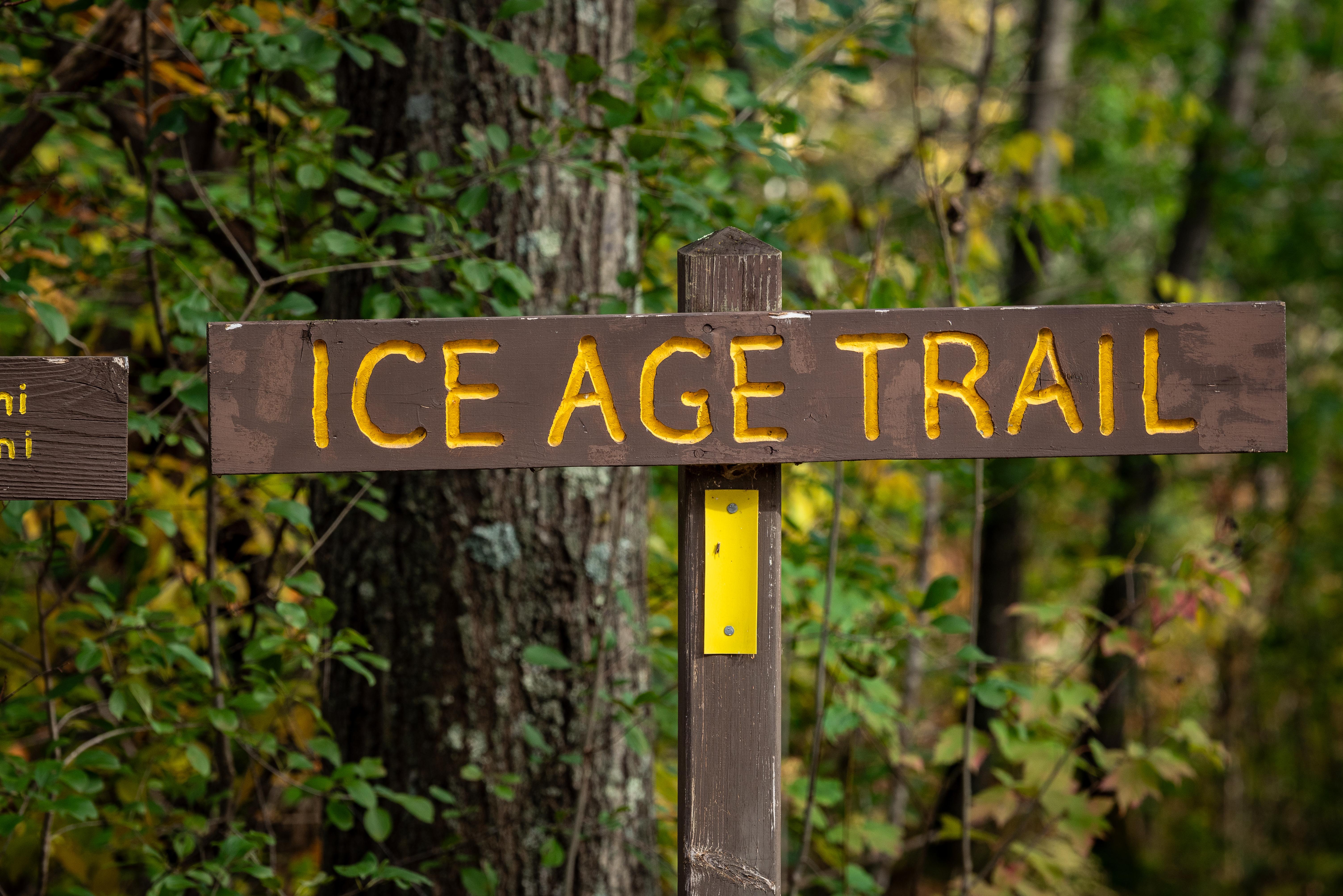
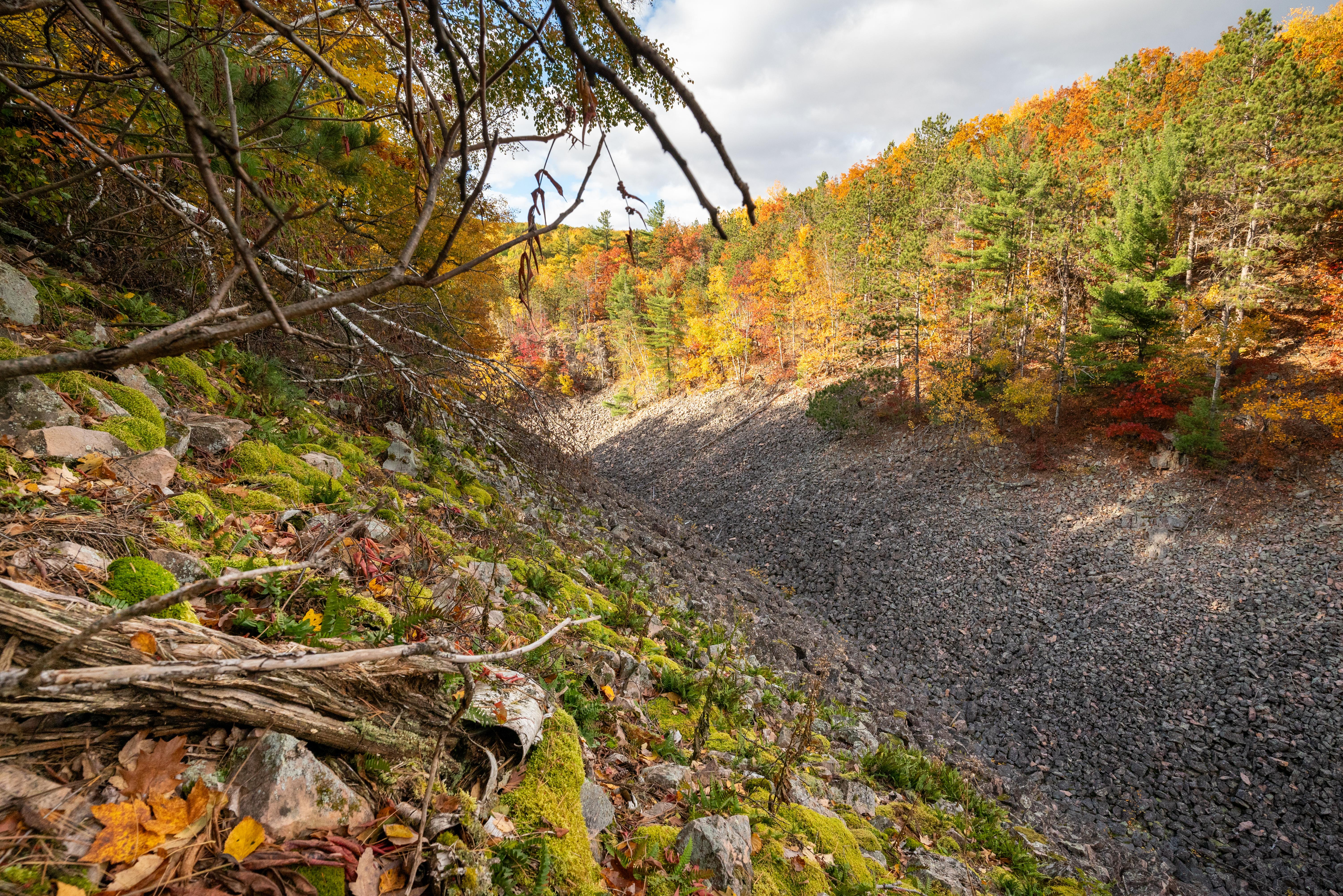
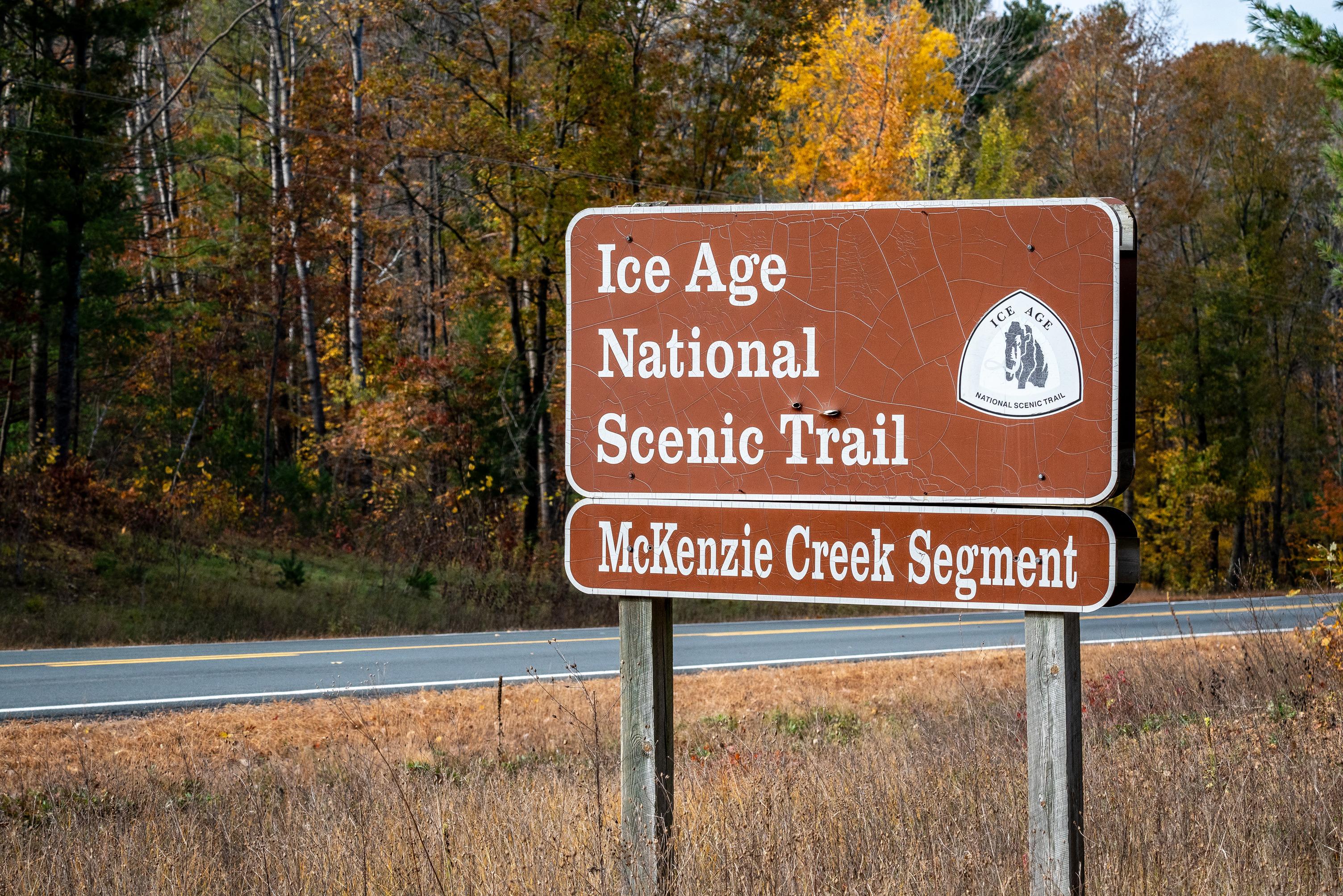
This 1,200-mile trail cuts through Wisconsin's glacial landscapes, tracing the path left behind by retreating ice sheets. You can hike past moraines and kettle lakes while passing through the ancestral lands of 15 different Tribes.
Updated
Charging at a glance
- Closest listed charger: 5.7 km (DC Fast)
- Closest listed DC fast charger: 5.7 km
From the Open Charge Map listings under Charging nearby.
Quick Facts
Notable for: topography left by glaciation in the Last Ice Age
Founded: 1980
Activities
- Hiking
- Skiing
Source: dnr.wisconsin.gov
Charging nearby
Charging data from Open Charge Map
Wheelers Chevrolet of Coloma
View on Open Charge MapDC Fast5.7 kmVillage of Westfield
View on Open Charge MapL212.6 kmPioneer Park Plaza
View on Open Charge MapL212.9 kmFCI Oxford
View on Open Charge MapL215.4 kmKwik Trip #845
View on Open Charge MapL124.1 km
Worth the detour?
No verdicts yet - be the first who's been there.
Sign in to leave a verdictAttribution
- dnr.wisconsin.gov
- NPS - National Park Service
- National Park Service - National Park Service, U.S. Department of the Interior
- Recreation.gov (RIDB) - Recreation Information Database (RIDB)
- Wikidata - Wikidata / Wikimedia Commons
- Wikipedia - Wikipedia (CC BY-SA)