About
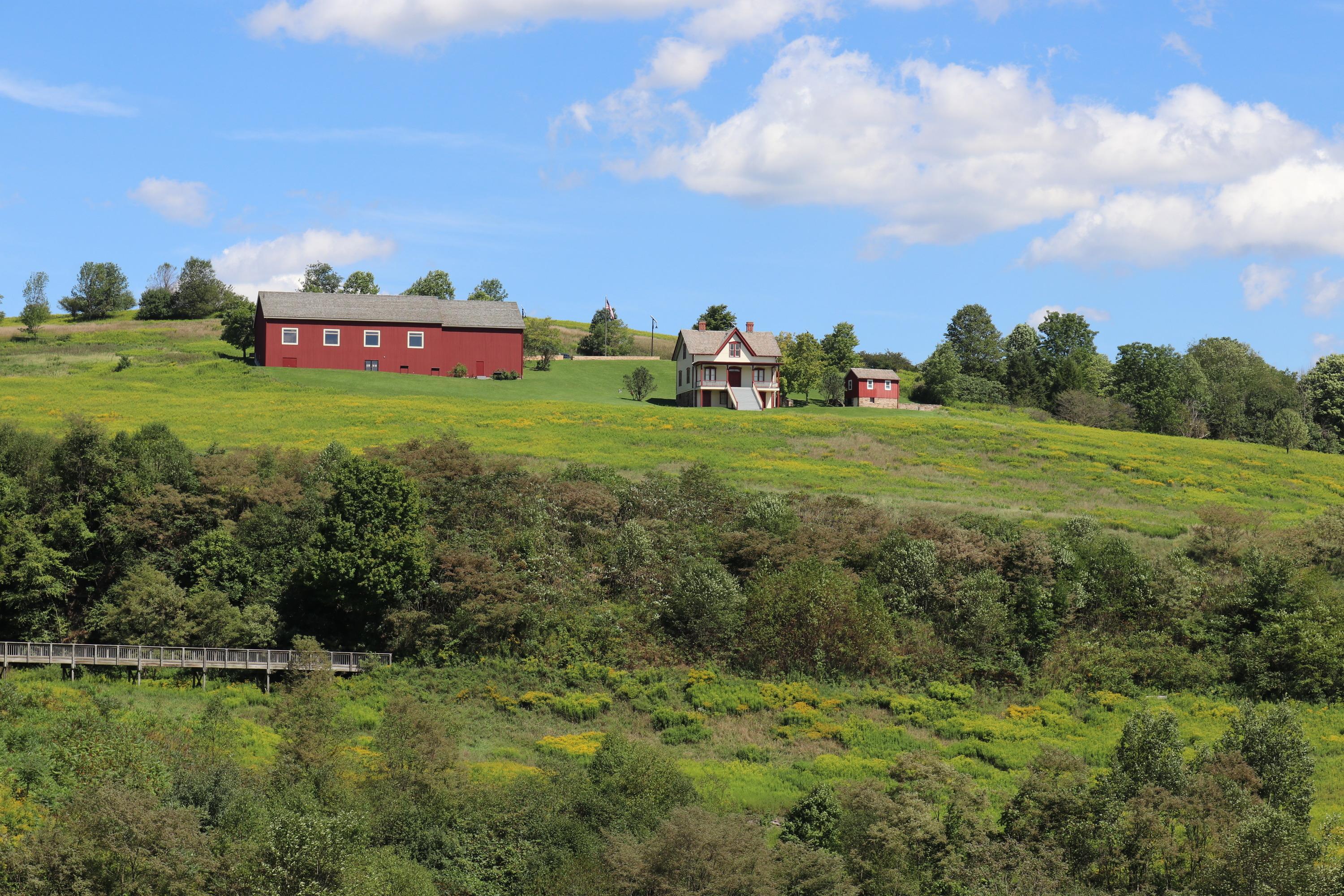
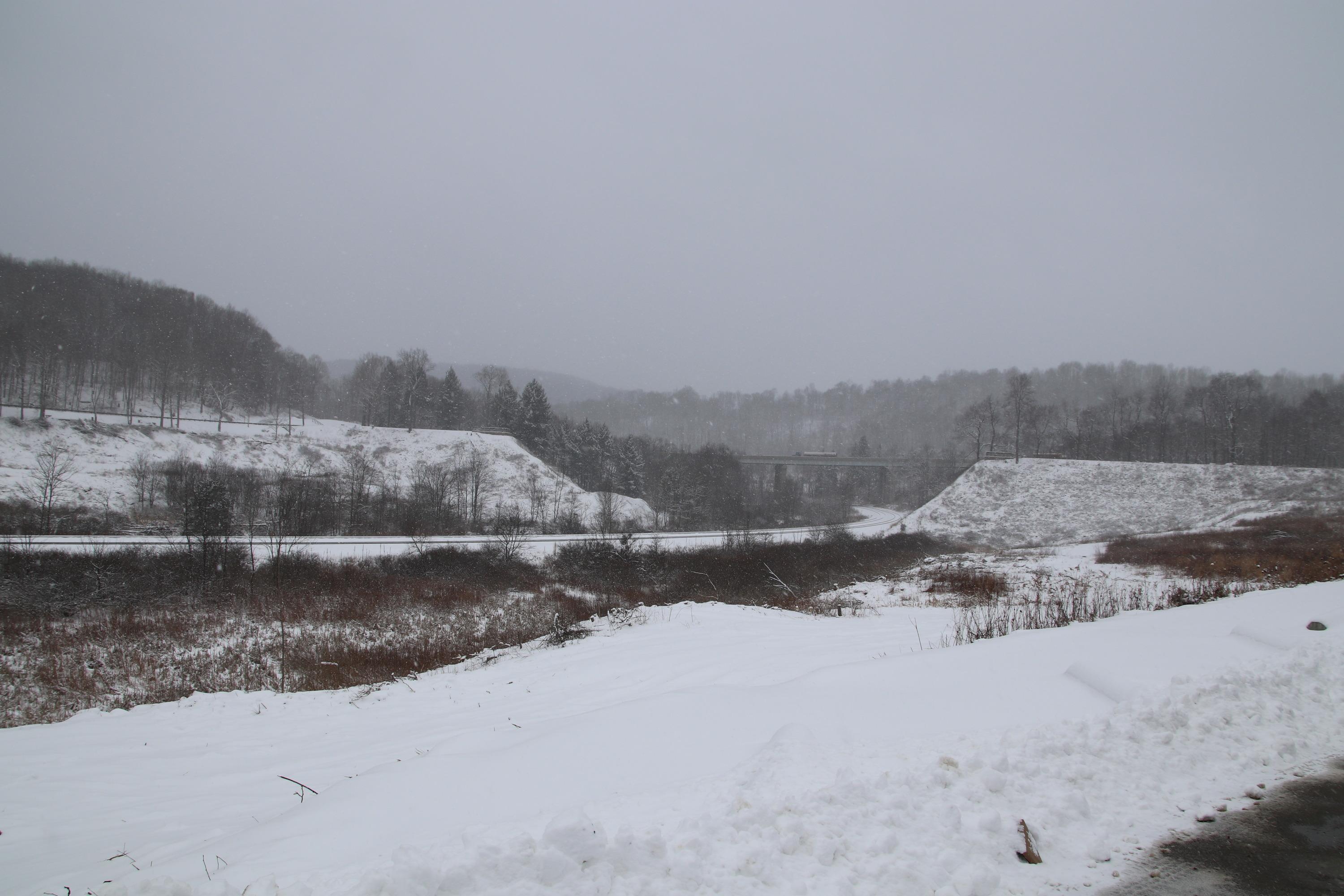
You can walk the site of the old South Fork Dam where the massive wall of water broke through in 1889. It is a somber stretch of hills and valley that marks exactly where the floodwaters tore toward Johnstown.
Updated
Charging at a glance
- Closest listed charger: 9.0 km (L2)
- Networks listed: Tesla (Tesla-only charging)
From the Open Charge Map listings under Charging nearby.
Quick Facts
Notable for: pays tribute to the thousands of victims of the Johnstown Flood
Founded: September 2, 1964
Camping and fees
- Entry fee
- : No entrance feeSource: www.nps.gov
Charging nearby
Charging data from Open Charge Map
Verizon / Johnstown
View on Open Charge MapL29.0 kmMetLife - Johnstown
View on Open Charge MapL29.6 kmKeith W. Fetzer, CPA dba Fetzer Financial - Tesla Destination
Tesla (Tesla-only charging)
View on Open Charge MapL210.1 kmLaurel Nissan
View on Open Charge MapL210.7 kmHOLIDAY INN E S
View on Open Charge MapL210.9 km
Worth the detour?
No verdicts yet - be the first who's been there.
Sign in to leave a verdictAttribution
- en.wikipedia.org
- nps.gov
- NPS - National Park Service
- National Park Service - National Park Service, U.S. Department of the Interior
- Recreation.gov (RIDB) - Recreation Information Database (RIDB)
- Wikidata - Wikidata / Wikimedia Commons
- Wikipedia - Wikipedia (CC BY-SA)

 State Park