About
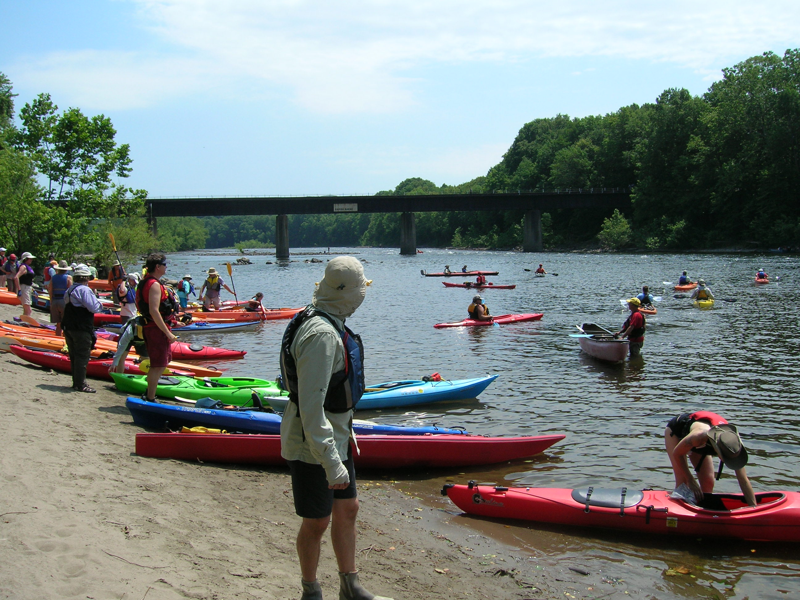
The lower Delaware River cuts through a mix of dense forests, quiet farmlands, and small river towns. It is the largest free-flowing river in the eastern US, making it a solid stretch for anyone looking to paddle or drive along the water.
Updated
Charging at a glance
- Closest listed charger: 1.0 km (L2)
- Networks listed: Tesla (Tesla-only charging)
From the Open Charge Map listings under Charging nearby.
Quick Facts
Notable for: the largest free-flowing river in the eastern United States
Founded: 2000
Camping and fees
- Entry fee
- : No feeSource: www.nps.gov
Charging nearby
Charging data from Open Charge Map
- L21.0 km
TWPCOMPLEX SOLEBURY TOWNSH
View on Open Charge MapL23.0 kmFPC N UNION ST1
View on Open Charge MapL24.0 km
Worth the detour?
No verdicts yet - be the first who's been there.
Sign in to leave a verdictAttribution
- nps.gov
- nps.gov
- nps.gov
- NPS - National Park Service
- National Park Service - National Park Service, U.S. Department of the Interior
- Recreation.gov (RIDB) - Recreation Information Database (RIDB)
- Wikidata - Wikidata / Wikimedia Commons
- Wikipedia - Wikipedia (CC BY-SA)