

About
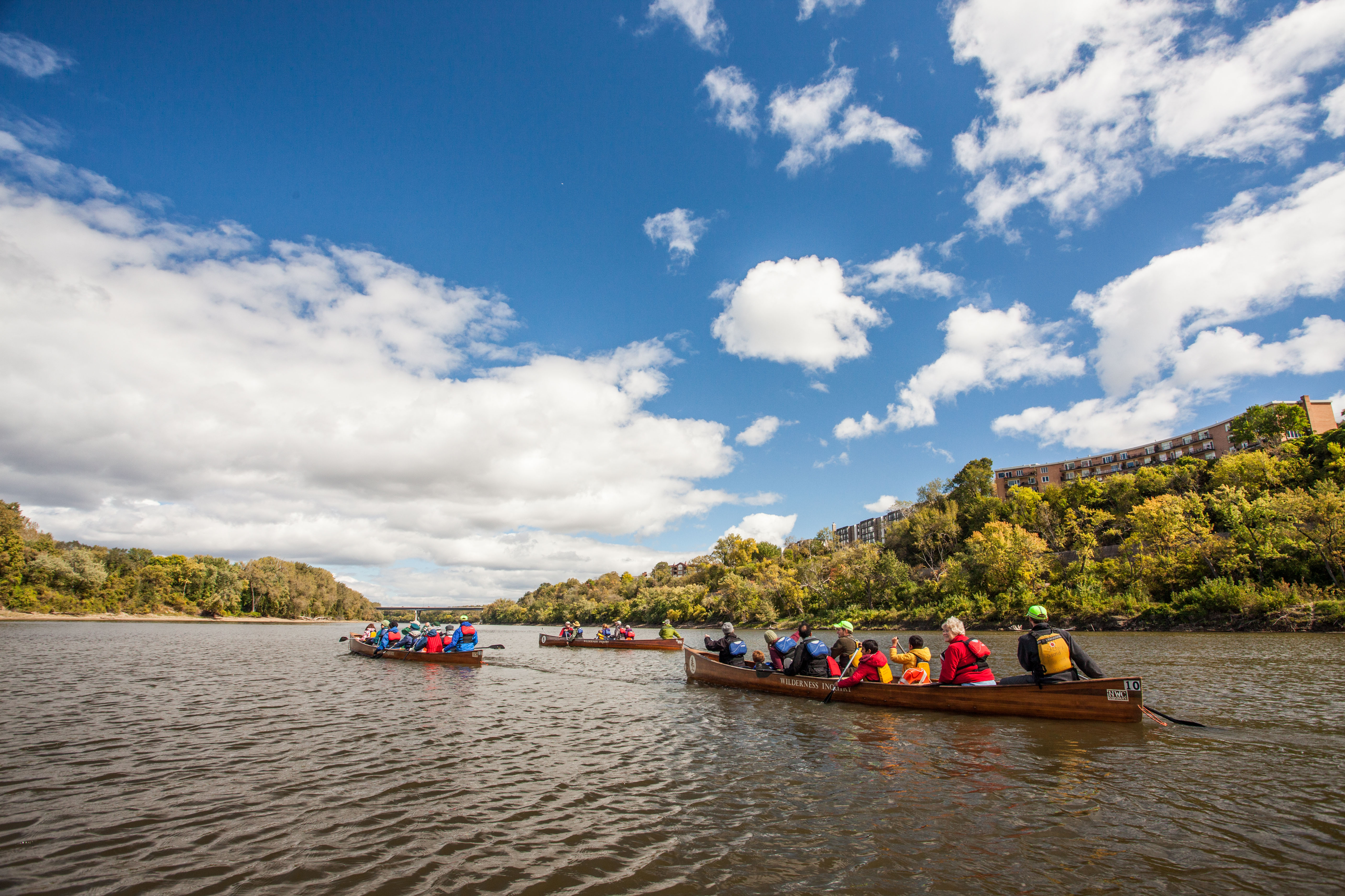
You can paddle or bike through seventy-two miles of river corridor that cuts right through the middle of Minnesota's urban sprawl. It is a solid spot to grab a canoe and spend the day fishing or tracking birds along the water's edge.
Updated
Charging at a glance
- Closest listed charger: 0.0 km (L2)
From the Open Charge Map listings under Charging nearby.
Quick Facts
Notable for: quiet stretches for fishing, boating and canoeing, birdwatching, bicycling, and hiking
Founded: November 18, 1988
Charging nearby
Charging data from Open Charge Map
SMM SMM 1
View on Open Charge MapL20.0 kmSMM SMM UNIT 2 & 3
View on Open Charge MapL20.0 kmCITY OF ST PAUL RIVER CENTRE 3
View on Open Charge MapL20.1 kmCITY OF ST PAUL RIVER CENTRE 1
View on Open Charge MapL20.2 kmCITY OF ST PAUL UPPER LANDING
View on Open Charge MapL20.2 km
Worth the detour?
No verdicts yet - be the first who's been there.
Sign in to leave a verdictAttribution
- nps.gov
- NPS - National Park Service
- National Park Service - National Park Service, U.S. Department of the Interior
- Recreation.gov (RIDB) - Recreation Information Database (RIDB)
- Wikidata - Wikidata / Wikimedia Commons