About
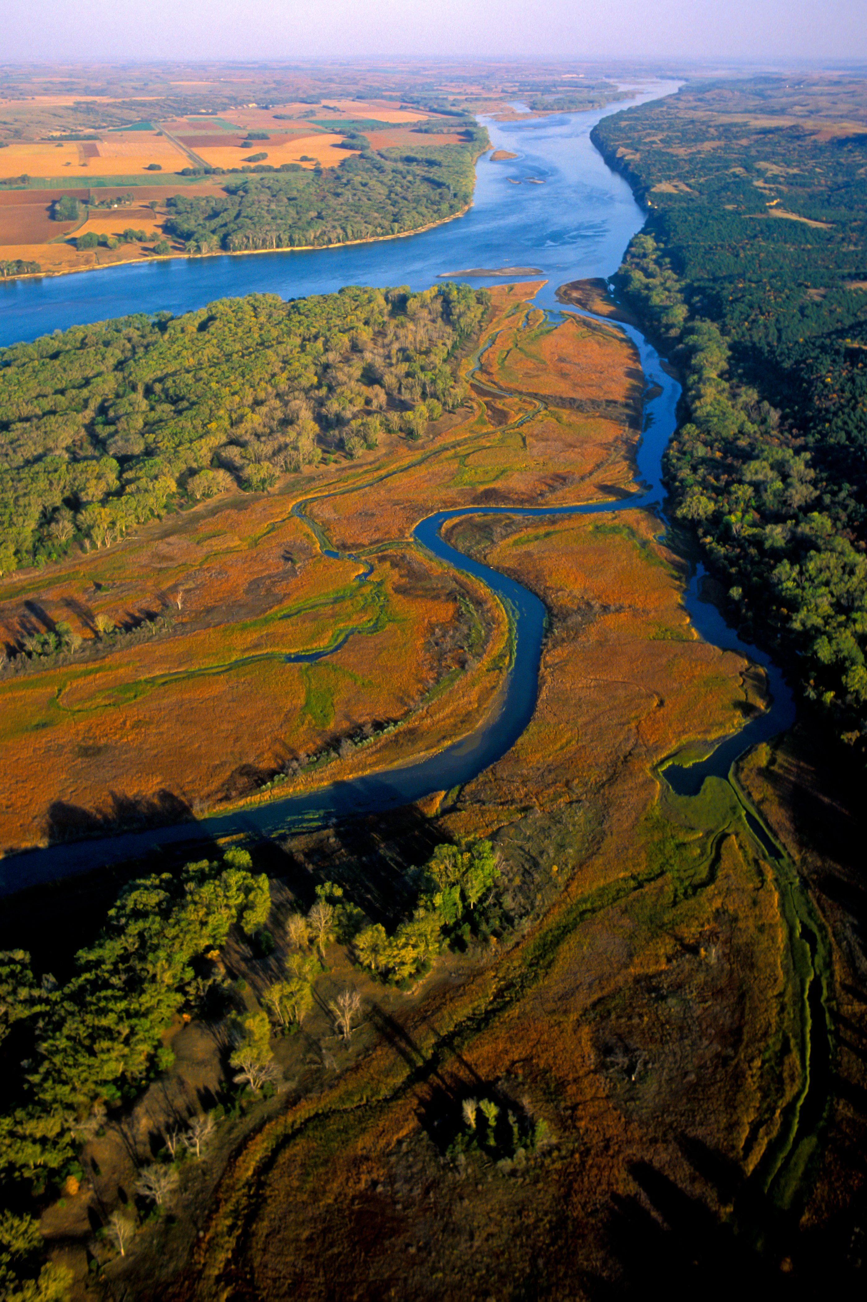
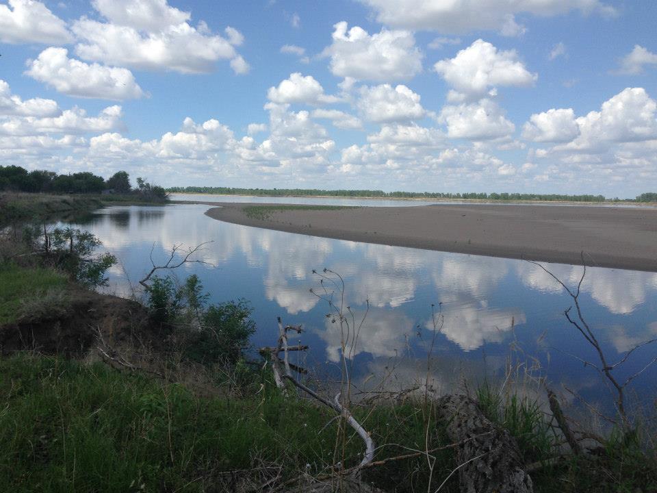
You can find nearly 100 miles of free-flowing, undammed water stretching across the Nebraska and South Dakota border. It is one of the few places left where the river still moves through its natural, unchannelized bends, making it a prime spot for anyone looking to paddle through actual wild terrain.
Updated
Charging at a glance
- Closest listed charger: 19.2 km (L1)
From the Open Charge Map listings under Charging nearby.
Quick Facts
Notable for: the only parts of the river between Montana and the mouth of the Missouri that remain undammed or unchannelized
Camping and fees
- Entry fee
- : freeSource: www.nps.gov
Seasons
- Season note (May to September)May to late September is generally the peak season for paddling, boating, camping, attending ranger-led activities, and more!Source: www.nps.gov
- Wildflowers (August to August)The month of August is a good time to see gray-headed coneflowers in bloom.Source: www.nps.gov
Activities
- Boating
Source: www.nps.gov
Charging nearby
Charging data from Open Charge Map
FPC Yankton
View on Open Charge MapL119.2 km
Worth the detour?
No verdicts yet - be the first who's been there.
Sign in to leave a verdictAttribution
- nps.gov
- nps.gov
- nps.gov
- nps.gov
- NPS - National Park Service
- National Park Service - National Park Service, U.S. Department of the Interior
- Recreation.gov (RIDB) - Recreation Information Database (RIDB)
- Wikidata - Wikidata / Wikimedia Commons
- Wikipedia - Wikipedia (CC BY-SA)