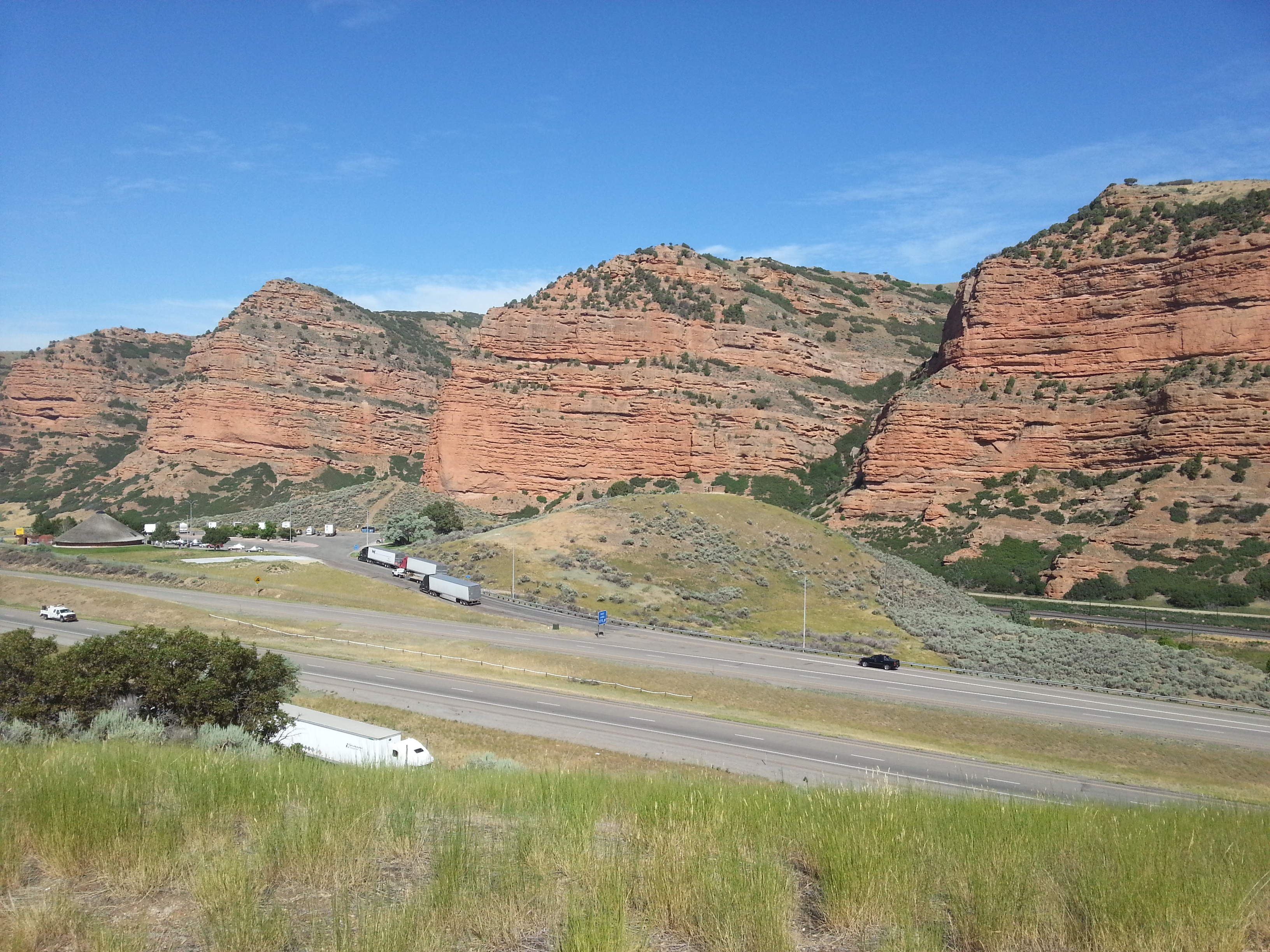


About
This 1,300-mile stretch of trail follows the original path through five states used by pioneers heading toward the Great Salt Lake Valley. You can track the exact route taken from Nauvoo to the West by stopping at various historical markers and sites along the way.
Updated
Charging at a glance
- Closest listed charger: 18.7 km (L2)
- Closest listed DC fast charger: 19.8 km
- Networks listed: Electrify America
From the Open Charge Map listings under Charging nearby.
Quick Facts
Notable for: 1,300-mile route traveled by Mormons who fled Nauvoo, Illinois, to the Great Salt Lake Valley
Founded: November 10, 1978
Charging nearby
Charging data from Open Charge Map
OGALLALA
View on Open Charge MapL218.7 kmOGALLALA OPD 1
View on Open Charge MapL218.7 kmNPPD EV STATION NPPD OGLALA L2
View on Open Charge MapL219.1 km- DC Fast19.8 km
Worth the detour?
No verdicts yet - be the first who's been there.
Sign in to leave a verdictAttribution
- Bureau of Land Management
- npshistory.com
- NPS - National Park Service
- National Park Service - National Park Service, U.S. Department of the Interior
- Recreation.gov (RIDB) - Recreation Information Database (RIDB)
- Wikidata - Wikidata / Wikimedia Commons
- Wikipedia - Wikipedia (CC BY-SA)