About
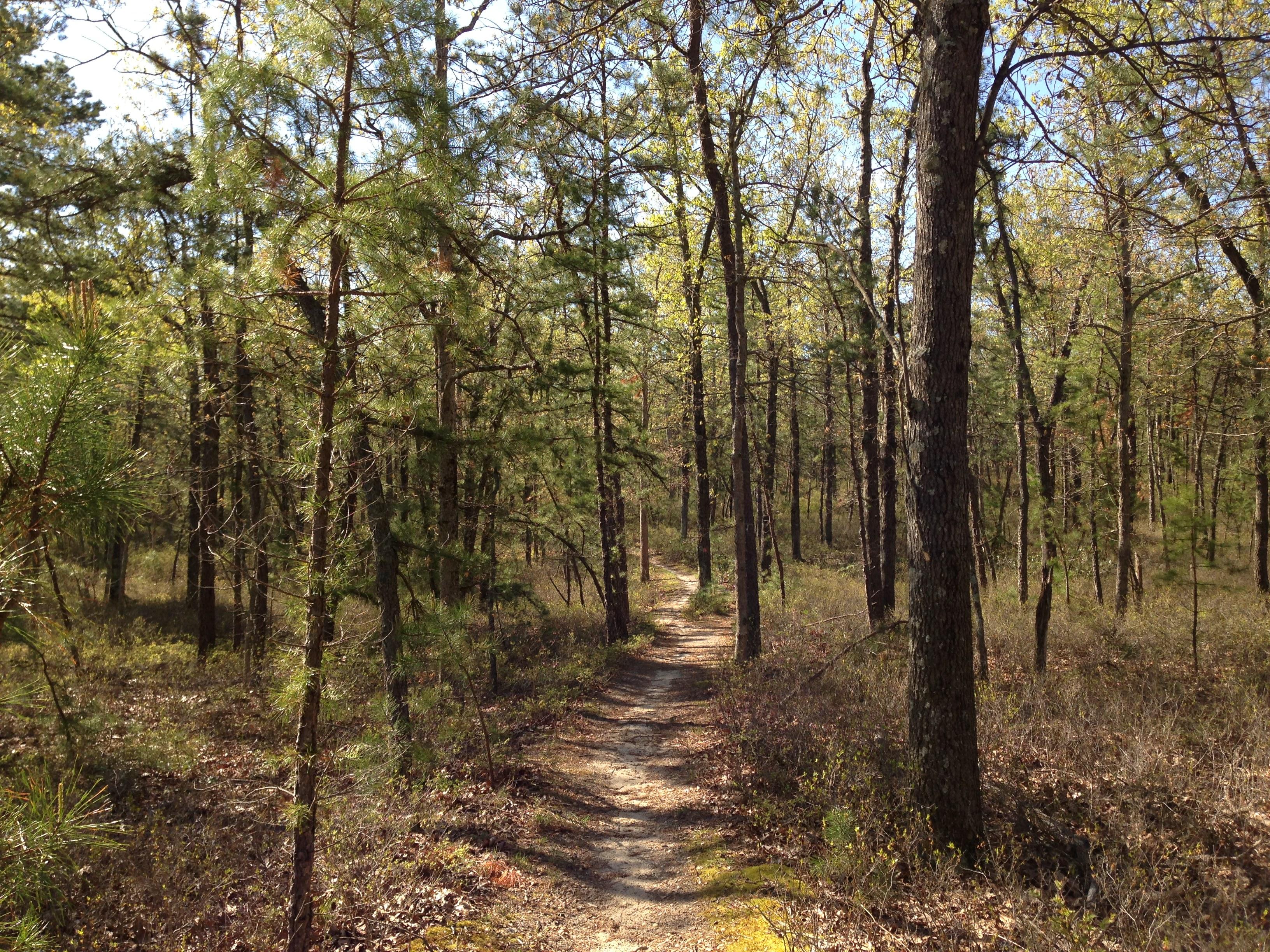
You will find over a million acres of oak-pine forests, wetlands, and berry farms spread across southern New Jersey. It is a massive stretch of pine barrens where you can switch between quiet historic villages and deep forest trails.
Updated
Charging at a glance
- Closest listed charger: 6.8 km (L1)
From the Open Charge Map listings under Charging nearby.
Quick Facts
Notable for: a unique location of historic villages and berry farms amid the vast oak-pine forests, extensive wetlands, and diverse species of plants and animals
Founded: 1978
Population: over 700,000 permanent residents
Charging nearby
Charging data from Open Charge Map
FCI Fort Dix
View on Open Charge MapL16.8 kmSOUTH1 SOUTH1
View on Open Charge MapL210.0 kmPinelands Preservation Alliance
View on Open Charge MapL210.3 kmJoint Base McGuire-Dix-Lakehurst
View on Open Charge MapL210.7 kmWEXFORD CSN-01697121
View on Open Charge MapL212.5 km
Worth the detour?
No verdicts yet - be the first who's been there.
Sign in to leave a verdictAttribution
- NPS - National Park Service
- National Park Service - National Park Service, U.S. Department of the Interior
- New Jersey Pinelands Commission
- Recreation.gov (RIDB) - Recreation Information Database (RIDB)
- Wikidata - Wikidata / Wikimedia Commons
- Wikipedia - Wikipedia (CC BY-SA)