
About
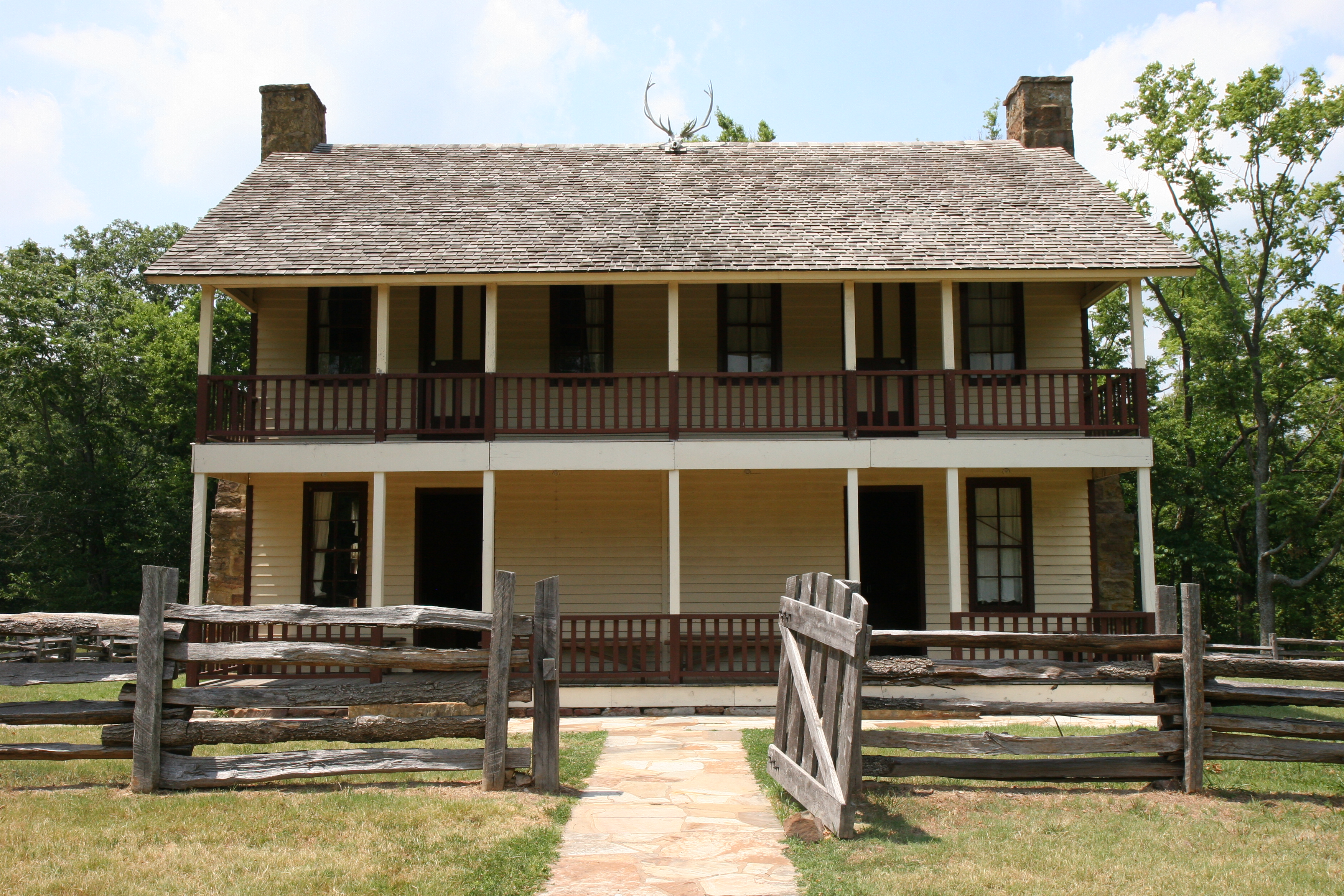
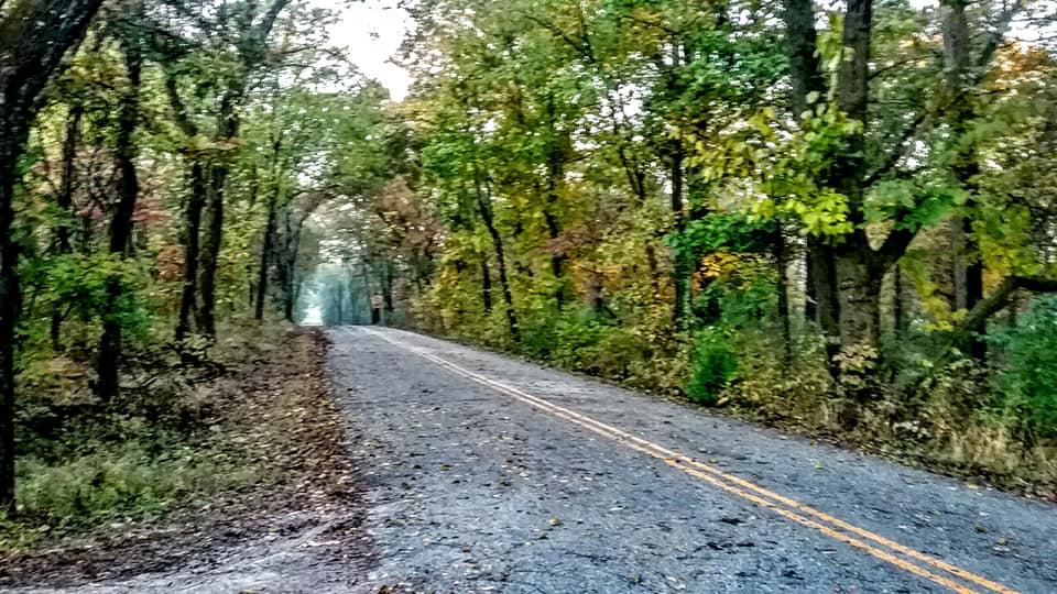
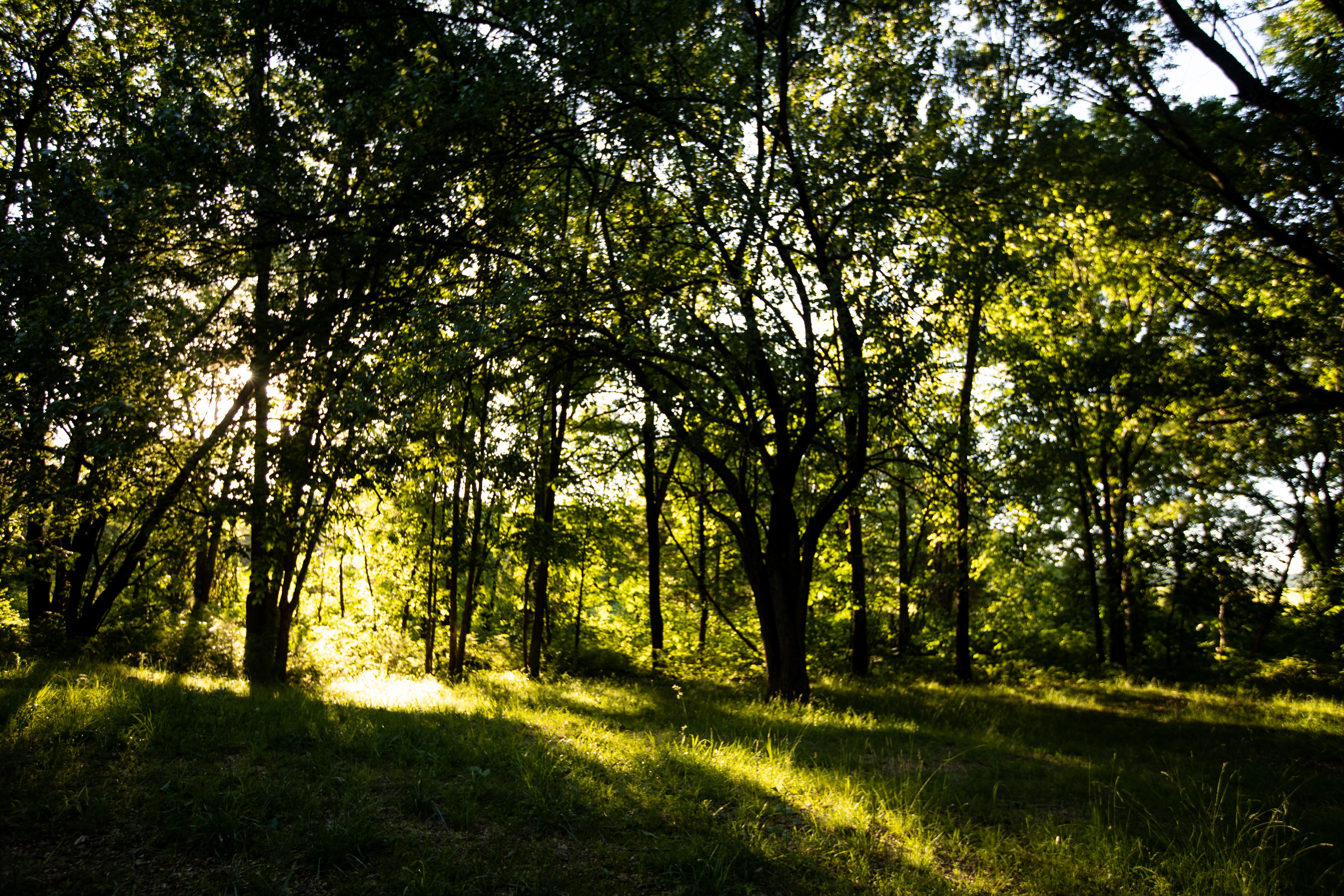
Rolling Ozark hills and open fields mark the site where 23,000 soldiers fought a turning point in the Civil War. You can walk the 4,400-acre battlefield to see exactly where the conflict shaped the fate of Missouri.
Updated
Charging at a glance
- Closest listed charger: 14.7 km (L2)
- Networks listed: Tesla (Tesla-only charging)
From the Open Charge Map listings under Charging nearby.
Quick Facts
Notable for: most pivotal Civil War battle west of the Mississippi River
Founded: 1956
Camping and fees
- Entry fee
- : no entrance feeSource: travelermap.net
Activities
- Hiking
Source: www.americanheritage.com
Charging nearby
Charging data from Open Charge Map
- L214.7 km
DOWNTOWN HUB STATION #1
View on Open Charge MapL215.7 kmBLUE CRANE 608 NE ALPHA
View on Open Charge MapL216.3 km
Worth the detour?
No verdicts yet - be the first who's been there.
Sign in to leave a verdictAttribution
- encyclopediaofarkansas.net
- travelermap.net
- americanheritage.com
- NPS - National Park Service
- National Park Service - National Park Service, U.S. Department of the Interior
- Pea Ridge National Military Park Foundation
- Recreation.gov (RIDB) - Recreation Information Database (RIDB)
- Wikidata - Wikidata / Wikimedia Commons
- Wikipedia - Wikipedia (CC BY-SA)