

About
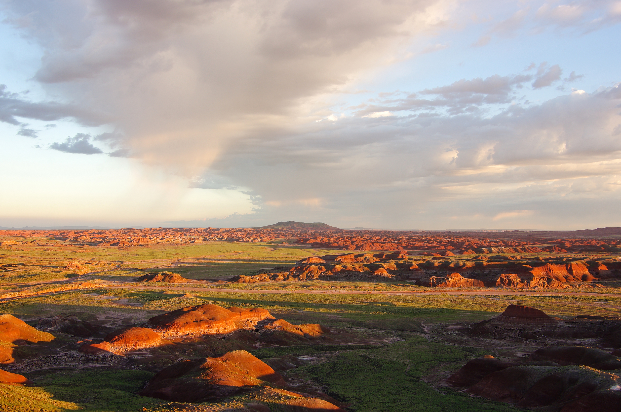
You will find massive deposits of colorful petrified wood scattered across red badlands and wide grasslands. It is a great place to pull off the highway to see ancient fossils and walk through old Puebloan sites.
Updated
Charging at a glance
- Closest listed charger: 9.2 km (L2)
From the Open Charge Map listings under Charging nearby.
Quick Facts
Notable for: one of the world’s largest and most vivid collections of petrified wood
Founded: 1962
Elevation: Averaging about 5,400 feet (1,600 m)
Seasons
- Road closure (November to December)Park Road hours of operation may change due to weather or safety issues. Closed Thanksgiving and Christmas.Source: www.nps.gov
Charging nearby
Charging data from Open Charge Map
- L29.2 km
- L223.3 km
Camp and charge reports
No reports yet - be the first to share what you found.
Sign in to add a reportWorth the detour?
No verdicts yet - be the first who's been there.
Sign in to leave a verdictAttribution
- nps.gov
- nps.gov
- NPS - National Park Service
- National Park Service - National Park Service, U.S. Department of the Interior
- Recreation.gov (RIDB) - Recreation Information Database (RIDB)
- Wikidata - Wikidata / Wikimedia Commons
- Wikipedia - Wikipedia (CC BY-SA)