

About
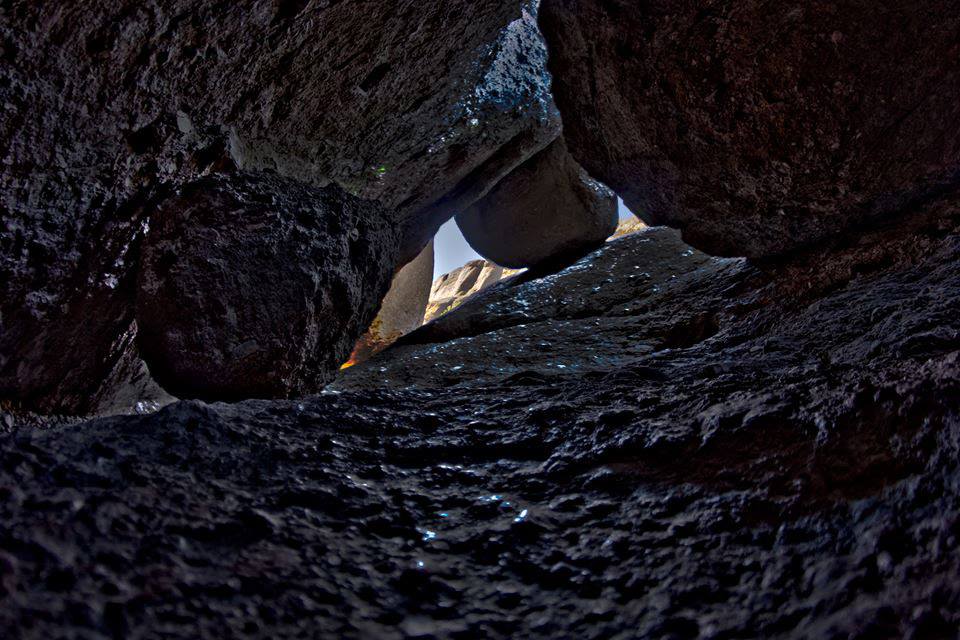
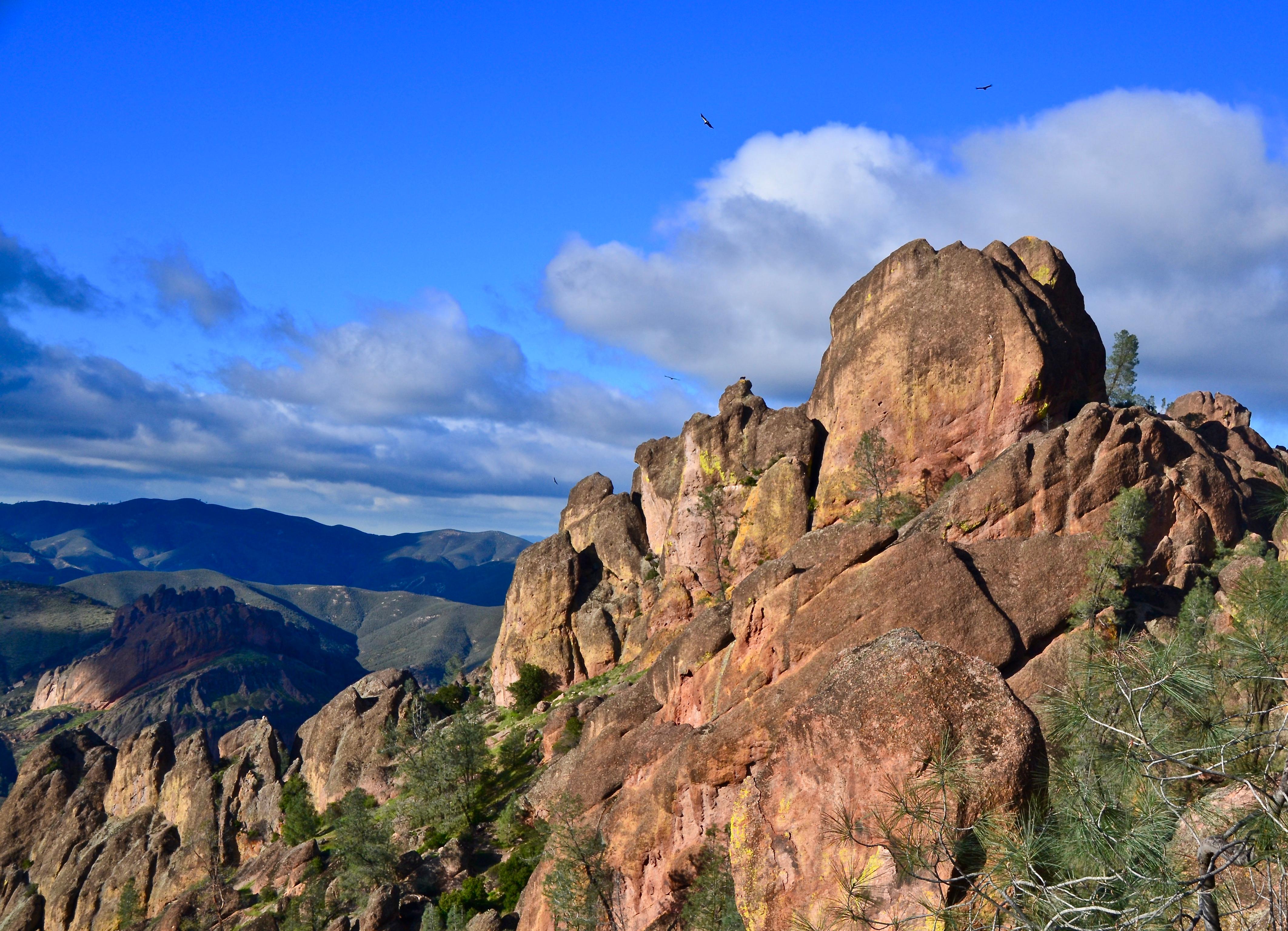
Sharp volcanic spires and deep, shaded canyons define this stretch of central California coast. You can spend your days hiking through oak woodlands or tracking condors above the rock formations.
Updated
Charging at a glance
- Closest listed charger: 3.1 km (L2)
- Closest listed DC fast charger: 14.8 km
- Networks listed: Tesla (including non-tesla)
From the Open Charge Map listings under Charging nearby.
Quick Facts
Notable for: striking terrain of rocky spires and deep canyons
Founded: January 16, 1908
Elevation: 824 to 3,304 feet
Charging nearby
Charging data from Open Charge Map
Pinnacles National Park - Pinnacles Visitor Center
View on Open Charge MapL23.1 kmSoledad Unified School
View on Open Charge MapL214.7 kmCity of Soledad
View on Open Charge MapL214.8 km- DC Fast14.8 km
PANDA EXPRESS NESTLES 02
View on Open Charge MapL214.9 km
Camp and charge reports
No reports yet - be the first to share what you found.
Sign in to add a reportWorth the detour?
No verdicts yet - be the first who's been there.
Sign in to leave a verdictAttribution
- en.wikipedia.org
- NPS - National Park Service
- National Park Service - National Park Service, U.S. Department of the Interior
- Recreation.gov (RIDB) - Recreation Information Database (RIDB)
- Wikidata - Wikidata / Wikimedia Commons
- Wikipedia - Wikipedia (CC BY-SA)
Trips featuring Pinnacles National Park
More in California

 City / Town
Big Bear Lake
CA
High-altitude pine forests and a massive alpine lake define this stretch of the San Bernardino Mountains. You can spend …

June Lake
CA
June Lake is a high-altitude cluster of alpine lakes surrounded by granite peaks and steep mountain passes. It is a prim…

Mammoth Lakes
CA
High-altitude lakes and the slopes of Mammoth Mountain define this stretch of the Eastern Sierra. You can spend your day…

Olympic Valley
CA
You will find steep ski runs and the Truckee River running right through the heart of this valley. It is the home base f…