
About
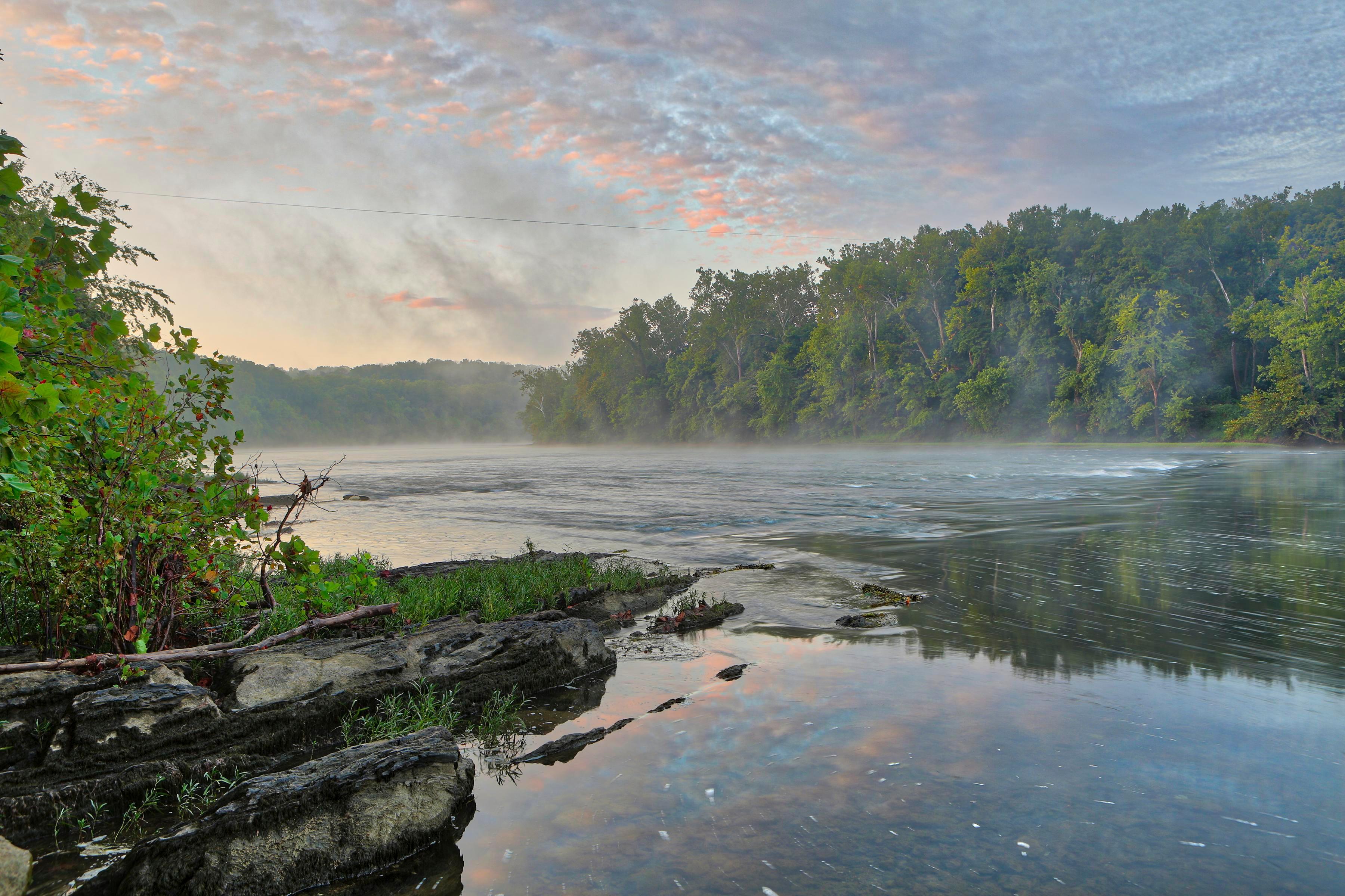
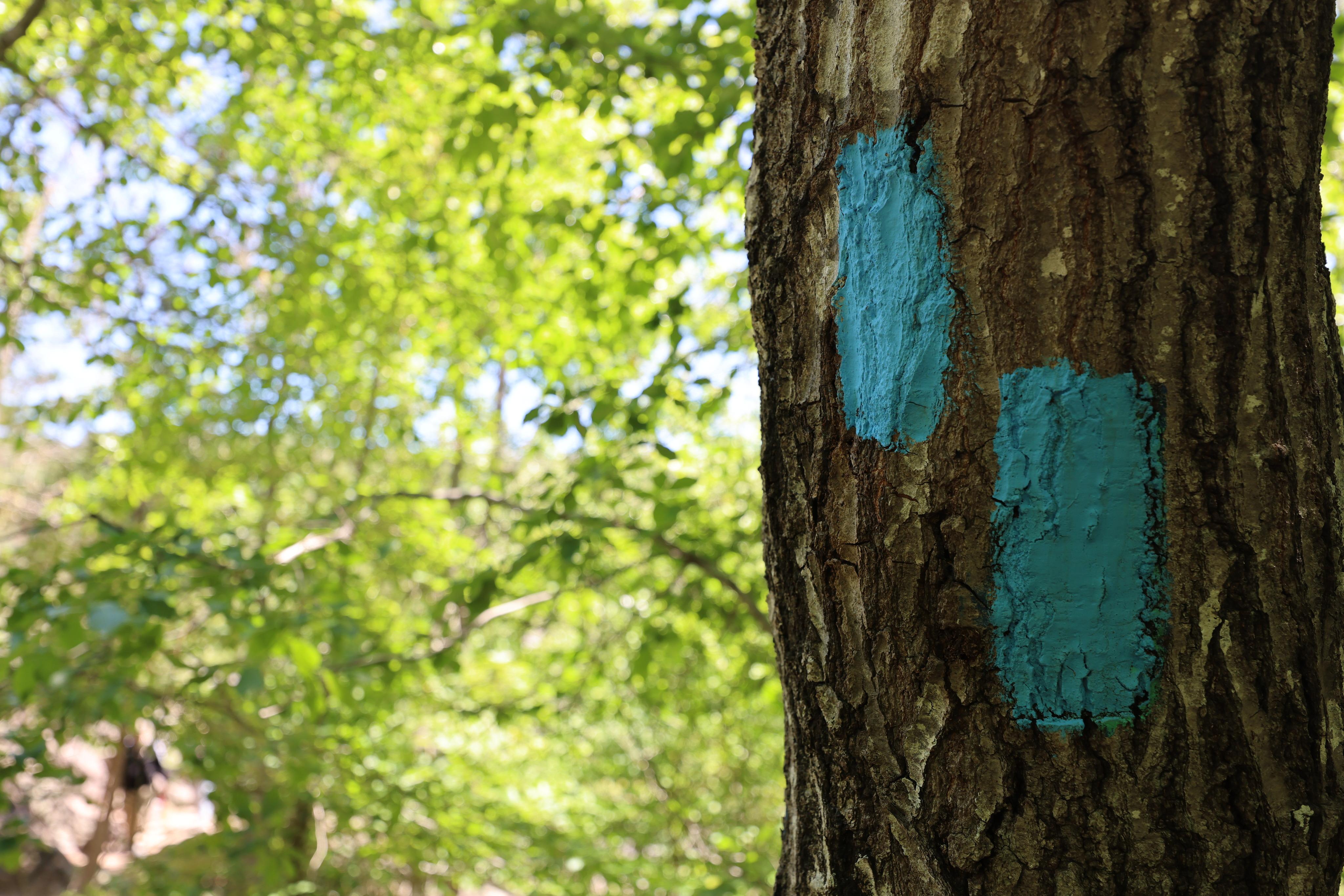
This trail network follows the Potomac River corridor through Maryland and Virginia, linking together historic sites and river views. You can hop between different sections to hike through the watershed or check out local cultural landmarks.
Updated
Charging at a glance
- Closest listed charger: 4.7 km (L2)
- Closest listed DC fast charger: 4.8 km
- Networks listed: Electrify America, eVgo Network
From the Open Charge Map listings under Charging nearby.
Quick Facts
Notable for: tracing the natural, historical, and cultural features of the Potomac River corridor, the upper Ohio River watershed in Pennsylvania and western Maryland, and a portion of the Rappahannock River watershed in Virginia
Camping and fees
- Entry fee
- : An entrance pass is not requiredSource: www.nps.gov
Seasons
- Season note (December to March)The Big Savage Tunnel on the Great Allegheny Passage is closed seasonally from December through March.Source: www.nps.gov
Charging nearby
Charging data from Open Charge Map
HHS / NIH - Poolesville, MD
View on Open Charge MapL24.7 kmHOME2 SUITES EV HOME2 SUITESEV
View on Open Charge MapL24.8 km- DC Fast4.8 km
LOUDOUN COUNTY PENNINGTON 4
View on Open Charge MapL24.9 km- DC Fast4.9 km
Worth the detour?
No verdicts yet - be the first who's been there.
Sign in to leave a verdictAttribution
- Bureau of Land Management
- nps.gov
- nps.gov
- NPS - National Park Service
- National Park Service - National Park Service, U.S. Department of the Interior
- Recreation.gov (RIDB) - Recreation Information Database (RIDB)
- Wikidata - Wikidata / Wikimedia Commons
- Wikipedia - Wikipedia (CC BY-SA)