


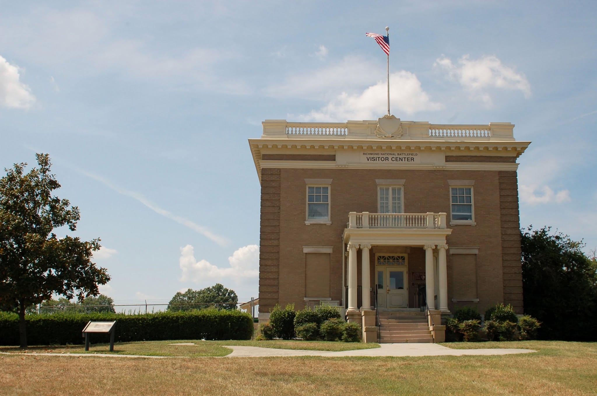
About
You will find miles of defensive earthworks and open battlefields spread across thirteen different sites around the city. It is a heavy, historic stretch of Virginia terrain where you can walk the actual lines where Confederate manufacturing and wartime hospitals once operated.
Updated
Charging at a glance
- Closest listed charger: 4.2 km (L2)
From the Open Charge Map listings under Charging nearby.
Quick Facts
Notable for: commemorates 13 American Civil War sites around Richmond, Virginia, which served as the capital of the Confederate States of America for most of the war
Founded: March 2, 1936
Charging nearby
Charging data from Open Charge Map
COLONIAL CTR HR
View on Open Charge MapL24.2 kmDOMINION ENERGY
View on Open Charge MapL24.5 kmRVA RVA1-2 / RVA1-3
View on Open Charge MapL24.8 kmRVA RVA1-2 / RVA1-5
View on Open Charge MapL24.8 kmRVA RVA1-2 RVA1-4
View on Open Charge MapL24.8 km
Worth the detour?
No verdicts yet - be the first who's been there.
Sign in to leave a verdictAttribution
- en.wikipedia.org
- NPS - National Park Service
- National Park Service - National Park Service, U.S. Department of the Interior
- Recreation.gov (RIDB) - Recreation Information Database (RIDB)
- Wikidata - Wikidata / Wikimedia Commons
- Wikipedia - Wikipedia (CC BY-SA)