


About
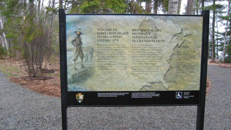
This small, uninhabited island sits right in the middle of the Saint Croix River on the Maine-New Brunswick border. You can view the site of the failed 1604 French settlement from the mainland banks, where the history of early North American colonization is still visible in the landscape.
Updated
Charging at a glance
- Closest listed charger: 4.3 km (L2)
- Networks listed: Tesla (Tesla-only charging)
From the Open Charge Map listings under Charging nearby.
Quick Facts
Notable for: site of an early attempt at French colonization by Pierre Dugua, Sieur de Mons in 1604
Charging nearby
Charging data from Open Charge Map
Rossmount Inn Hotel Restaurant & Bar
View on Open Charge MapL24.3 km- L25.5 km
NBP - St. Andrews
View on Open Charge MapL27.9 km
Worth the detour?
No verdicts yet - be the first who's been there.
Sign in to leave a verdictAttribution
- nps.gov
- NPS - National Park Service
- National Park Service - National Park Service, U.S. Department of the Interior
- Parks Canada
- Recreation.gov (RIDB) - Recreation Information Database (RIDB)
- Wikidata - Wikidata / Wikimedia Commons
- Wikipedia - Wikipedia (CC BY-SA)