About
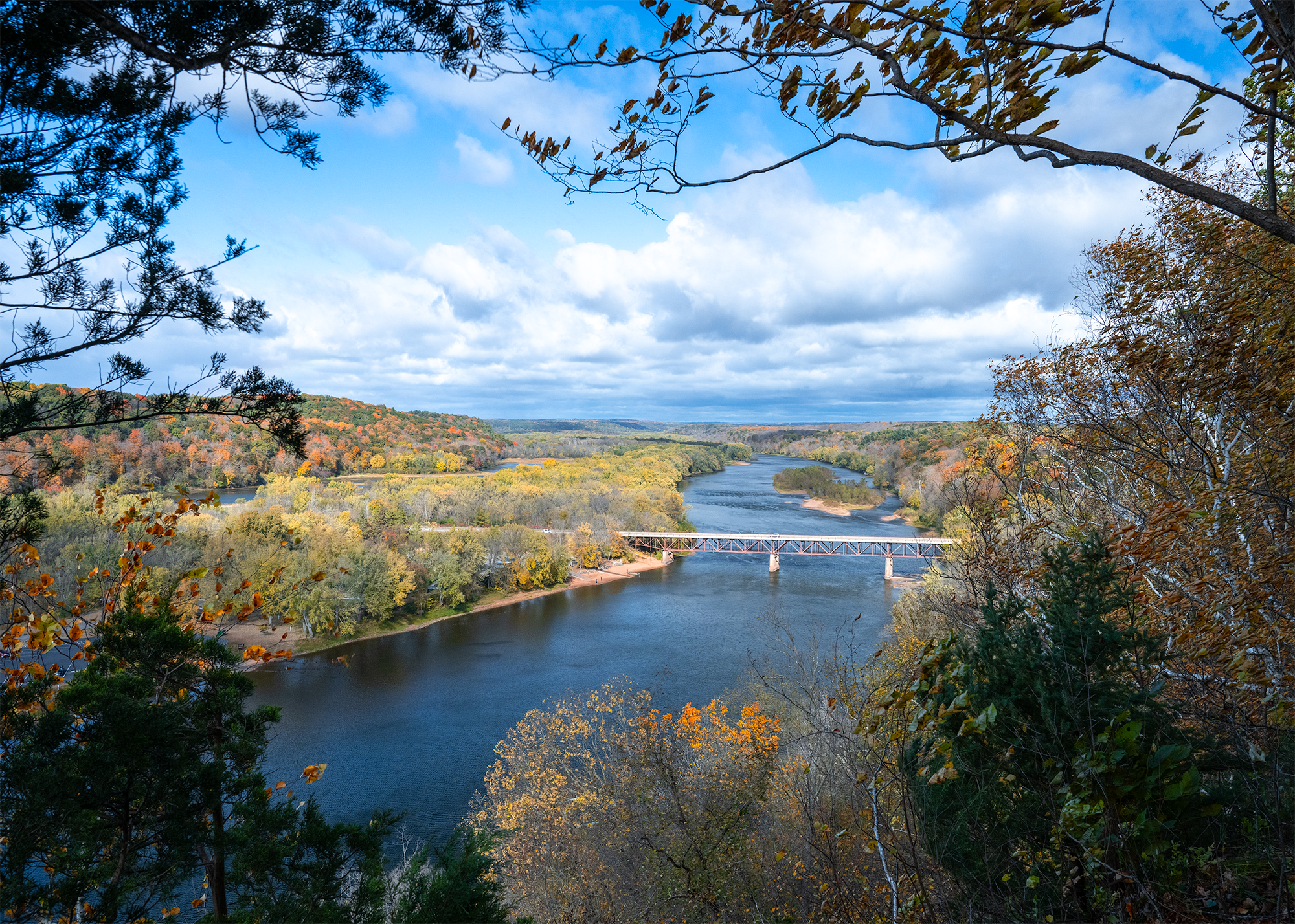
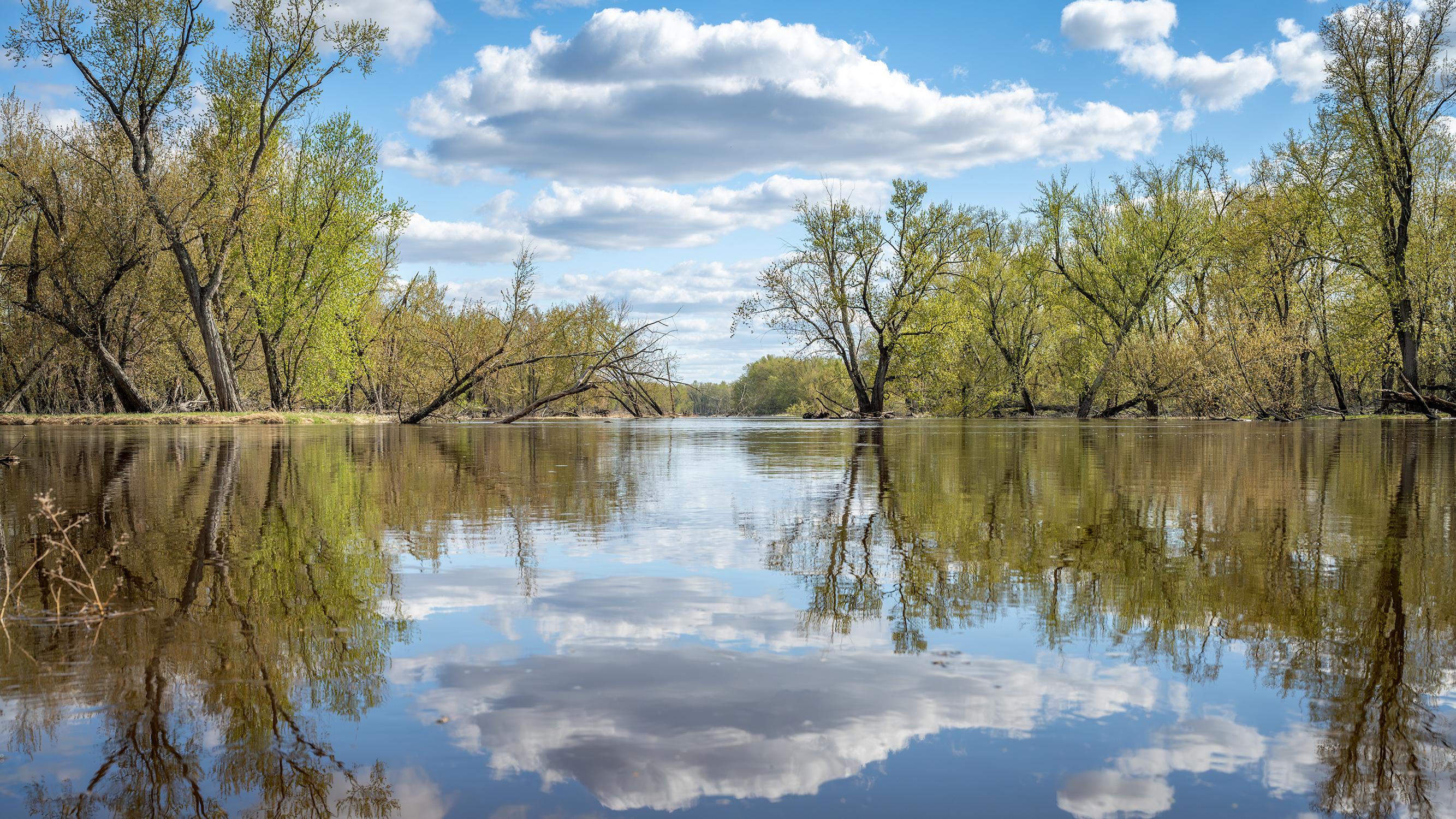
You can paddle or boat through 200 miles of flowing water where the St. Croix and Namekagon rivers wind through dense forests. It is a great stretch for camping and fishing, especially if you want to stop by some of the older river towns along the way.
Updated
Charging at a glance
- Closest listed charger: 9.4 km (L2)
- Closest listed DC fast charger: 12.8 km
- Networks listed: Tesla (Tesla-only charging)
From the Open Charge Map listings under Charging nearby.
Quick Facts
Notable for: over 200 miles of clean water that glides and rushes through a forested landscape
Activities
- Hiking
Source: www.nps.gov
Charging nearby
Charging data from Open Charge Map
- L29.4 km
Fourwinds Market - DCFC
View on Open Charge MapDC Fast12.8 kmAtek Distribution - Four Winds - PO 3461
View on Open Charge MapDC Fast13.0 kmNorthwest Passage Gallery
View on Open Charge MapL217.8 km
Worth the detour?
No verdicts yet - be the first who's been there.
Sign in to leave a verdictAttribution
- nps.gov
- Minnesota DNR
- NPS - National Park Service
- National Park Service - National Park Service, U.S. Department of the Interior
- Recreation.gov (RIDB) - Recreation Information Database (RIDB)
- Wikidata - Wikidata / Wikimedia Commons
- Wikipedia - Wikipedia (CC BY-SA)