

About
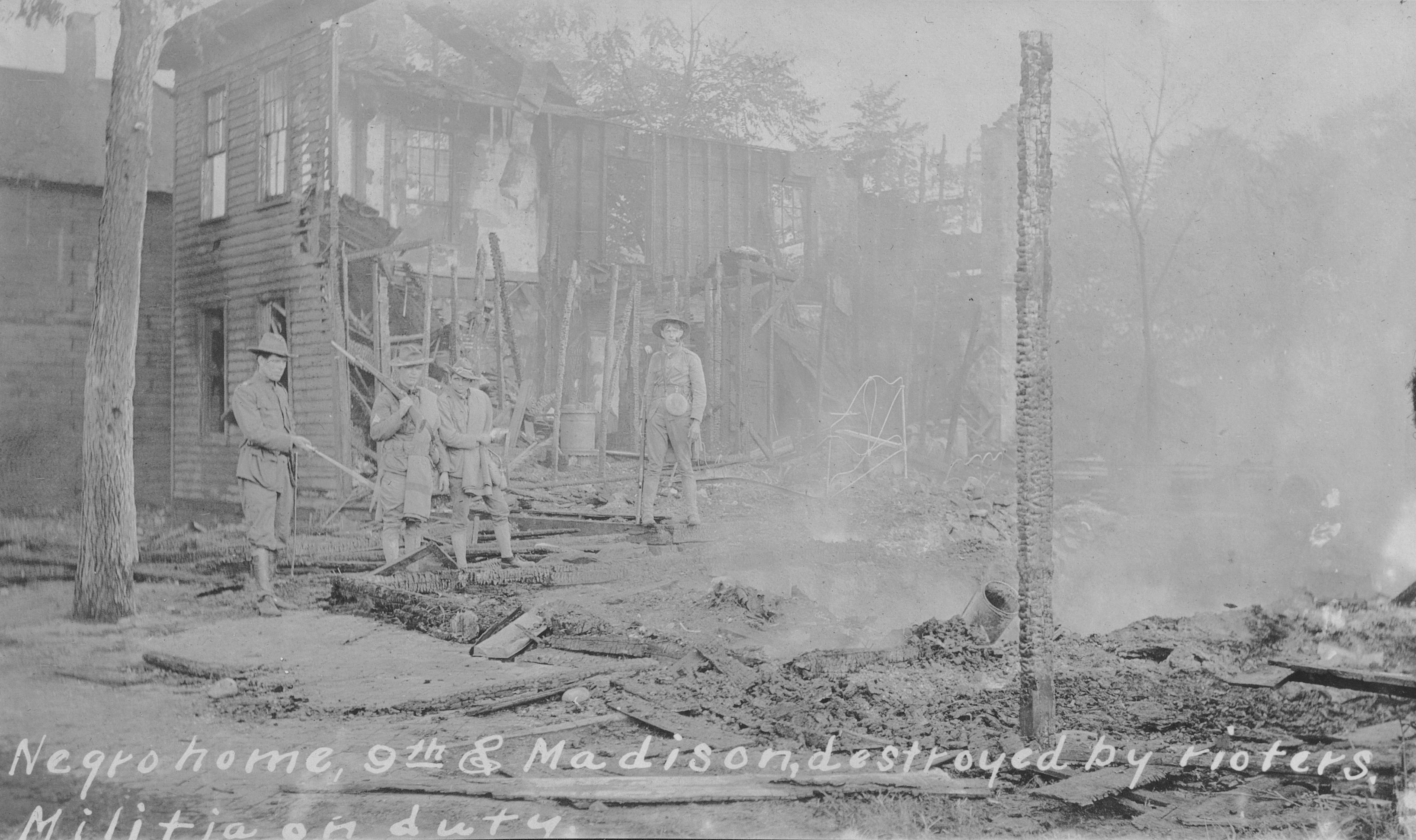
This site marks the ground where a 1908 race riot devastated Springfield's Black community and ultimately triggered the founding of the NAACP. You can walk the historic district to see archaeological evidence of the homes and businesses destroyed during the violence.
Updated
Charging at a glance
- Closest listed charger: 0.5 km (L2)
From the Open Charge Map listings under Charging nearby.
Quick Facts
Notable for: archeological evidence of a community devastated by the race riots of the early 20th century
Founded: August 16, 2024
Camping and fees
- Entry fee
- : no feesSource: www.nps.gov
Charging nearby
Charging data from Open Charge Map
DOCTORS RAMP DR RAMP SOUTH
View on Open Charge MapL20.5 kmNPS MWRO: LIHO - Morse House
View on Open Charge MapL10.6 kmSPRINGFIELD 1 CT4K STATION 1
View on Open Charge MapL20.7 kmNPS MWRO: LIHO - Atkins Barn
View on Open Charge MapL10.7 kmNPS MWRO: LIHO - Maintenance Shop
View on Open Charge MapL10.8 km
Worth the detour?
No verdicts yet - be the first who's been there.
Sign in to leave a verdictAttribution
- worldheritageusa.org
- nps.gov
- nps.gov
- nps.gov
- NPS - National Park Service
- National Park Foundation
- National Park Service - National Park Service, U.S. Department of the Interior
- Recreation.gov (RIDB) - Recreation Information Database (RIDB)
- Wikipedia - Wikipedia (CC BY-SA)