

About
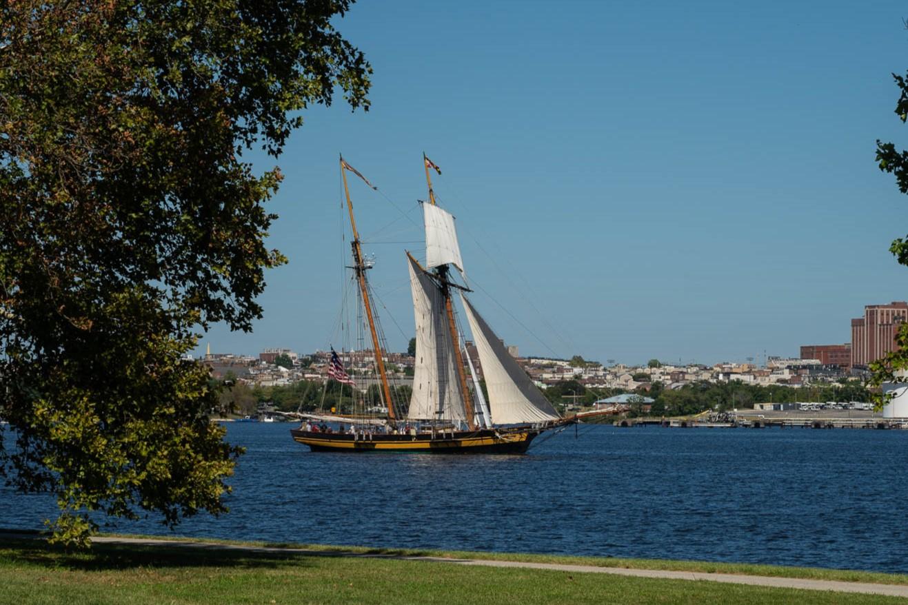
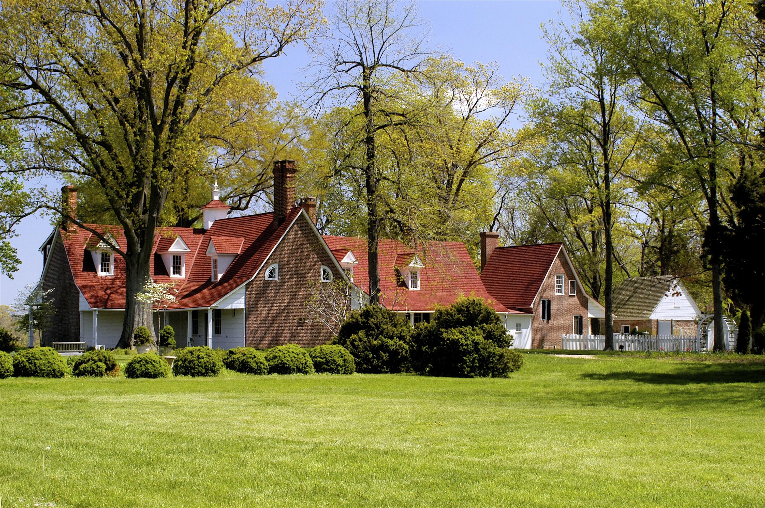
This trail follows the Chesapeake waterways and historic sites where the War of 1812 played out. You can spend your time walking through old battlegrounds or finding quiet spots along the coast to watch the tide.
Updated
Charging at a glance
- Closest listed charger: 0.0 km (L2)
From the Open Charge Map listings under Charging nearby.
Quick Facts
Notable for: a collection of sites impacted by the War of 1812
Founded: 2008
Camping and fees
- Entry fee
- : not requiredSource: www.nps.gov
Charging nearby
Charging data from Open Charge Map
President Street Parking Garage
View on Open Charge MapL20.0 kmPresident Street Parking Garage
View on Open Charge MapL20.0 kmCarrollton Inn
View on Open Charge MapL20.2 kmBaltimore Public Works Museum
View on Open Charge MapL20.3 kmHARBORPARK HPG STATION 5
View on Open Charge MapL20.3 km
Worth the detour?
No verdicts yet - be the first who's been there.
Sign in to leave a verdictAttribution
- Bureau of Land Management
- blm.gov
- nps.gov
- NPS - National Park Service
- National Park Service - National Park Service, U.S. Department of the Interior
- Recreation.gov (RIDB) - Recreation Information Database (RIDB)
- Wikidata - Wikidata / Wikimedia Commons
- Wikipedia - Wikipedia (CC BY-SA)