

About
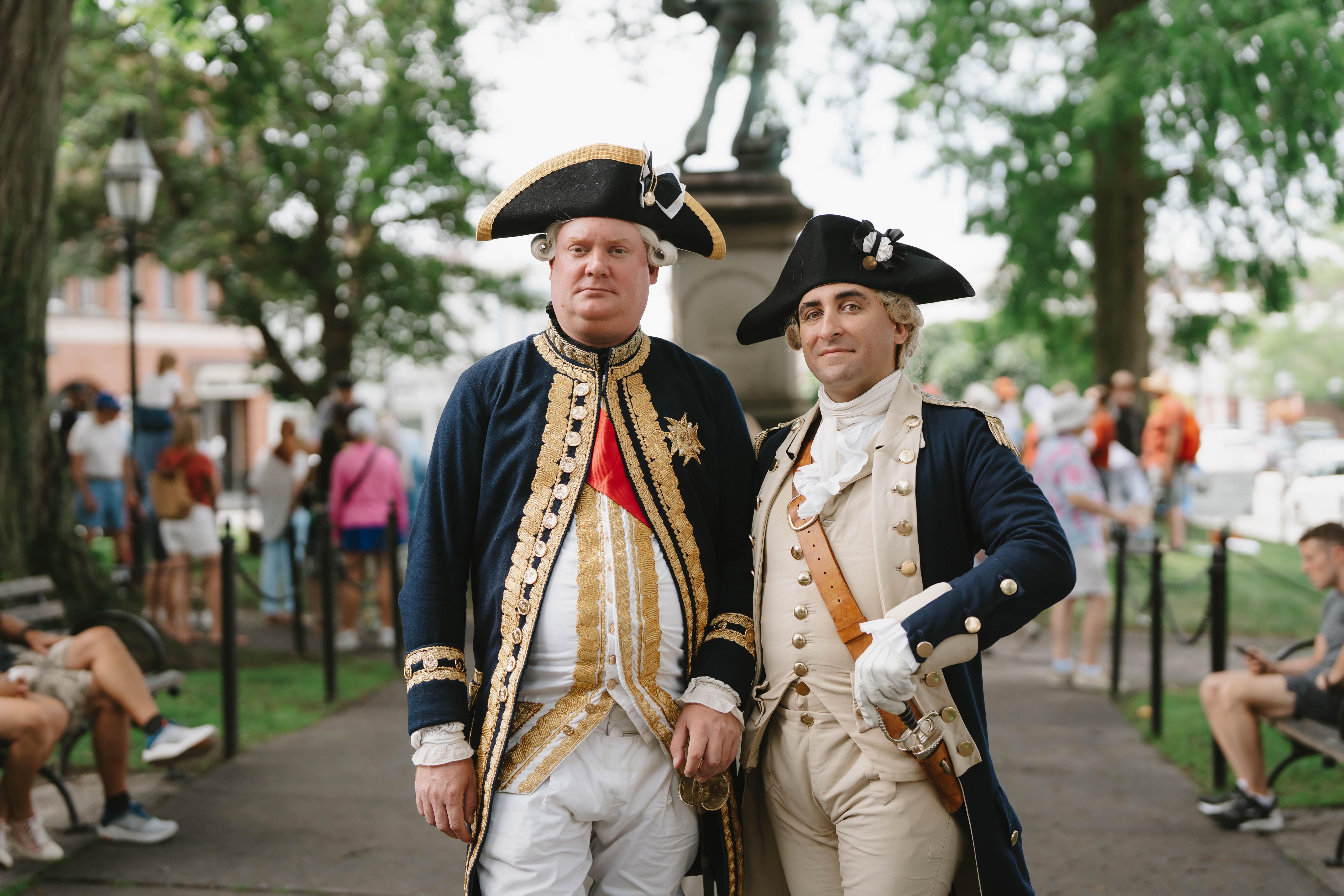
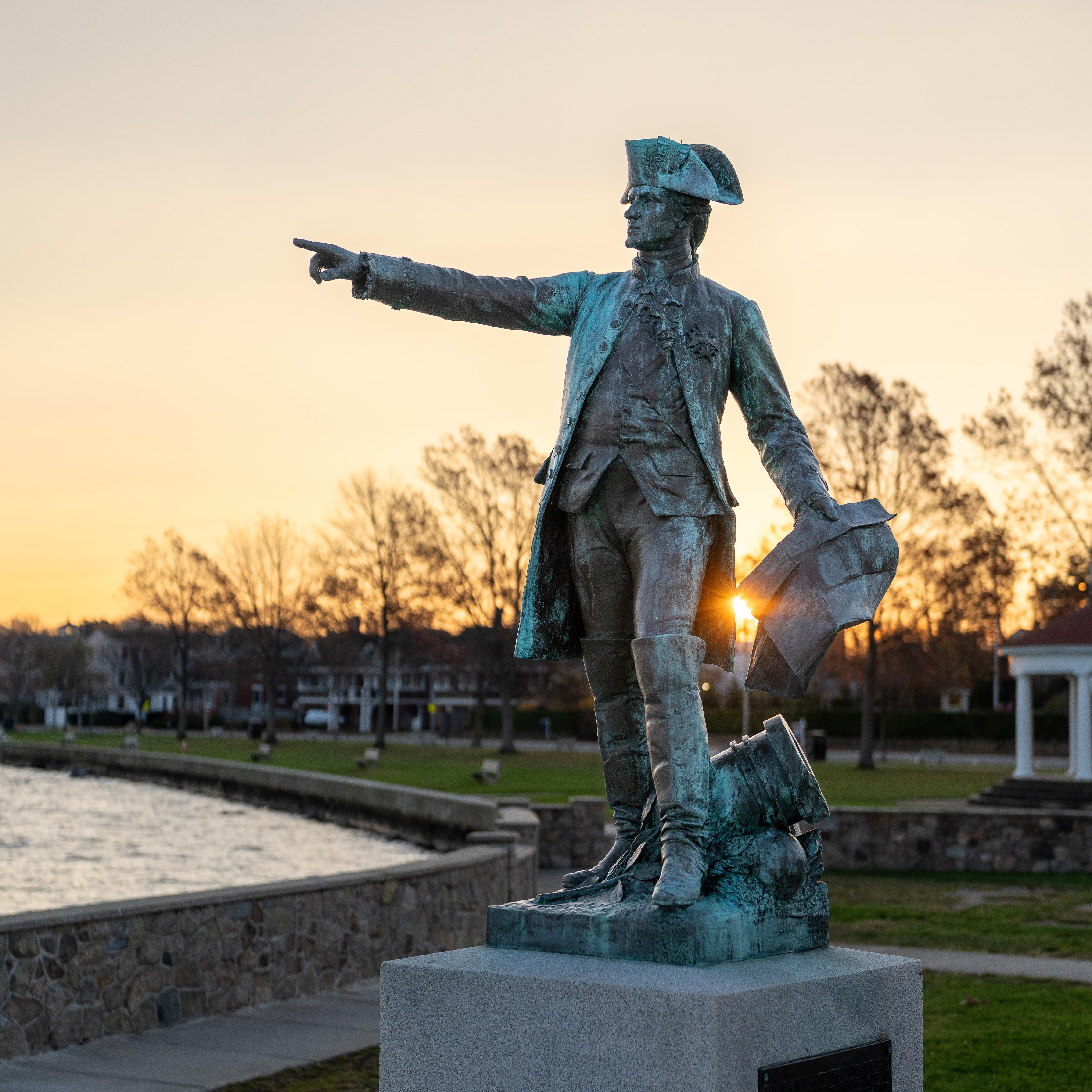
This 680-mile trail traces the exact paths used by Washington and Rochambeau during their 1781 march toward Yorktown. You can follow the historical footprints of the French and American forces across several states to see where the revolution actually moved.
Updated
Charging at a glance
- Closest listed charger: 0.9 km (L2)
- Networks listed: Tesla (Tesla-only charging)
From the Open Charge Map listings under Charging nearby.
Quick Facts
Notable for: paths taken by George Washington's Continental Army and Jean-Baptiste de Rochambeau's Expédition Particulière during their 1781 march
Camping and fees
- Entry fee
- : no feeSource: www.nps.gov
Activities
- Paddling
Source: www.nps.gov
Charging nearby
Charging data from Open Charge Map
GRUNDY STATION 1
View on Open Charge MapL20.9 km- L21.0 km
Island View Crossing
View on Open Charge MapL21.5 kmSTACY STREET STACY ST ST3
View on Open Charge MapL21.9 kmSTACY STREET STACY ST ST4
View on Open Charge MapL21.9 km
Worth the detour?
No verdicts yet - be the first who's been there.
Sign in to leave a verdictAttribution
- Bureau of Land Management
- nps.gov
- nps.gov
- nps.gov
- NPS - National Park Service
- National Park Service - National Park Service, U.S. Department of the Interior
- Recreation.gov (RIDB) - Recreation Information Database (RIDB)