About
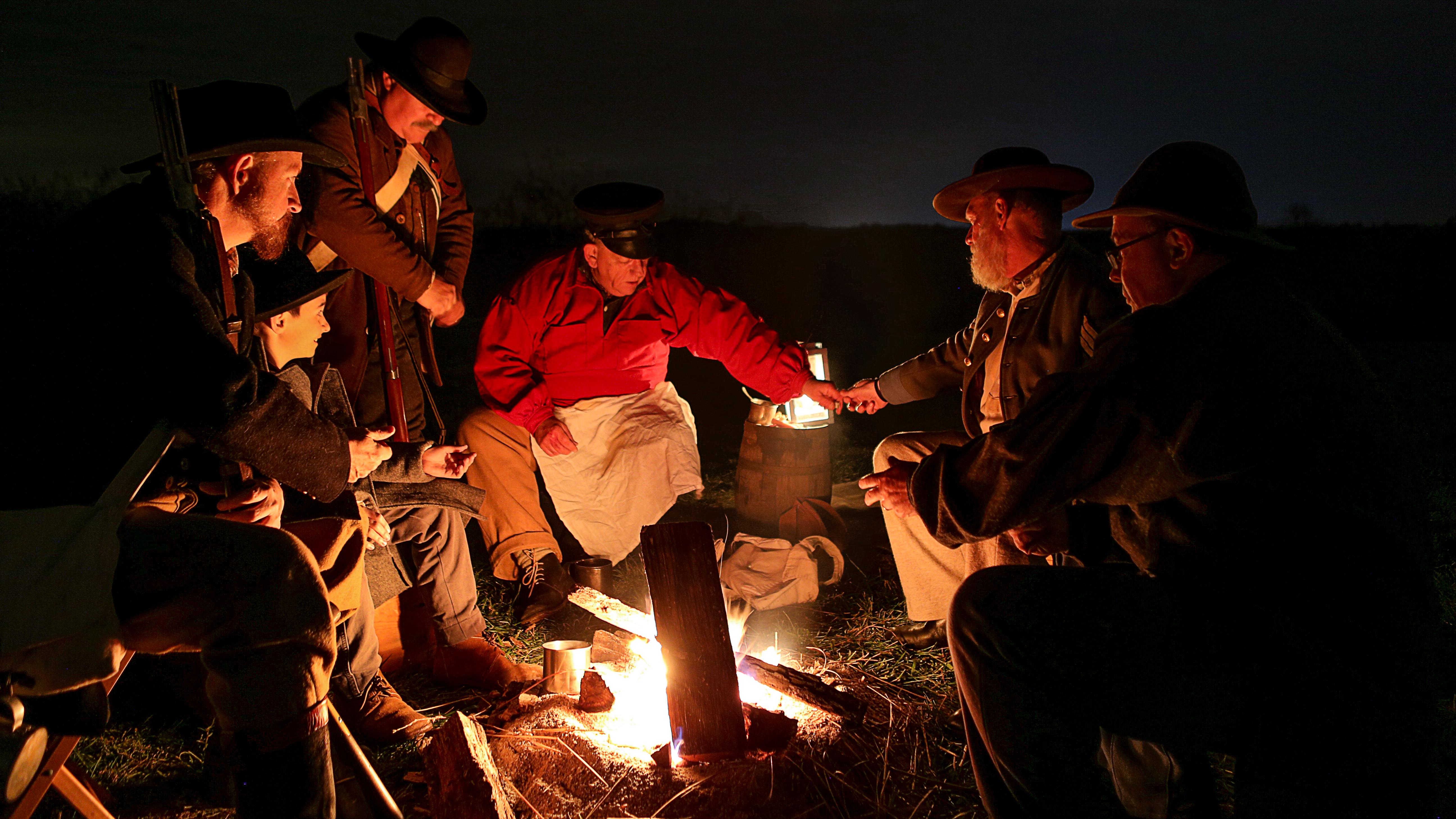
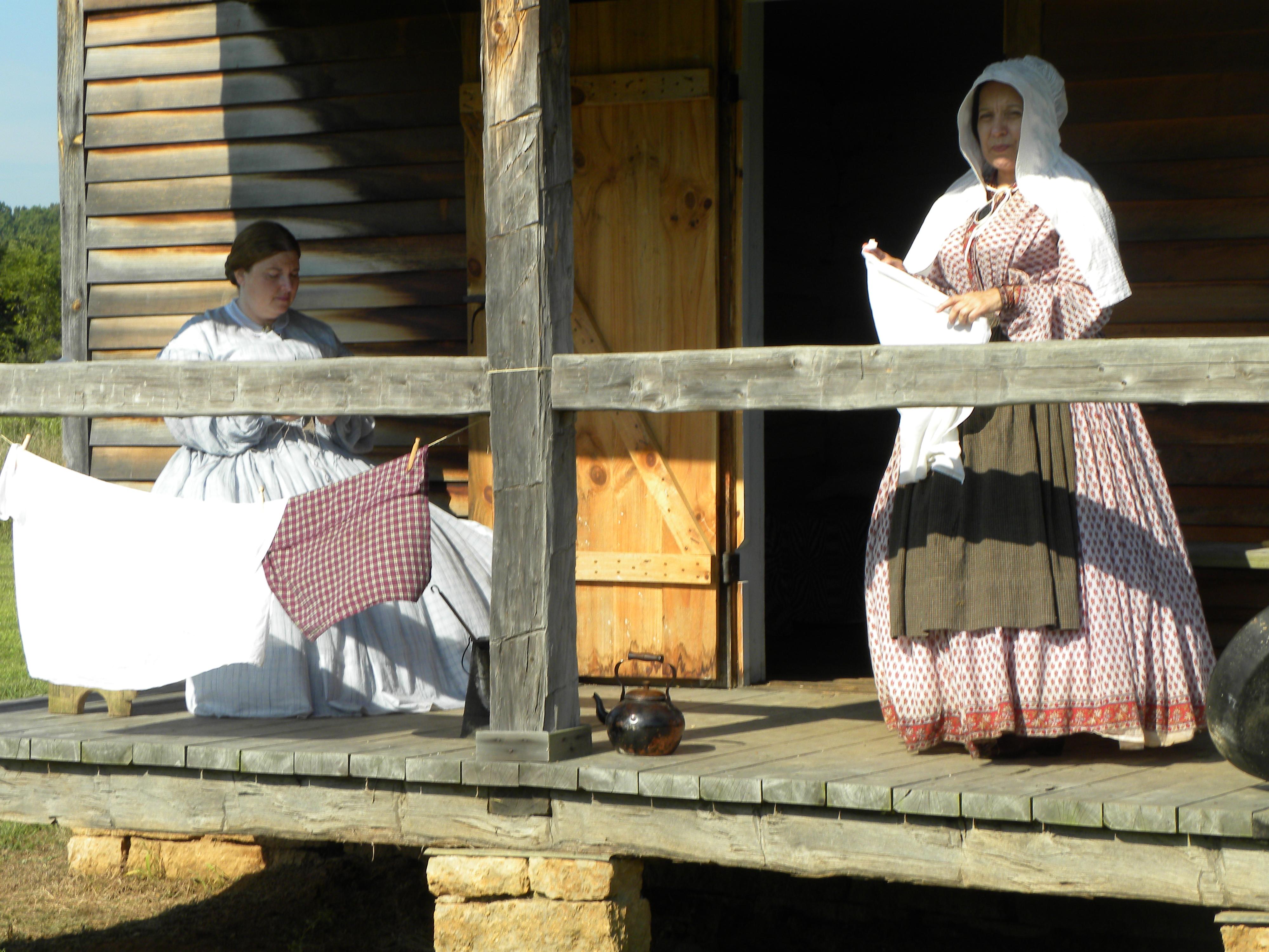
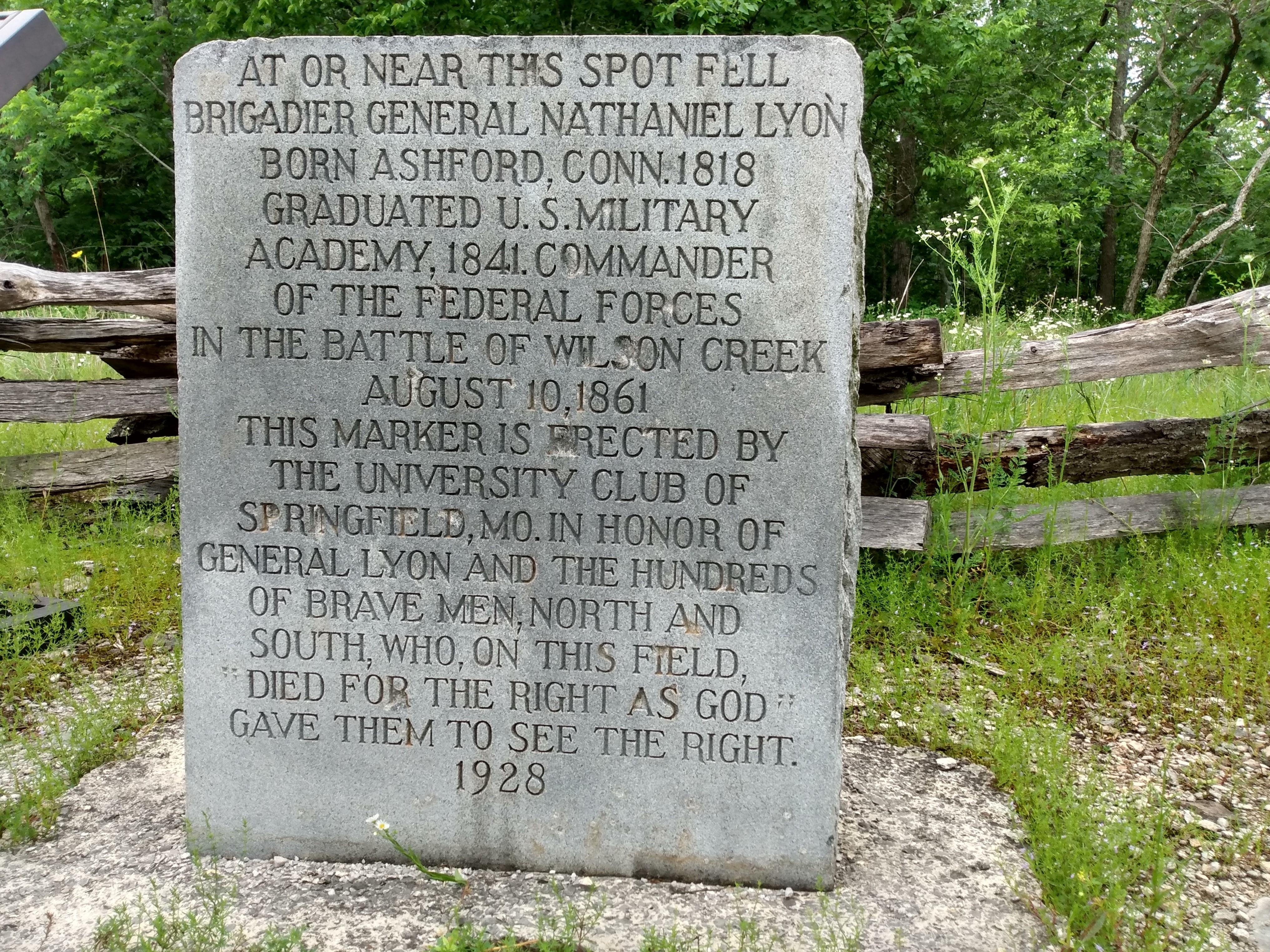
This battlefield preserves the site of the first major Civil War fight west of the Mississippi, centered around the intense fighting at Bloody Hill. You can drive a five-mile loop through the terrain to see the historic Ray House and the locations where the conflict shifted control of Missouri.
Updated
Charging at a glance
- Closest listed charger: 1.9 km (L2)
From the Open Charge Map listings under Charging nearby.
Quick Facts
Notable for: the first major Civil War battle fought west of the Mississippi River
Founded: April 22, 1960
Camping and fees
- Entry fee
- : no longer charge an entrance feeSource: www.nps.gov
- Reservations
- : special use permit requiredSource: www.nps.gov
- Camping
- : prohibitedSource: www.nps.gov
Charging nearby
Charging data from Open Charge Map
NPS MWRO: WICR - Visitor Center
View on Open Charge MapL21.9 kmSILVERLEAF EV SILVERLEAF EV 1
View on Open Charge MapL26.1 kmMid-Missouri Bank
View on Open Charge MapL210.1 kmHY VEE SPRNGFLD MO 1 S
View on Open Charge MapL210.7 kmOAKSTAR - NIXA SOUTH STATION
View on Open Charge MapL210.7 km
Worth the detour?
No verdicts yet - be the first who's been there.
Sign in to leave a verdictAttribution
- nps.gov
- nps.gov
- nps.gov
- NPS - National Park Service
- National Park Service - National Park Service, U.S. Department of the Interior
- Recreation.gov (RIDB) - Recreation Information Database (RIDB)
- Wikidata - Wikidata / Wikimedia Commons
- Wikipedia - Wikipedia (CC BY-SA)